Mt Crandell - west to east traverse Scramble on 14-Jul-2022
A brilliant day for this fantastic traverse
Yolande planned the traverse of Mt Crandell using the SC5 route from the west (Rambler trip r405) and Kane's south-eastern descent route (r175) also SC5. The other regular routes to Crandell are the more challenging Bear's Hump (r170 SC7) and Tick Ridge (r180 SC6) routes.
Unfortunately, Yo was attacked by a vicious feline and required multiple intravenous antibiotic injections, so she asked me (Carl) fill in for the actual hike. (Update a few days later, the arm has healed and is less bothersome than some nasty bug bites received at Beauvais Lake.)
We met at the Park offices at the bottom of the Tick Ridge and SE slopes routes, left a car there, and drove to the south end of the Crandell Lake trail on the Akamina Parkway (the road to Cameron Lake). We set out a few minutes to 9:00. At the same time, Bill was leading a group going up and back down the western route, but starting from the north end of the Crandell Lake trail on the Red Rock Parkway. Note that ours was shorter and Bill feels that it is the better route since his was now a walk through the 2017 burn.
The route up the west slopes is relatively straight forward, most of it is a discernable trail. But there are a few sections that are not well defined and one just has to make for the high terrain. We attained the top of the west ridge after about two hours at a pretty steady Rambler pace. No sign of Bill's group behind us. The long summit ridge affords spectacular views in all directions. It was pretty windy for a while and we stopped for a bit in a sheltered spot about halfway the ridge.
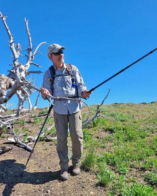
Dave looking at the summit of Mt Crandell - photo from Kate
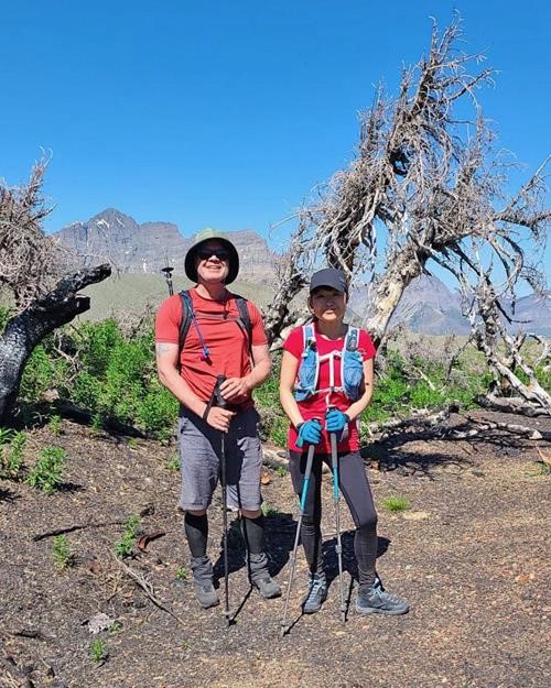
Garnet and Jing near the summit of Mt Crandell (Mt Blakiston in bkg) - photo from Kate
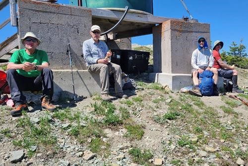
Carl, Dave, Gary and Jing at the summit of Mt Crandell - photo from Kate
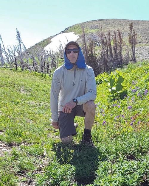
Gary near the summit of Mt Crandell - photo from Kate
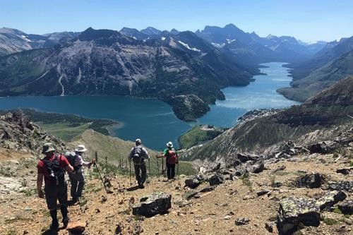
Descent off the east ridge of Mt Crandell - photo from Gary R
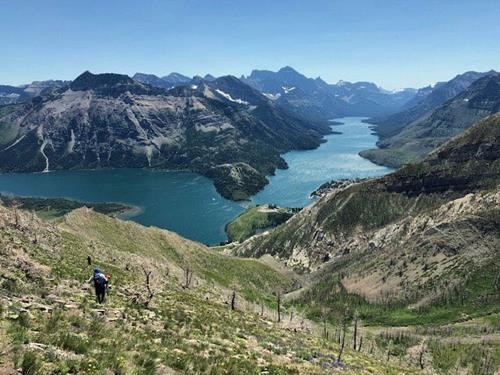
Descent off the east ridge of Mt Crandell - photo from Barb
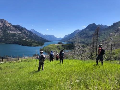
Final steps in the meadows - photo from Barb
Participants: ,Carl,Gary,Dave,Barbara,Garnet, Jing, Kate
PS if anyone cares this is from Yolande and my notes analyzing our deviation:
Yo,
It is as I came to expect…
I did identify your knob/bump/promontory exactly, It also shows in Barb's photo in the trip report. And it is covered in the light green/gray shale so common in Waterton.
And looking at your trip report ( https://www.ramblers.ab.ca/RecentTrips/RecentTripsDetail?TripReportID=6437 ), I’m fairly certain that where we went wrong was where we saw a big cairn and a small flock of sheep exactly where you describe that there might be some scrambling. Instead of staying high and finding your path by the sheep, we dropped down and eventually ended up in the dreaded gully. Kate suggested later that the cairn/sheep might be were we went wrong. We were however, always left of, and then below the promontory.
We also should have been paying closer attention to the track on Barb’s and David’s devices which are from Bob Spirko. And I had his track but had forgotten my phone. However, we were never very far from that track and would have had to be zoomed in quite close.
It was a fine adventure anyway…
Cheers,
Carl
On Jul 16, 2022, at 3:23 PM, Yolande wrote:
To see photos pre fire of the bump and trail below the cliffs that I’ve been mentioning, see the July 16, 2016 trip report.