Mt. Crandell via Kane's descent route Scramble on 16-Jul-2016
Part 1 – Ascent up Mt. Crandell via Kane's descent route
Despite predictions of rain starting at noon, 4 determined Ramblers joined the coordinator in a traverse of Mt. Crandell. We parked at the Parks Operation Office and went up the east side of the mountain and down the west side where we had parked a car at the Crandell Lake trailhead parking lot. I had gone up and down the east side before but not the west side. It was an enjoyable adventure ! It is mostly a hike with a very short scramble section if you go up and down the east descent route. For info on the west route, see part 2 below.
The trailhead for the ascent starts at the mouth of the valley that drains the Mt. Crandell ridges. There is a trail on the left side of the creek (as of 2016) and after about 50 meters it crosses the creek and you ascend a steep partially barren sandy/rocky slope. You ascend until just below the cliffband. Numerous trails will head earlier to the left which can be taken providing you continue up until you reach the more distinct top trail heading left.
The first destination is a bump called the promontory situated at the end of a ridge as it terminates at the edge of the creek valley.
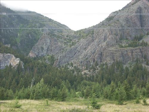
View up Mt. Crandell creek to promontory
Promontory is just left of the middle of the photo and below the bottom transmission wire.
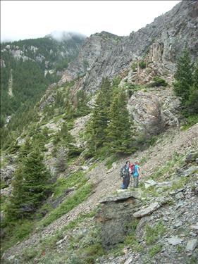
Trail along the base of the cliffs. Promontory in the background.
The trail below the cliffband takes you to a short scramble section.
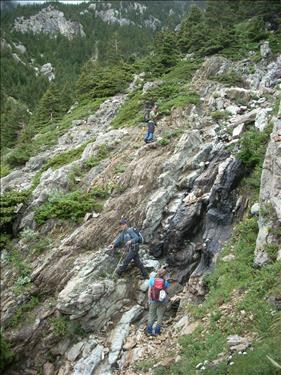
Short scramble section
After the scramble you are at the base of a wide slope that you ascend via numerous paths of your choice heading right and up to the low section of the promontory. The terrain is moderately steep in places as the trails go up between trees and rubbly sections.
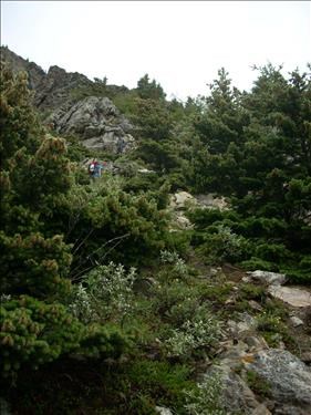
Trail through trees towards promontory at top left of the photo
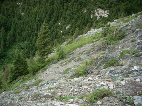
Example of the rubbly section going up to the promontory
Once you reach the promontory, go up the ridge and somewhere as you near the top you might come across a trail that goes left and angles up to the ridge line where it flattens out. We were walking in the mist so I didn't see the trail until just before the ridge flattened out. Once on this ridge, stay on it as it gradually ascends towards the summit ridge. There is one steep section right after the flat part and then it becomes a gentle grade. It may be tempting to angle up the bowl created by the ridges but I do not recommend it based on personal experience. It is much easier to go straight up the ridge and walk along the ridge crest. The views are also nicer.
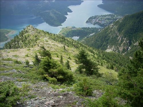
View of the start of the ridge. Promontory is the small grey splotch on the right towards the bottom of the ridge.
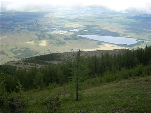
View of the ridge leading to the Mt. Crandell summit ridge
The final push to the summit ridge starts on a trail at the edge of the trees but it soon peters out.
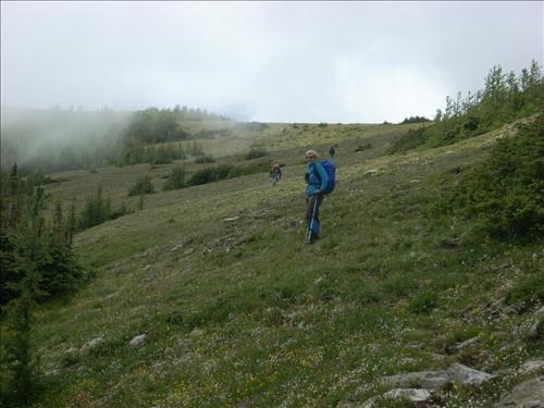
Rejeanne ascending to the summit ridge
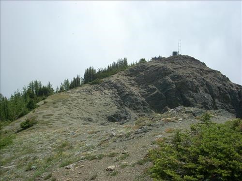
Final section of summit ridge
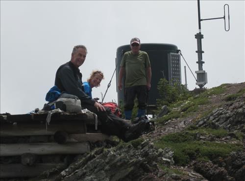
Bruce, Leslie and Bob on the summit
Part 2 – Descent down west ridge
On the way up to the summit we had only 15 minutes of rain then 30 minutes of glorious sunshine while eating lunch. I don't have any photos of the descent route due to the rain and bouts of hail for the first hour after lunch. The route follows the barren west ridge to its end then goes down the ridge edge to the left a short ways before contouring a long ways to the right. I am unable to give any further information on the route down because we descended too far and were very fortunately rescued by Bill and Arnold who lead us safely to Crandell Lake. They were flower hunting on the west side of the mountain and knew that we would be trying to descend the west ridge. If you do not already know how to go up or down the west ridge, do not do this traverse without first discussing route finding strategies with Bill or Arnold or someone else who has done it (but not me).
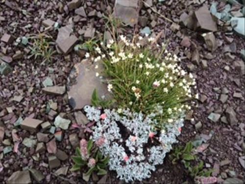
Token flower photo taken somewhere on Mt. Crandell
The route down ends somewhere along the main trail from the Cameron Lake road to Crandell Lake. Once you reach Crandell Lake, it is a 2km walk to the Crandell Lake trailhead parking lot.
Stats as per Bruce's GPS: total elevation 1250m, distance 15km, time 9:00am to 4:45pm, 4 hours to reach the summit
Participants: Rejeanne, Bruce, Leslie, Bob, Yolande (C/S)