Ship's Prow Scramble on 12-Jun-2013
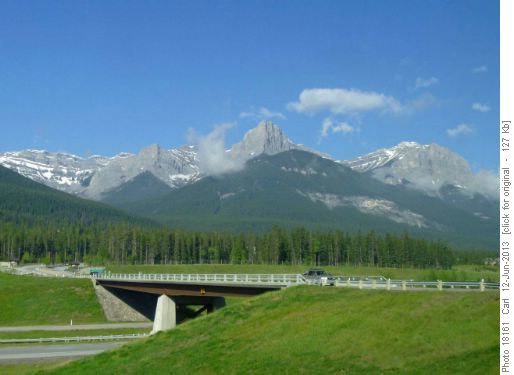
Ship's Prow is a frequently seen but rarely hiked eastern outlier of a secondary peak of Mt Lawrence Grassi.
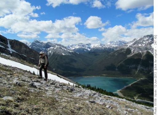
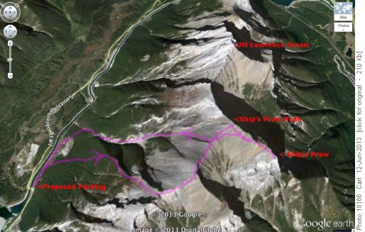
The name is not on the topo maps or in bivouac.com but is on the Gemtrek map and in peakfinder.com. Two descriptions that we found accessed it from the north via the Goat Creek parking lot but Alda had a better way. We drove a little further up the Smith-Dorrien road to the point where it crosses the canal that transports water to the power station. We parked there and then on foot followed the road along the east side of the canal for about 1/2 km before heading up from a clearing. The climb up is steep and treed but it almost wouldn't count as bushwhacking. After a little over an hour we broke through the tree line and took a well-deserved break. From there we followed an open ridge up to the main ridge of Mt Lawrence Grassi.
After two hours we gained the south ridge of Lawrence Grassi about 2 km from the summit (about 1 km south of Ship's Prow Peak).
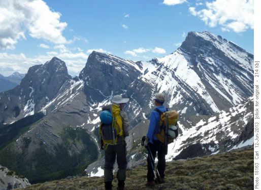
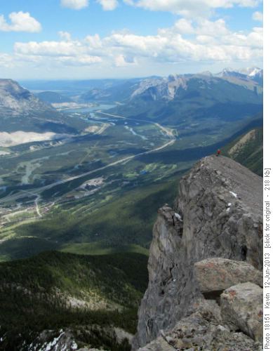
The views here, particularly of the Three Sisters were amazing.
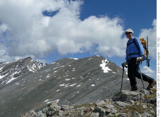
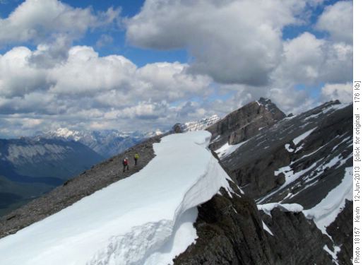
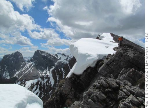
The walk along the ridge was straight forward. A massive cornice still remained on the east side and there was a large very well built cairn on a sub peak to the south of our target which we call Ship's Prow Peak.
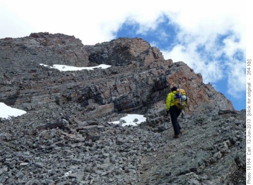
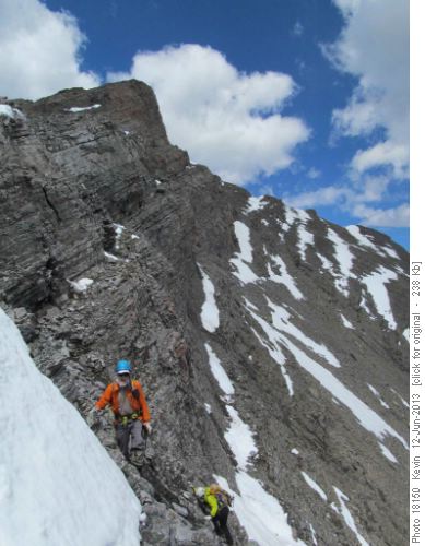
Right before the peak there is some scrambling. With care it is possible to find a scramble 5 route, but I wouldn't recommend this as a "beginner" scramble.
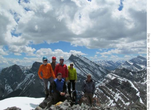
We were at the high point of the hike, Ship's Prow Peak a little over three hours from the car.
We took a long break and lots of photos identifying many peaks over a wide range and all agreeing that this is a better, more interesting hike than Mt Lawrence Grassi.
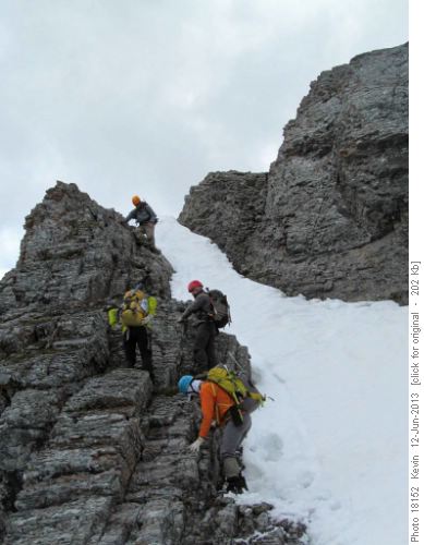
Then it was time to move on to the actual destination of the trip, the Ship's Prow. While this is about 100 m lower than the peak, the Prow is what you see from the highway. There is a tricky down climb about 50-100 m south of the summit.
This was fairly full of snow and at first we thought that we'd need ice axes to descend. But there were lots of great hand and foot holds beside the snow. As it was, it was a scramble 6. In dry conditions it is possible that the chimney would be only scramble 5. A little bit of up and down walking, sometimes on goat trails, brought us to the Ship's Prow.
On the way back to the ridge some of us shortcut to the low point south of the peak while others climbed back through the chimney.
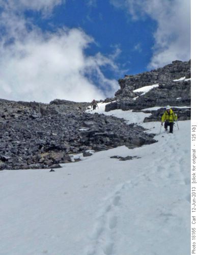
And from the low point between Ship's Prow Peak and the cairned summit south of it we descended on some snow and mostly rubble down the large gully to the north of our ascent route.
We were back at the cars in a little under 7 hours.
Special thanks to Alda for suggesting the trip and showing us the best route. And many thanks to Arnold, Clifton, Damian and Kevin (photos) for joining us, Carl (C/S).
