Jackknife Butte - Bob Creek Wildland Off-Trail hike on 13-May-2023
It was a "big" and "beautiful" day for this Ramblers trip. "Beautiful" because the weather was sunny and the wind initially was light providing cooling. The wind did pick up later in the day, but not strong enough to be problematic. Again " beautiful" for the stunning views of the Whaleback area - this ridge sits higher than most others in this area and its lack of trees on the ridge for much of the route. "Big" because this is a challenging trip especially for early season with lots of vertical and some up and down on the ridge and its distance. We did not return to the cars until well after 7:00pm and this included a short cut off the ridge that likely saved us 45 minutes to an hour - as we knew we were going to exceed our allocated activity time of 8 hours . We did do a a small unnecessary side trip on the way back which added probably about 20 unnecessary minutes time to our total time.
The final climb to the two summits would be OT-4 possibly bordering on OT-5 depending on route selected but the rest of the trip would likely be OT-3. Also in searching the Ramblers website, there does not appear to be any trip reported to this ridge and the trip does not show up in the trips database. I would recommend the inclusion of it in the Ramblers trip database due to the spectacular views and there likely could be lots of flowers in June/July season for those seeking that type of trip. It would appear that this is a Ramblers first ascent due to the fact there is no info on the website and the ridge is relatively remote in the Whaleback area.
We were off around 9:45 up the trail to the Camp Creek valley - this is an ATV route which we also used for the Camp Creek ridge trip a year before. The beaver dam which was used to cross on this previous trip was in disrepair, so we waded the creek.
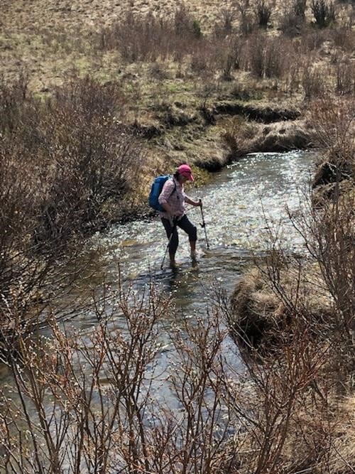
Janice crossing Camp Creek
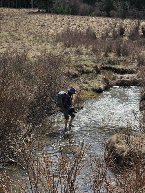
Janet crossing Camp Creek
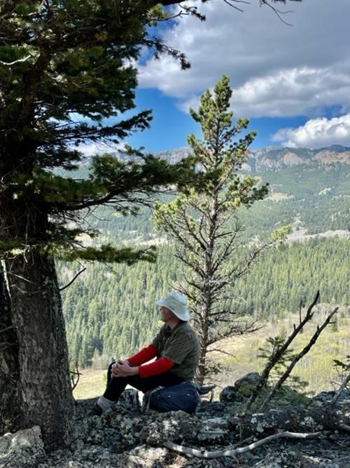
1st Lunch break on the ridge
Once past the treed section the ridge opens up and is a gentle climb until it drops to what appears to be a man-made pond with a small dam for servicing cattle - there are a number of cow pies along the ridge. Just before the drop to the pond we encountered two hunters in a bivouac and in addition two others further down the ridge in the distance likely coming to join them. These were the only people we saw all day.
After the pond, the ridge climbs up again
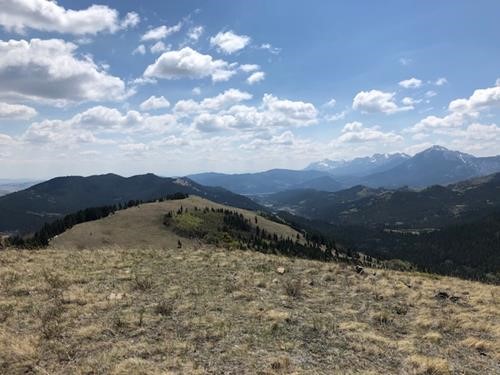
Looking back along the open ridge
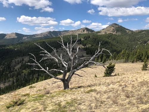
The two summits of Jackknife Butte - the one on the right is the higher
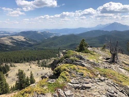
The view from the lower summit towards Miles Coulee and Camp Creek
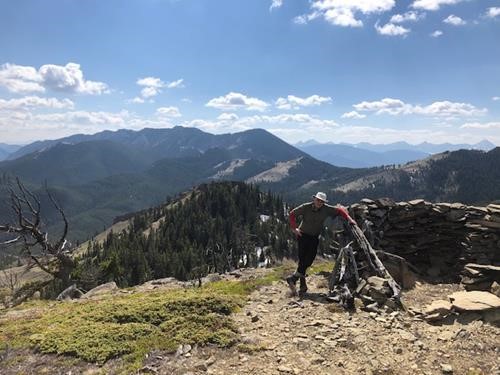
The summit bivy shelter with the lower summit behind
As time was getting on, we thought it would be worthwhile to consider a bailout route off the ridge and there appeared to be a possibility at the cattle pond. After examining it, even if there was no trail the trees appeared to be quite open, so it seemed to have potential and it was my guess it would bring eventually bring us out to where the trail connecting to Camp Creek from the PL was and save us a fair amount of time rather than continuing along the ridge. As we descended we came across a trail in a ravine with a gentle descent slope which took us right down to Camp Creek and near the rock formations (exactly where we had hoped it would take us to - a stroke of luck. We spied a beaver dam which might be usable to cross the creek, but alas the water had breached one side making it unusable for crossing. Three donned creek waders while one used "gators" over boots to cross. From here, we became tired plodders up to the low pass and down the back side -
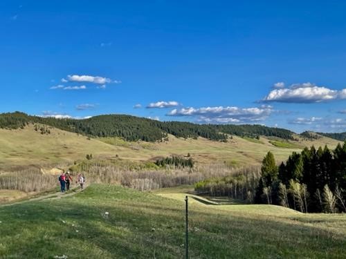
Heading Back
On the whole an excellent trip with stupendous views of the Whaleback and definitely one into a remote area rarely visited by hikers, We neither saw nor heard ATV's but did see deer fleeing at a distance in the woods and a few grouse.
Thanks to participants:Alicja, Janice, and Janet for joining me on this rather lengthy trip. We were all quite tired but very satisfied when we arrived back at the parking lot.
Thanks to Alicja and Janet for providing photos of the trip. A few more photos to follow yet.
Bob C/S/P