With one car left at Stony Creek, just east of Junction Hill trailhead, the 3 of us drove together in the other car to Cat Creek parking lot to begin our trip. During the short drive we faced a very important decision: is this going to be a snowshoe or hiking adventure. We decided to leave the snowshoes behind and risk post-holing higher up, while earnestly hoping the frequent “snow-eater” Chinook winds will have done their job, especially along the open ridge section. What we actually experienced was not quite as anticipated.
We made a quick visit to Cat Creek Falls, crossed the almost frozen creek, then ambled upward on wide trail to an old mine shaft.
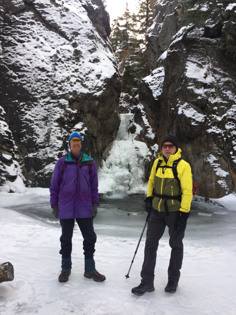
David and Damian at Cat Creek Falls
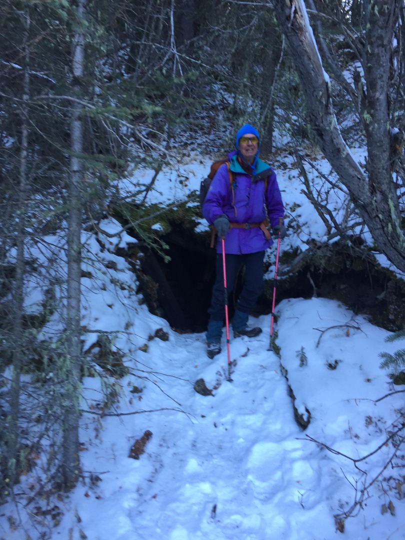
David at the old mine entrance
The main trail heading north generally parallels Cat Creek on the east side, but is farther back in trees where there are very few opportunities for views. The trickiest part of this whole trip is to not be seduced into taking the first trail branching to the right (east) because it is very close to the correct drainage, but is slightly before the creek and heads deceptively up and away from the east fork drainage, taking you steeply up to a Cat Creek knoll, which is not where we wanted to go today. The correct trail turns east only after you cross Cat Creek’s east tributary and come to an open meadow with a primitive camping spot. As we easily followed the correct trail heading east, the human footprints soon dissipated, and we (Damian) started breaking trail in about 6” of snow, sometimes following animal tracks. After a couple of kilometers in this direction, the trail turns left (north) rising to East Forks Gap, where obscured views can be had of the higher mountains to the east.
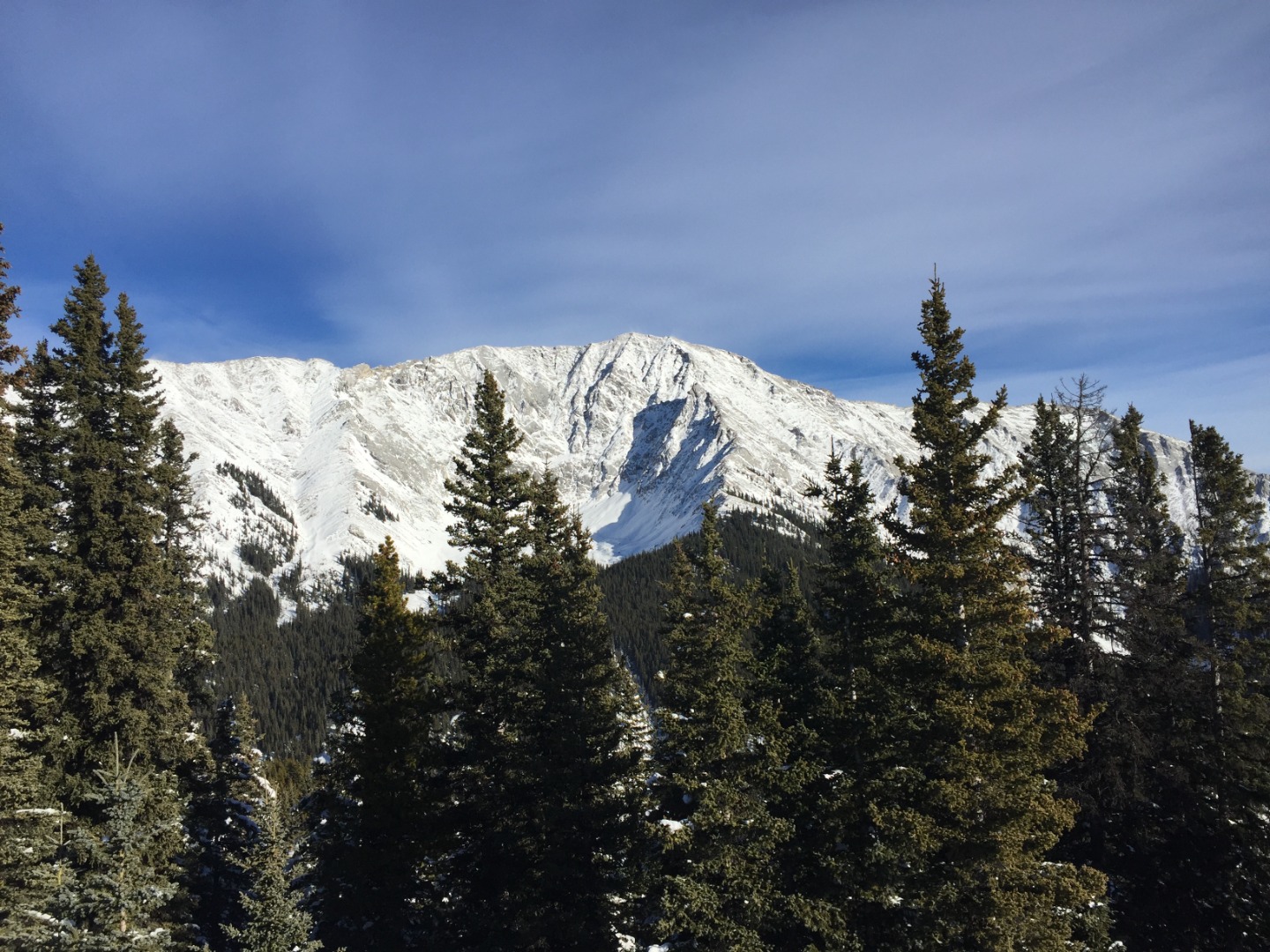
Mount Head from the west
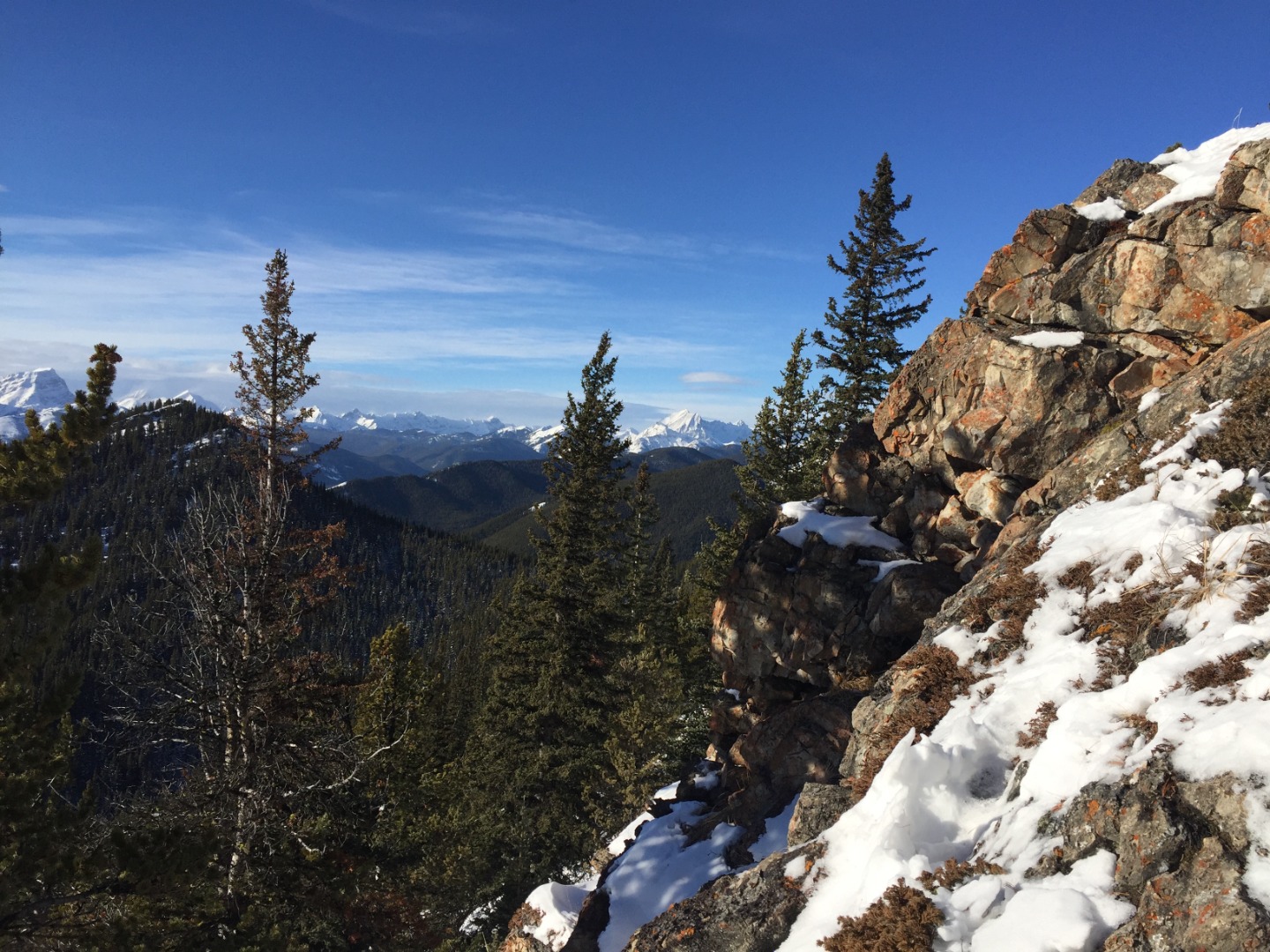
We stopped here at noon for a snack break before starting up the forested ridge to the south. After another couple of kilometers continuing upward, we finally came to the high point on Stony ridge with grand views of the mountains to the west.
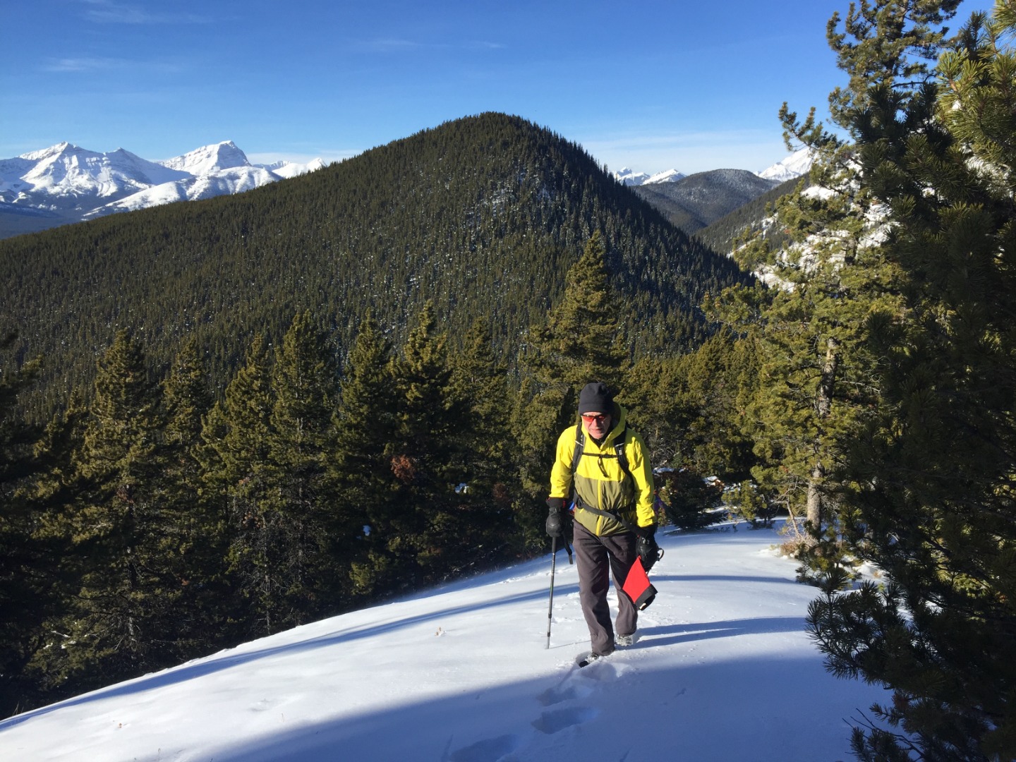
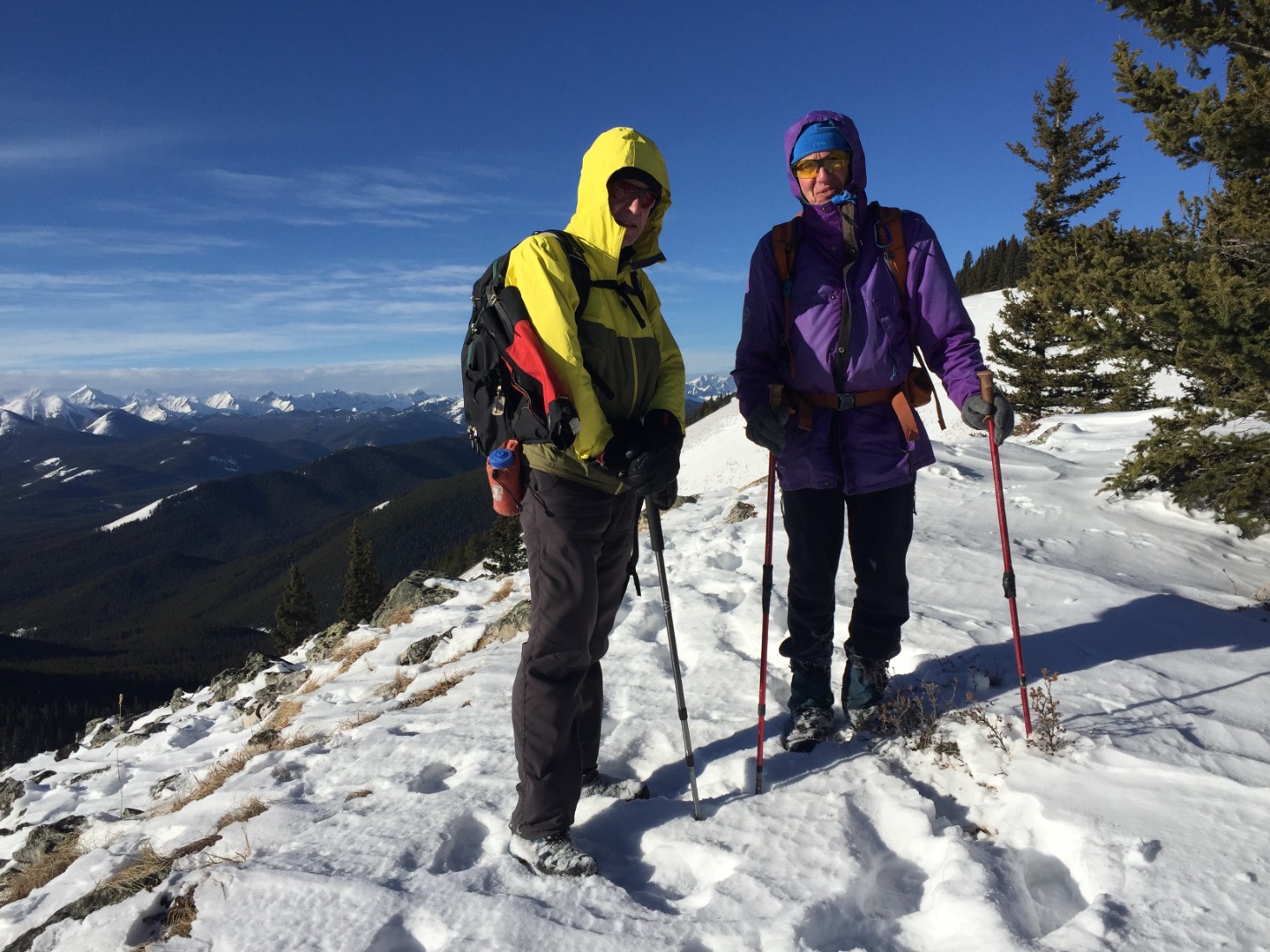
Damian coming up Stony Ridge with Horned Mtn. and Mt.Bishop in the background
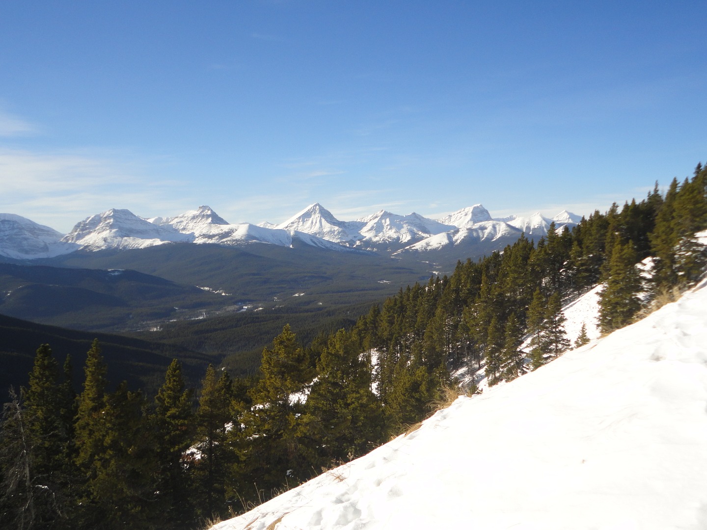
Sunny but windy; Junction Hill to the SW
However, the wind was blowing so strongly, that we sought shelter in the trees for our lunch break and did not linger long to take in those views.
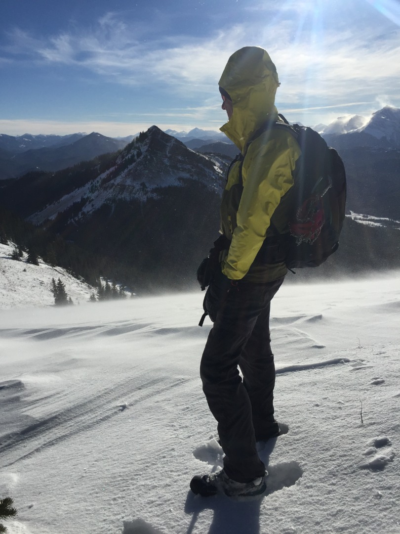
Summit shot
Snowdrifts were much deeper than I’d anticipated, in some places knee-deep. This open ridge is lovely in the bright sunshine, though 80 km/hr wind gusts made it feel like a real adventure to be endured as much as cherished.
Peaks L-R: Strachan, Muir, McPhail, Horned, Bishop, Loomis (photo courtesy David)
How Stony ridge may have gotten its name
We proceeded south down the ridge and came to the col between Stony Ridge to the east and Junction Hill to the west. This is where the wind funnels through with full force, making standing/walking surprisingly challenging. In a few minutes we were back in the shelter of the trees, heading down towards the car waiting for us at highway 541.
It took us 6:15 to make the 15 km traverse (with 1,120 m total elevation gain), before the car shuttle back to Cat Creek. The good company and discussion of Damian and David were much appreciated.
Brian, Coordinator