We started our trip right from HWY 940 because the dirt road was too rutted for low clearance vehicles. The wide track brought us all the way to the low passageway between Coffin mountain to the south and Mount Livingstone to the north. We bypassed the normal route up Livingstone, in favour of its more interesting rocky ridge slightly to the east. As the 3 of us started up, we soon found ourselves in foggy cloud with a strong, cold west wind.
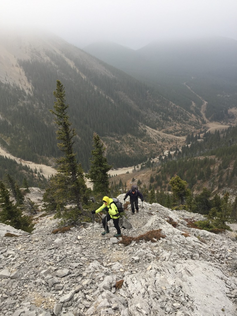
Starting up the south ridge
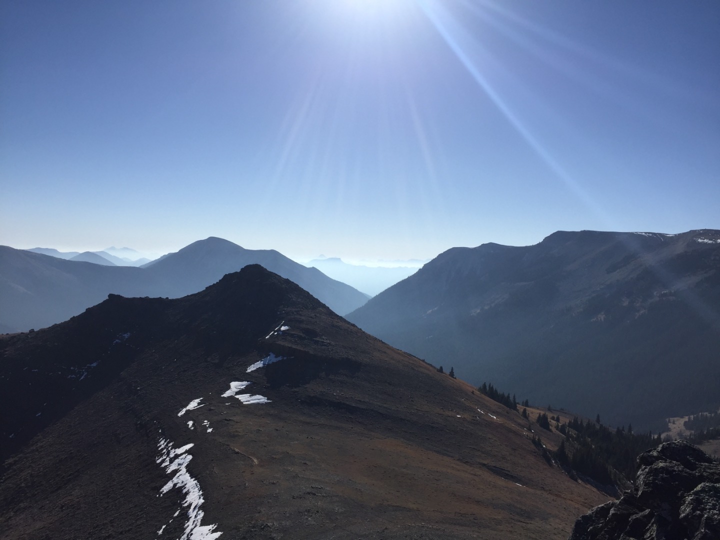
We layered up and steadily made our way up on surprisingly good slab that offered plenty of fun, easy scrambling all the way to the south outlier, where we suddenly emerged out of the clouds. The views were astounding!
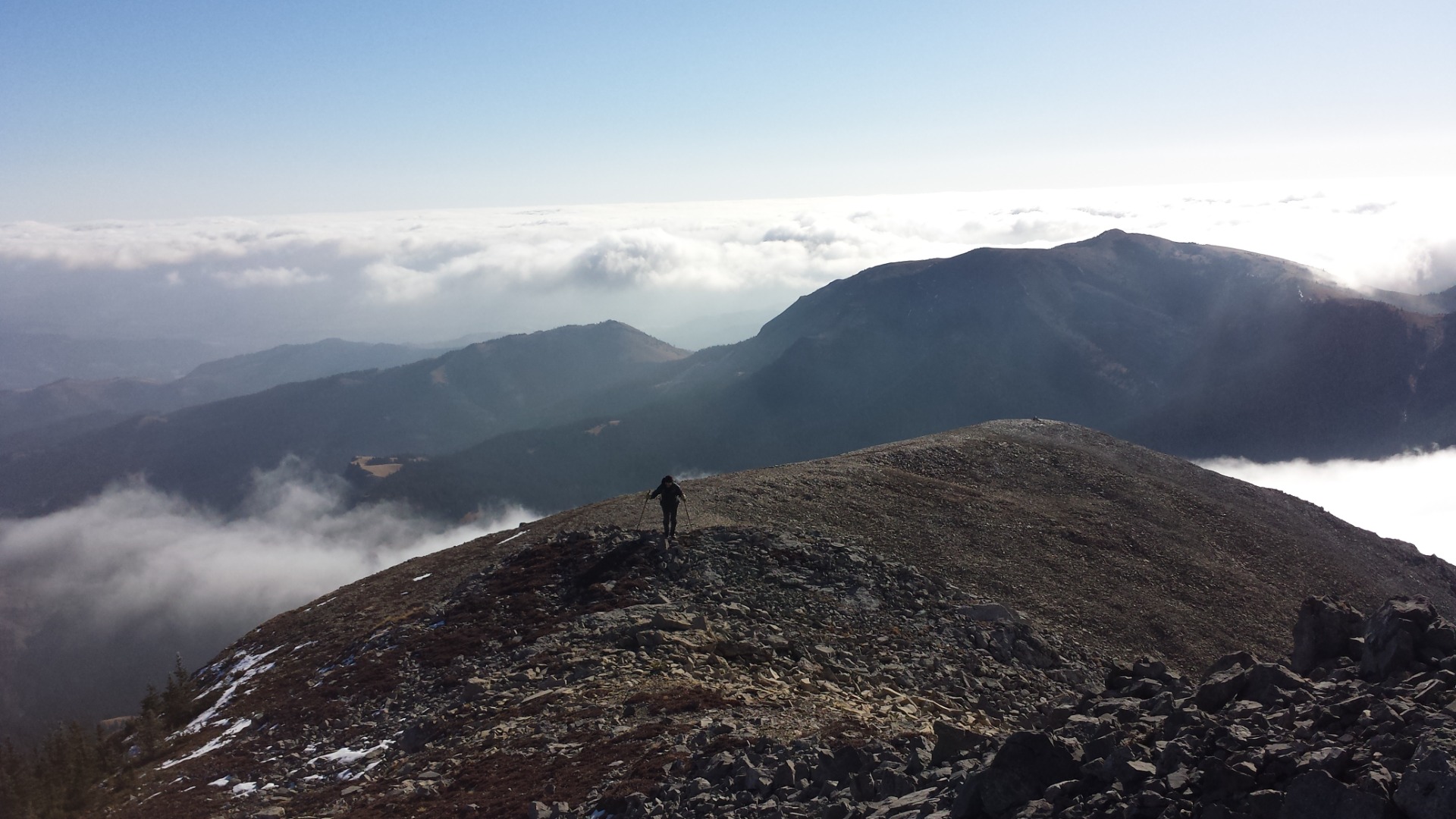
Brian approaching the south outlier (photo Alda)
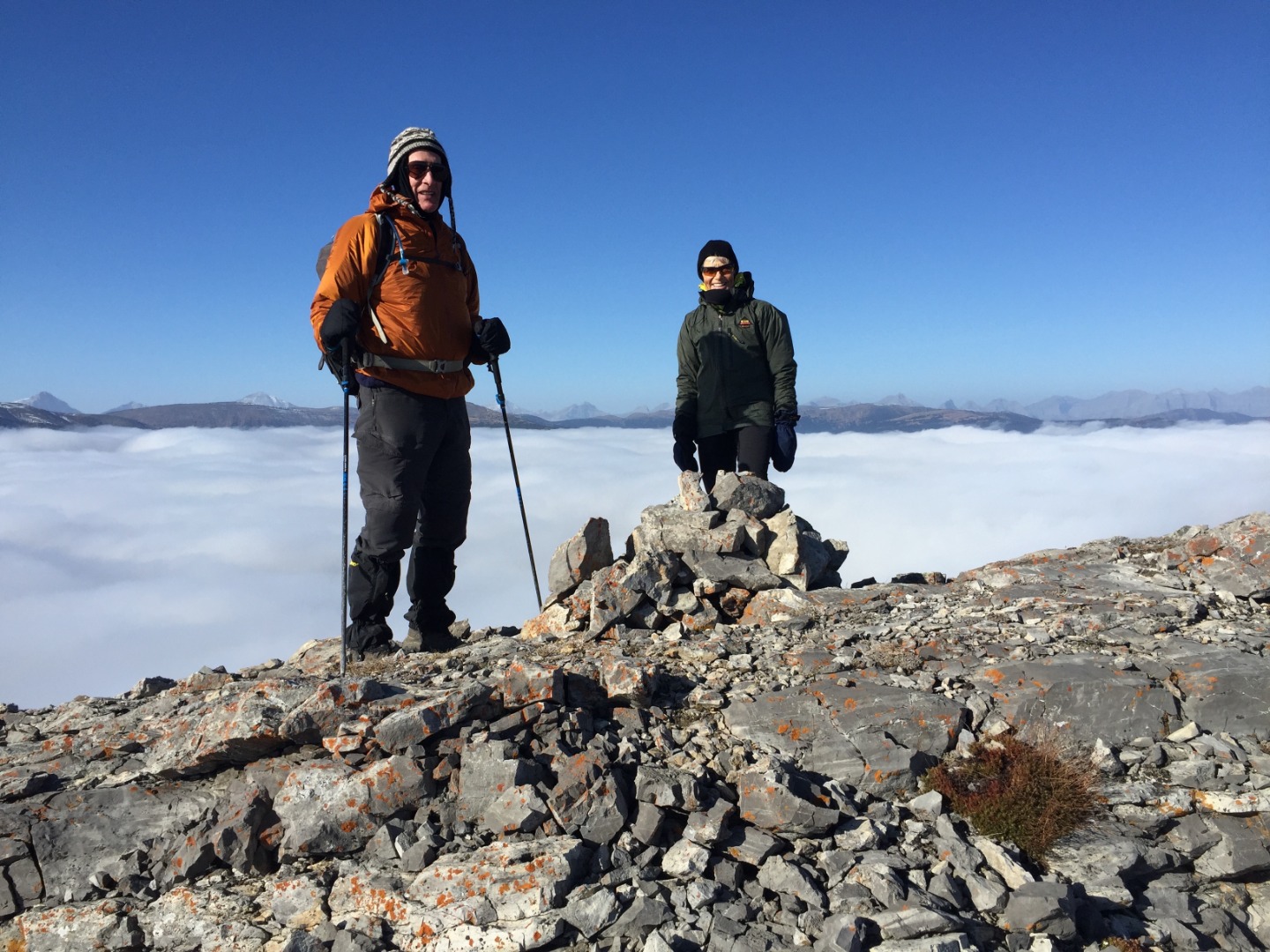
John and Alda above the clouds
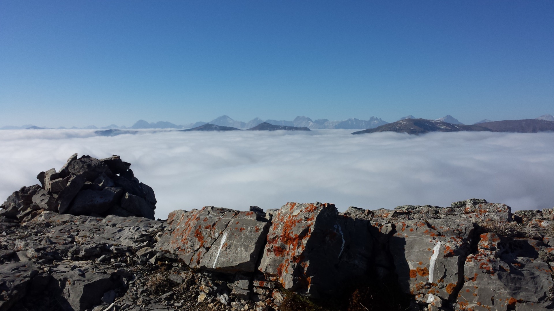
The view to the SW (photo Alda)
Just before noon, we found shelter on the leeward side of the south summit and stopped for a lunch break. 20 minutes later, as we resumed our short saunter to the summit, the wind amazingly subsided and the sea of cloud dissipated.
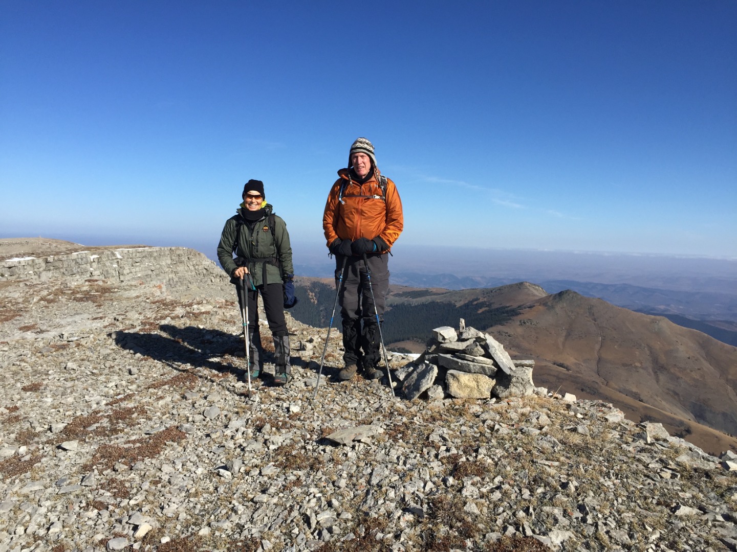
Understated cairn on the south summit; Saddle mountain in the distance
It’s a short walk to the north summit with its giant cairn, which seems to suggest that it is the “true” summit. However, my GPS shows it to be a few meters lower than the south summit.
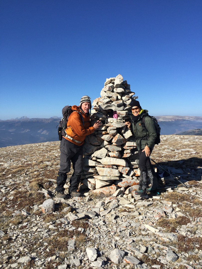
Giant cairn on the north summit
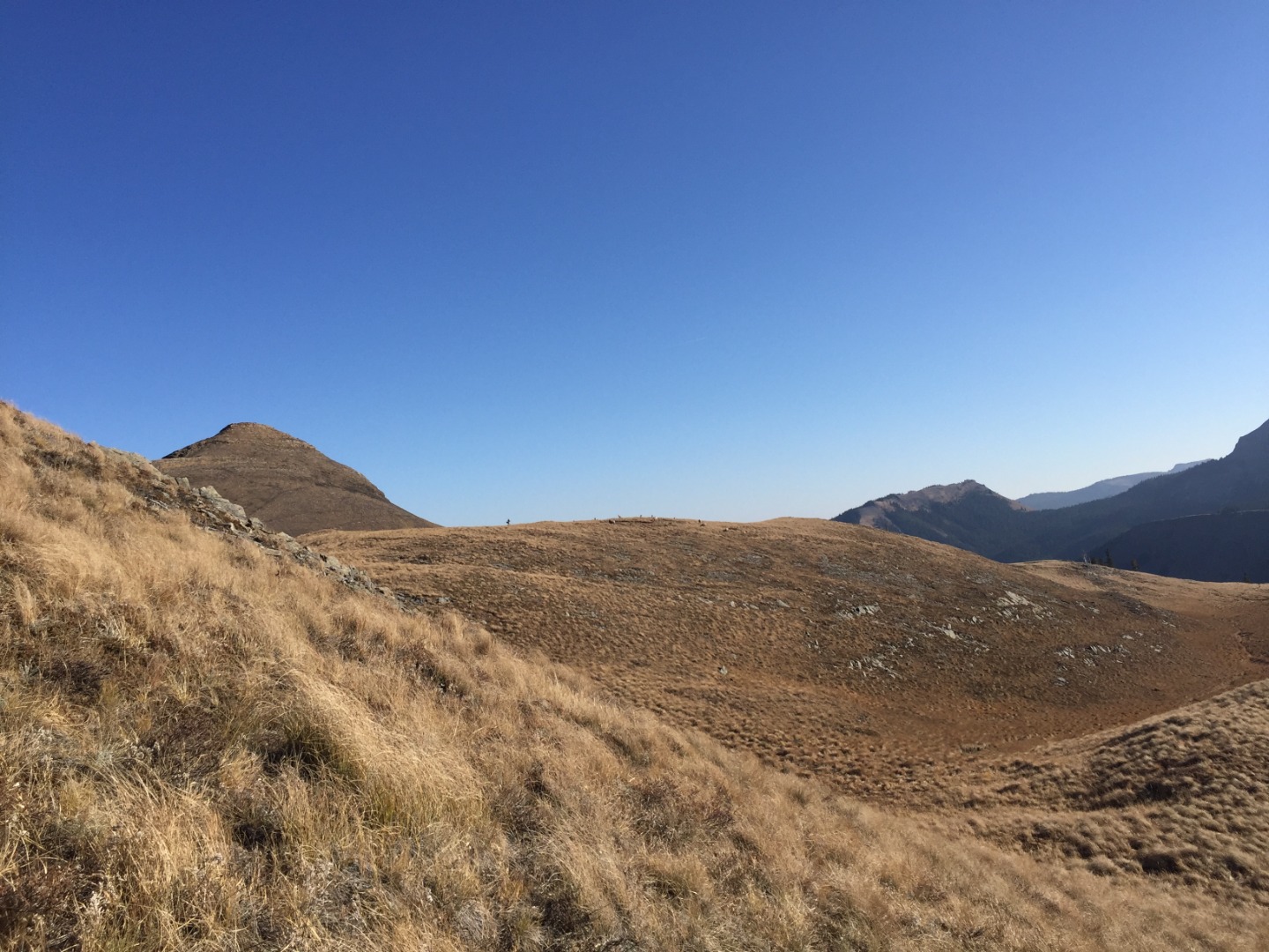
Because the weather had improved so dramatically, we decided to make a loop by visiting Saddle Mountain, which Alda had done in Spring some years as part of a 4-mountain loop (Windy, Hornecker, Livingstone, Saddle). So, we followed the ridge north a short ways then bushwhacked down through forest along a fence-line to the col, heading east. The short jaunt up to the south peak of Saddle was mostly on grass that gradually turned more rocky near the top. After enjoying the view and deciding our return route, we made our way over to the north peak.
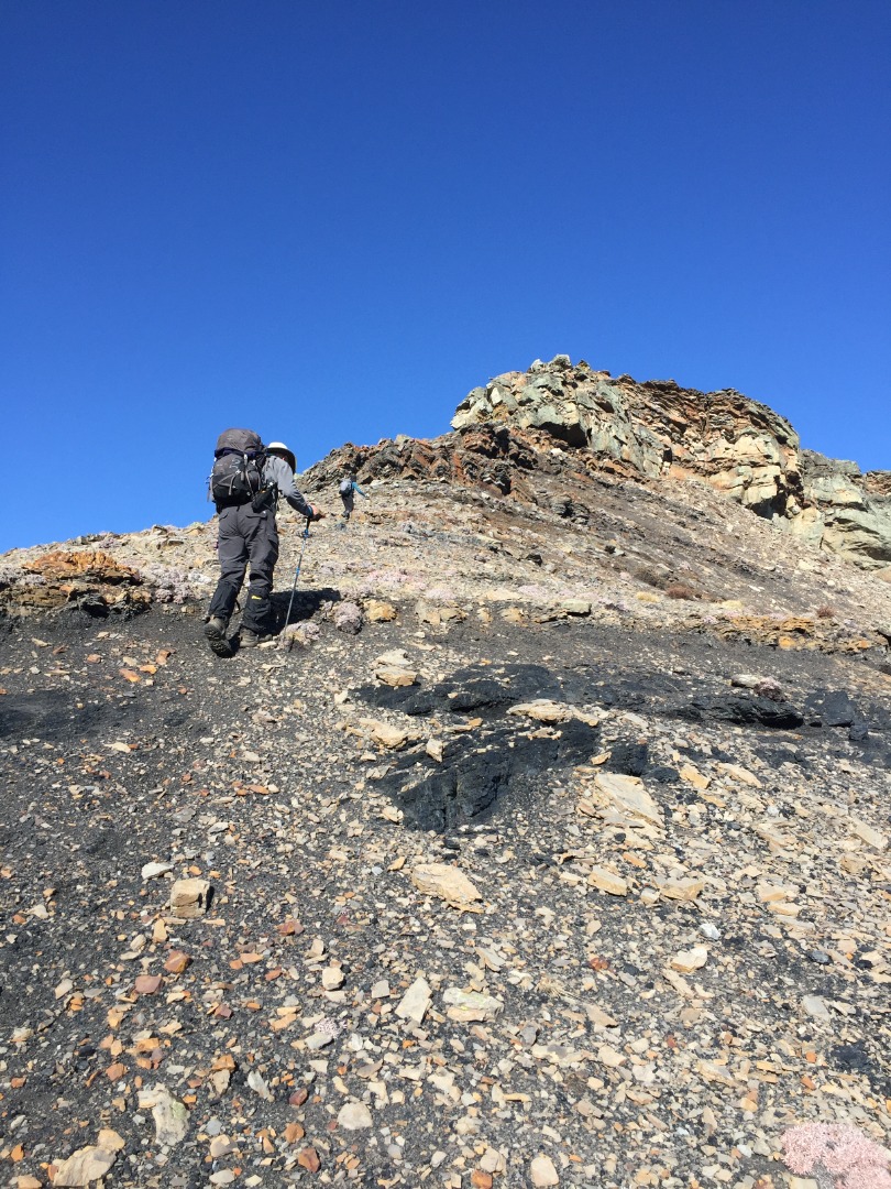
Approaching the north summit of Saddle mountain near a coal seam
It too had one of those familiar pink boxes, generously donated by a mountain man who gets around and spends no small amount of money supplying what some would regard as the necessities of life.
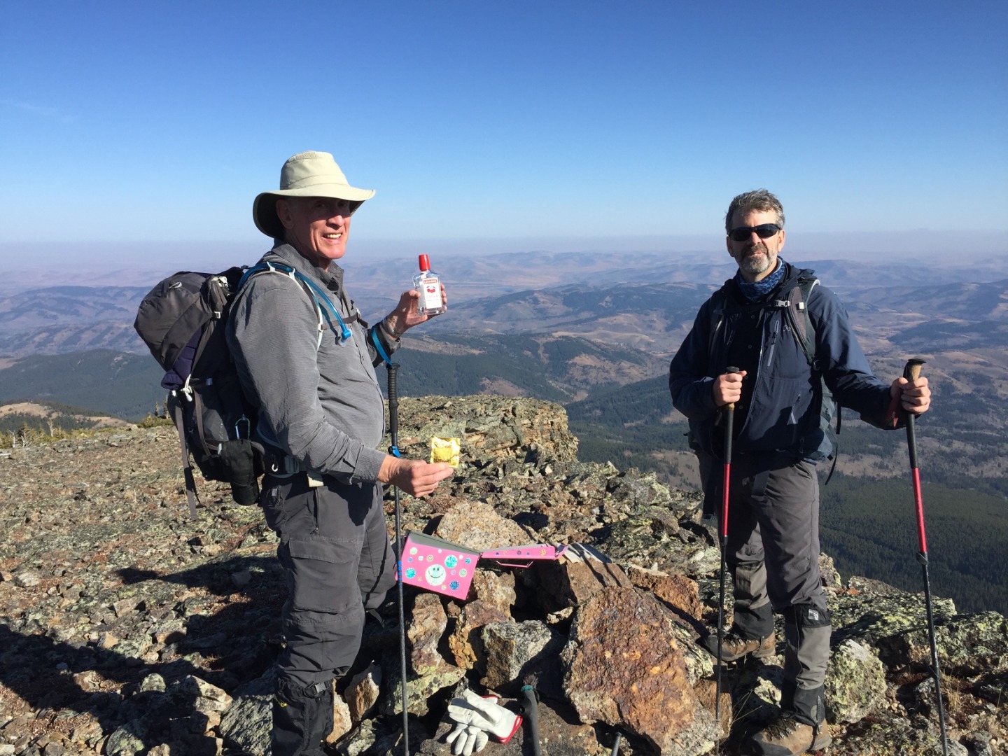
John considering his options at the north summit of Saddle mountain
View to the south from north summit with Coffin behind, Livingstone to the right
We decided to bypass the south summit by side-hilling to the east and following the grassy ridge south. On the way, we spotted some wildlife.
3 Bighorn Sheep below us on the middle ridge
More Bighorn Sheep on the hillside to the east
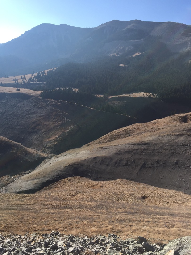
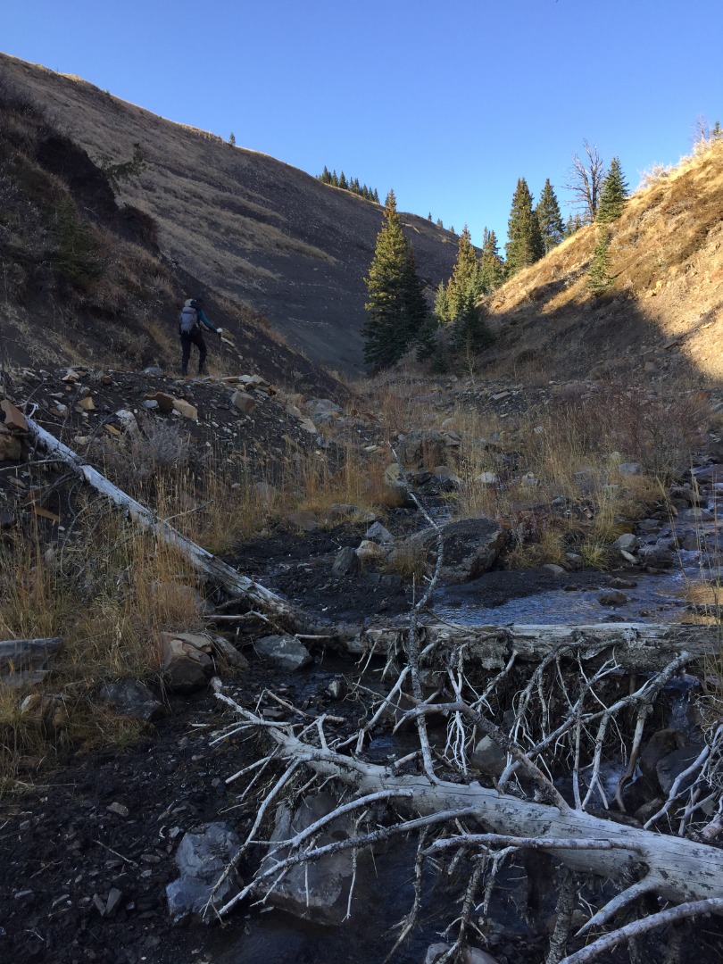
We aimed for the confluence between 2 deeply-incised creeks, where deep forest instantly overtakes the mellow grassland. Unfortunately, the steep drop and log-clogged creek was anything but inviting, so we found a game trail heading north and gently down to the first creek. We easily crossed it and made our way up the west bank.
The drop down to the creek and back up again
As the land flattens out, we could see we would have to drop down again to cross the second creek. It was unpleasant to head back up the other side in thick, mossy bush, but the grunt was over quickly. Where the land flattens out again, we soon found a good trail that brought us all the way to the road between Livingstone and Coffin. As we passed by, we could see our route up, but this time under clear skies and warm weather.
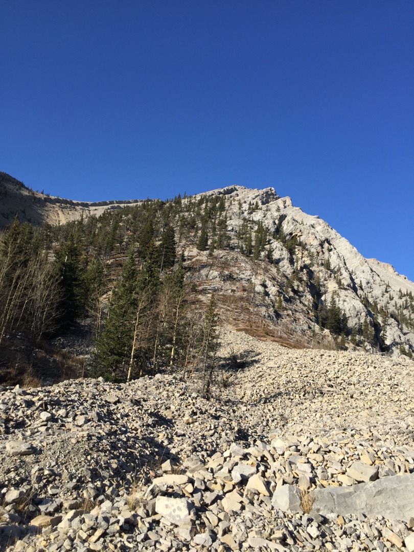
Our scramble ridge
The walk back to the car was pleasant and easy.
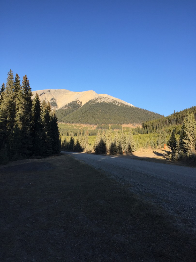
Mount Livingstone at the end of the day
Many thanks to Alda and John for their willingness to explore this beautiful country and the enjoyable scrambling options en route.
Brian, Coordinator.
Trip stats: 16 km in 7:45 with 1,150 total elevation
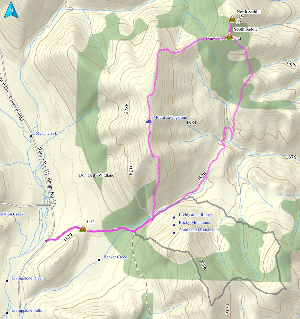
Our clockwise route
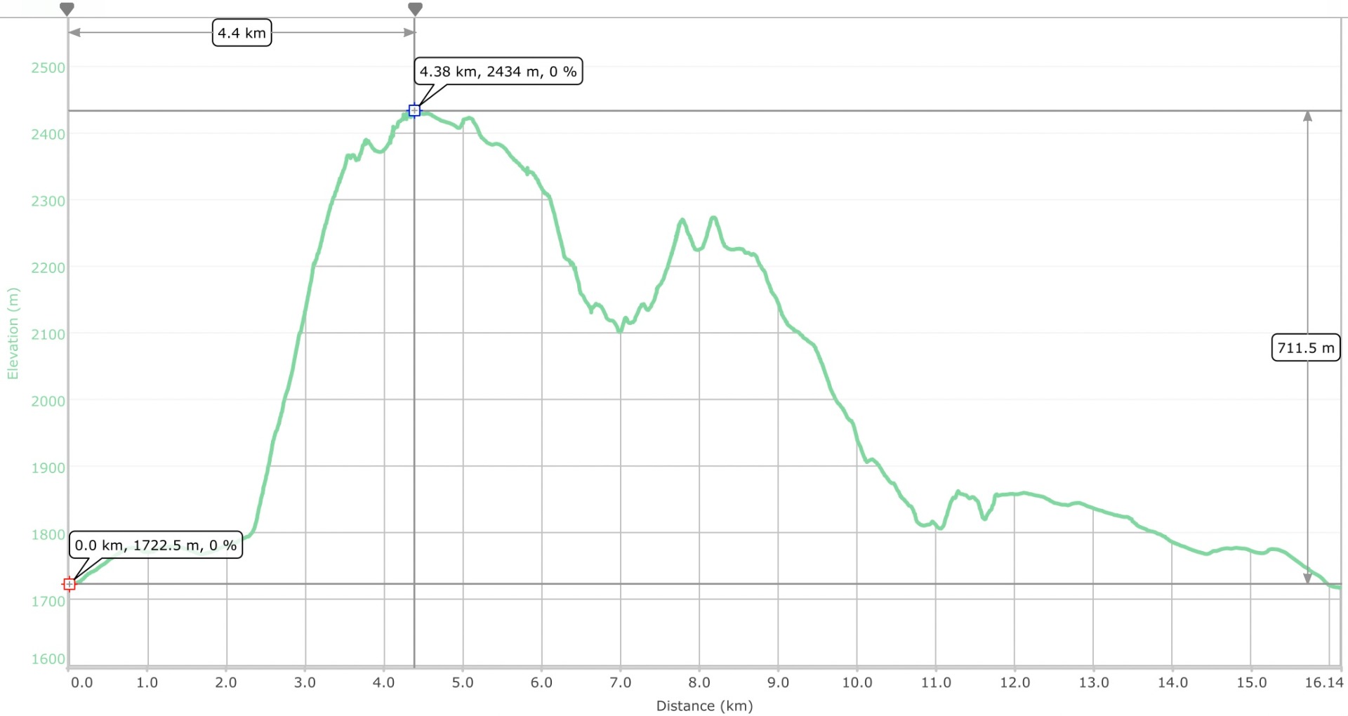
Elevation plot