It was difficult to find information on Peak 357404 (3) however, we followed the description in Daffern's book Vol 41 Ed 4 page 118. This was the peak that Jim and I had seen while climbing Old Baldy
Old Baldy Mountain
and it looked as if it was a grassy slope all the way to the summit. Also, Daffern warns to "expect steep grass and "some scree". Well, well. Six of us started from the Evan Thomas parking Lot at -1 degrees and hiked along the road for 2 km before turning up the trail along McDougall Creek. We then branched off from the Old Baldy Trail after about another 2 km and hiked along the side of the creek. A Rambler's report on this peak suggested that the trail petered out and it was necessary to cross the creek and, at times, hike along the creek bed until you emerged from the trees. When we finally emerged from the creek bed and stood at the base of peak 357404(3) we were faced with a challenging boulder field that was covered in snow. Hiking up the boulder field was not an off trail trip but rather became a scramble 5. We picked out way carefully and slowly up the slope wondering, all the time, what happened to the grass? Three of the group decided to wait at the col. (It had warmed up very nicely and the scenery was spectacular).
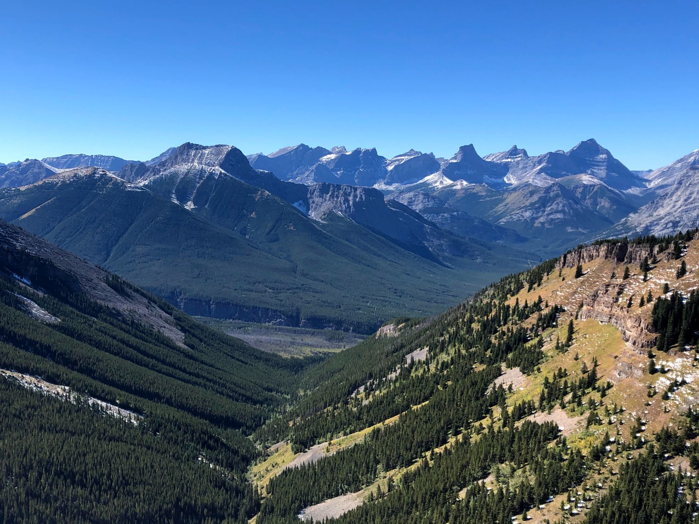
View from ridge top of Peak GR357403
Three of us humped up the boulder field which finally gave out to a more gently snow covered slope. (Was there grass underneath?) A short steep climb and we were on top of Peak 357404(3) and had incredible views.
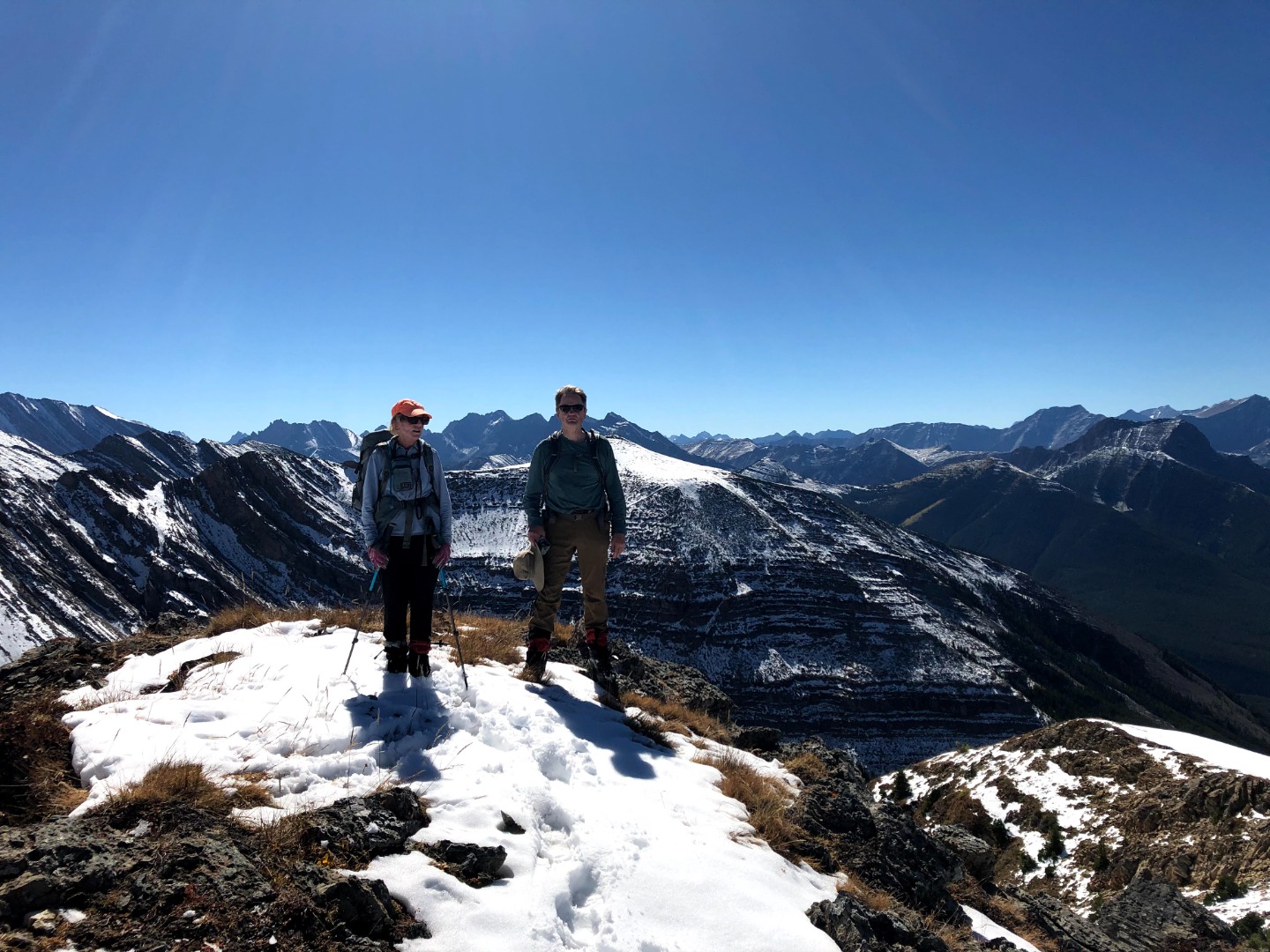
Christine and Jim are a top of Peak GR35704 East of Old Baldy
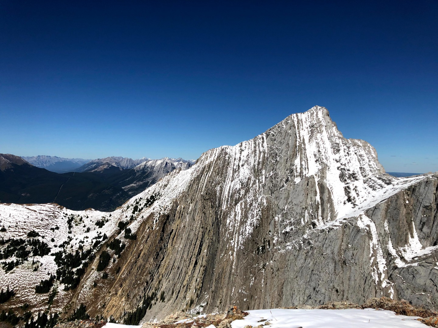
Old Baldy Mountain from ridge top of Peak GR357403
After having a snack, we down climbed slowly and joined the others.
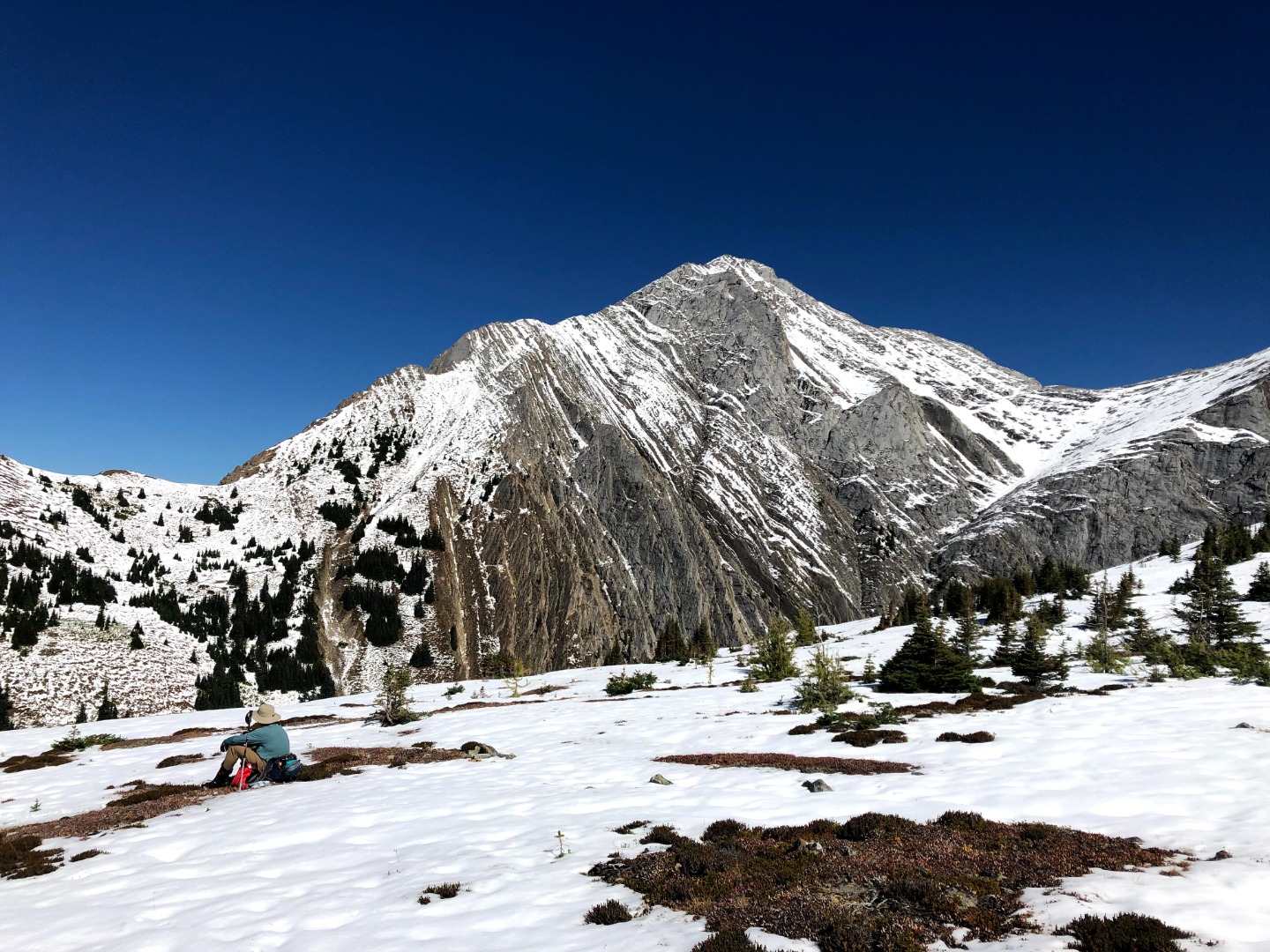
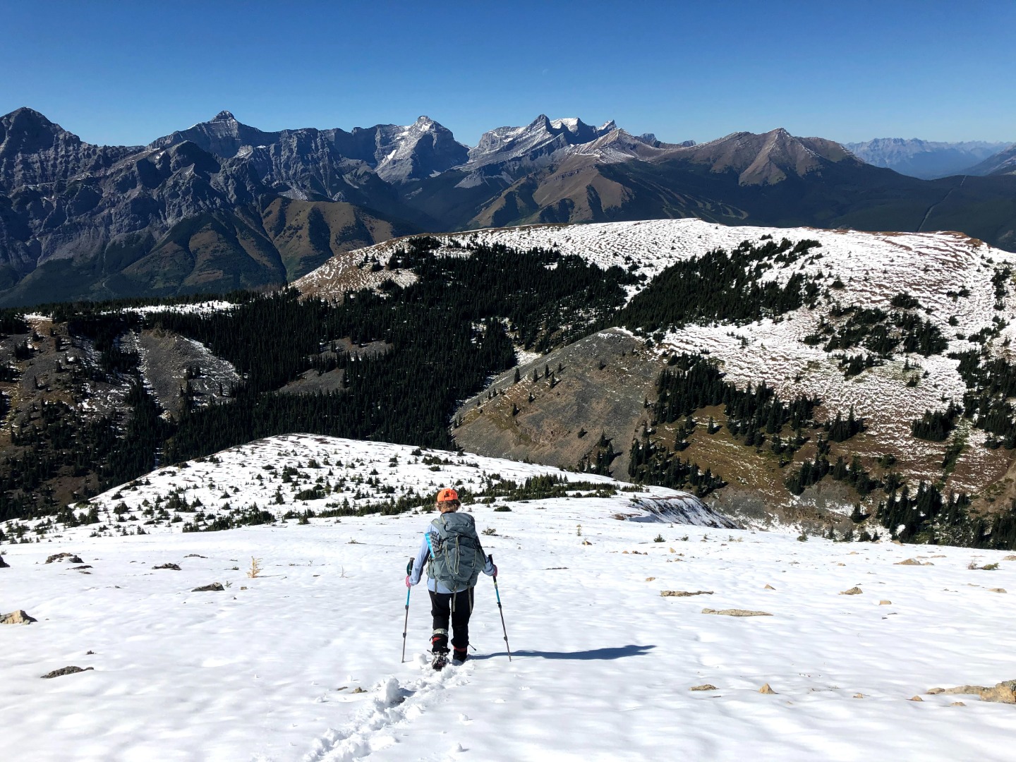
Christine descending from the top of Peak GR357403
We decided to retrace our tracks and wonder of wonders, we were on a well defined trail that took us back to the cars. We located the area where we had veered off the path and built two cairns and placed logs along the trail that led into the creek; hopefully indicated to others that they should stay on the higher trail. Thanks to Suzy, Jo, Yoko, Jim and Janice for their sense of adventure and willingness to share in a new route. Special thanks to Clifton as an advisor and to Yoko for her photographs.
Trip Details: Start time: 8:39 Finish 6:00 pm Suggest this is a scramble 5.
Distance 14.6 km
Elevation Gain: 1097 m Christine