Threepoint Mtn Scramble on 5-Sep-2020
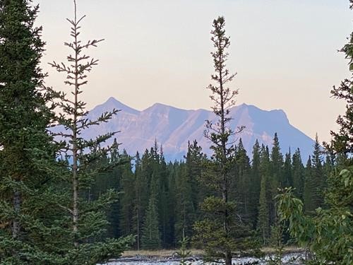
It appeared slightly smoky today on the drive to Little Elbow, but was not too bad on arrival. From the parking lot, Threepoint Mtn. is clearly visible to the south, standing all by itself.
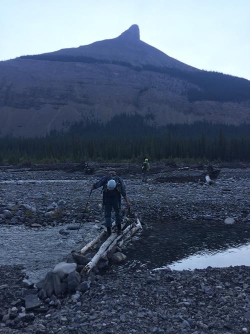
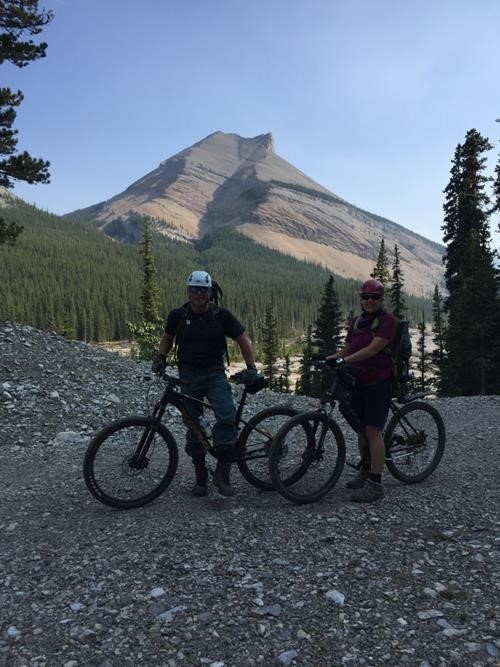
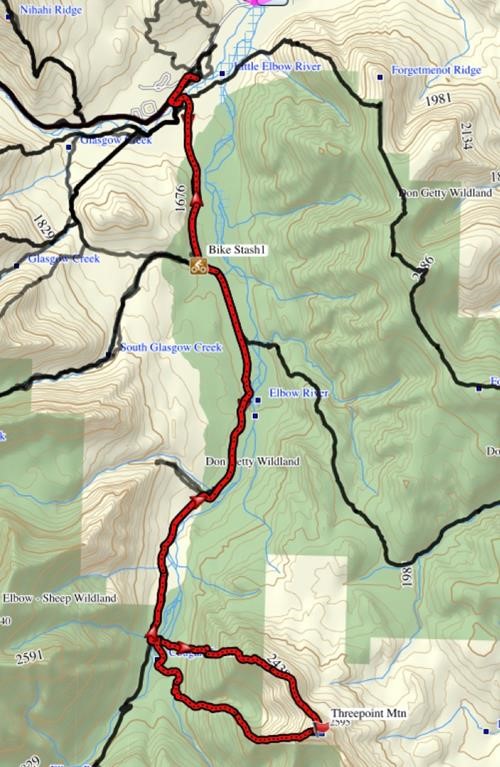
We biked the Big Elbow trail for ~10 km to just past the campground, then ditched our bikes and proceeded to cross the river, first on logs, then in calf-deep water.
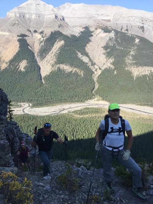
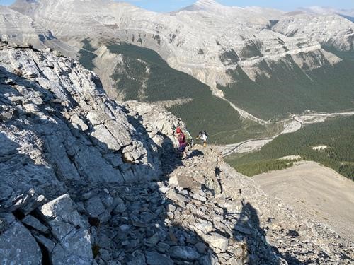
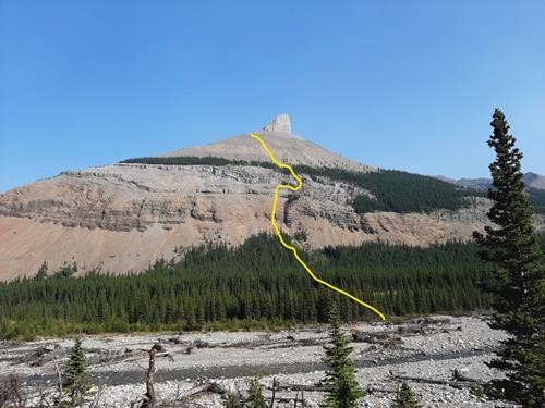
Now on the east side, we bushwhacked up towards a rockband that appeared to be very steep from back at the road. It turned out to be manageable, but with much crumbly loose rock - the theme for the day. We carefully worked our way up through weaknesses in the cliffbands.
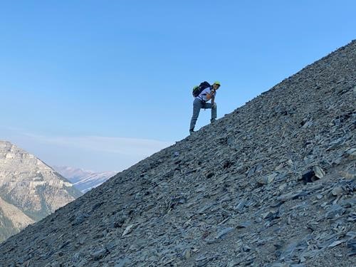
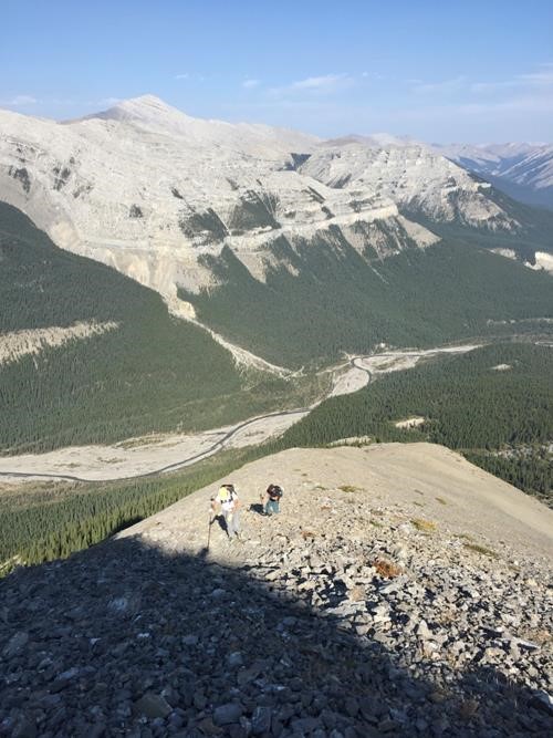
We continued past treeline, following a gully that eventually peters out and is replaced by some of the nastiest "2 steps up, 1 step back" scree for which you just have to dig deep and get through.
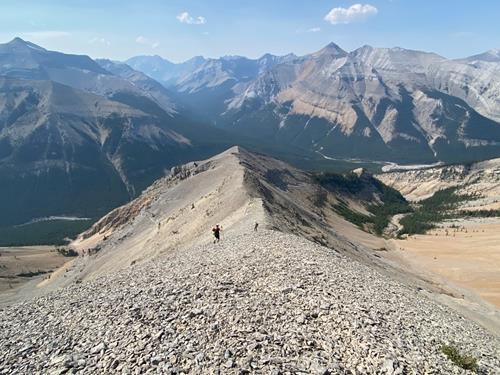
Angling towards the north ridge seemed to help as the going from over there was much easier.
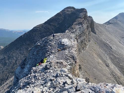
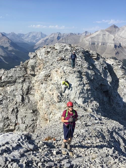
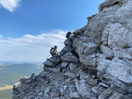
We regrouped at the rockband below the 1st point and got to enjoy some fun scrambling on slightly more solid rock.
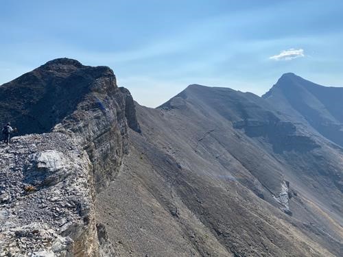
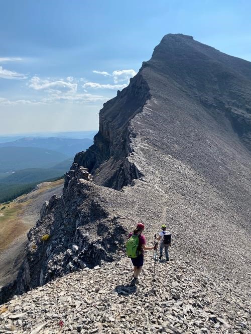
With a sheer dropoff on the south side, this portion of the ridge gets narrower in places and offers interesting downclimbing.
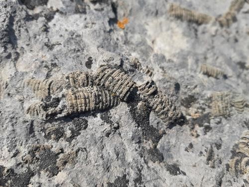
From the top of the 1st point it is mostly a walk to the 2nd point, but many kinds of interesting fossils can be found along the way.
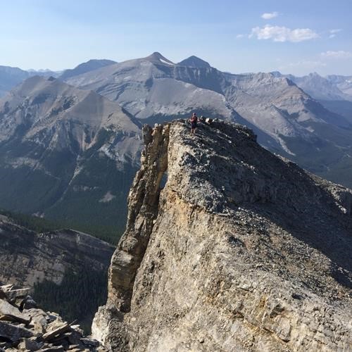
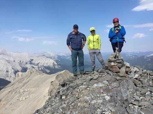
The south, or 3rd, point is the true summit and can look a bit intimidating until you get up close.
It too is a steep walk until just before the top, where rock bands are encountered.
We enjoyed a long lunch break at the summit, arriving just before 1 pm.
Just to our south was Rose Mtn, almost daring us to come over for a visit. However, unsure about how to negotiate a cliffband that Andrew Nugara describes as "impossible", we decided to proceed with our original plan and descend via Threepoint's west ridge.
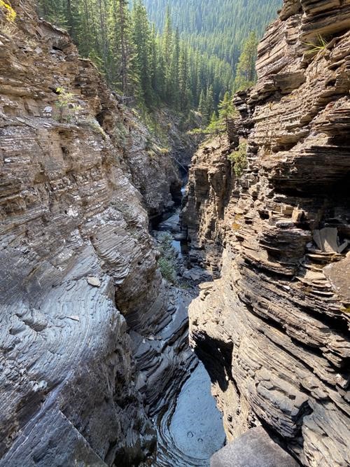
The ridge bends to the NW then, at treeline, turns west again. The bushwhacking was not too bad. When we finally dropped down into the drainage, we soon encountered a glorious but impassable canyon.
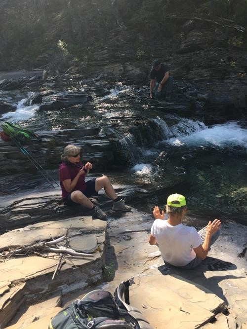
We crossed over to the north side of the canyon and continued our bushwhack down to a creek that eventually ends up flowing into the Elbow River. We enjoyed the cool refreshing water and one Rambler even took a private bath.
We followed the creek down and were soon back at our stashed river crossing shoes and subsequently back at our bikes.
The bike ride back was quick and fun.
Our trip of 29.5 km with 1,270 m total elevation gain, took us just under 10 hours to complete.
Many thanks to the intrepid explorers who made it such an enjoyable day: Jeannine,Teresa, and Simon.
Brian, Coordinator
