Iyarhe Ipan and Swany's Ridge Off-Trail hike on 4-Sep-2020
What the heck is Iyarhe Ipan? Well in the Stoney language it means Mountain Point. Why go there? Well from the east the hills across the river from the Elbow Falls Provincial Recreation Area doesn't really look like much.
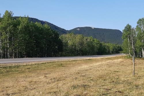
Swany's Ridge and Iyarhe Ipan from near Moose Mtn road (so what?)
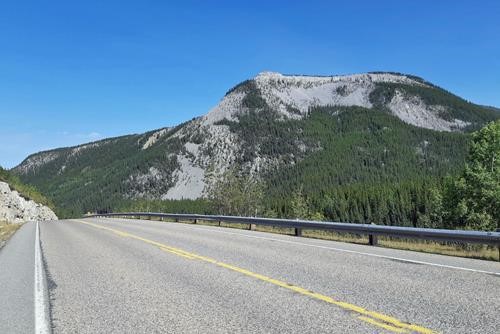
Iyarhe Ipan from the descent off Rainy Pass (our route basically the skyline from left to right)
So we started at the Beaver Lodge parking area at the bottom of the Prairie Mtn trail. The very first (and also last) order of the day was to cross the Elbow River.
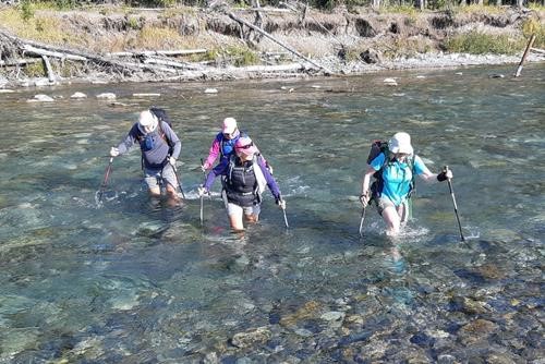
Refreshing start to the day crossing the Elbow River near Beaver Lodge
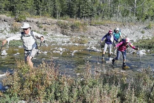
And then a surprise second crossing (rock hopable)
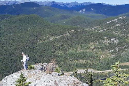
Sim looking down at Hwy 66 from the north end of Iyarhe Ipan
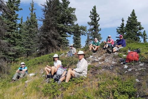
Lunch at the high point of Iyarhe Ipan
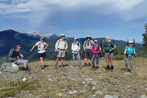
Janice, Rosanne, Philip, Sim, Jim, Yoko, Ivan and Jane on Swany's Ridge
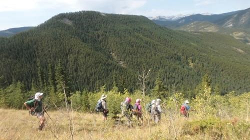
Descent off Swany's Ridge, the unexciting east face of Iyarhe Ipan in the background - photo from Philip
Roughly 8 km, 600 m elevation gain and 6 hours (at a modest pace with breaks).
Many thanks to participants: Rosanne,Philip,Sim,Jim,Ivan,Janice,Yoko,and Jane, for joining me,Carl (C/S).
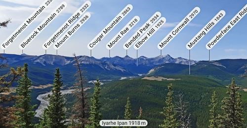
PeakFinder looking southwest from Iyarhe Ipan
PS: I drove to Cobble Flats parking area, but there were no Ramblers in sight. So I went for a hike by myself and eventually reached Quirk Ridge and Swany's Ridge.
Manfred