Morrowmount Scramble on 21-May-2017
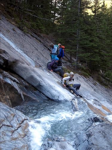
Jura Creek is in relatively good shape compared to many in the front ranges. A good, though intermittent, trail is present as far as the Loder Peak exit. The trail up the creek immediately climbs to bypass a canyon. Within half a kilometer, a smaller canyon requires a traverse along a rock ledge which requires exact footing and has a bit of exposure.
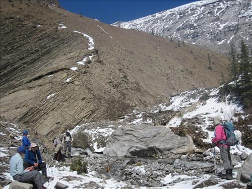
Further up, travel is rougher, with only smaller trail segments to be found and more frequent creek crossings. Once at the head of the valley, the route goes up an orange shale ridge. The shale can be loose but the footing can be improved by trending left into the outcrops. The ridge then leads to the final slopes.
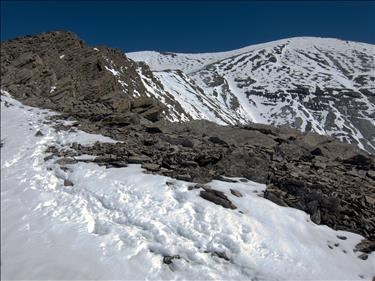
The snow was a big help as it provided steps on the shale plates.
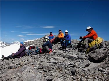
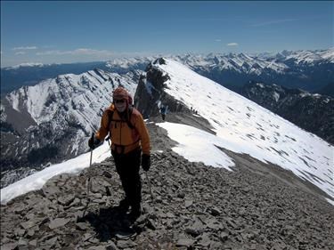
While we were quite warm on the way up, a cold breeze at the top had everyone putting on extra layers.
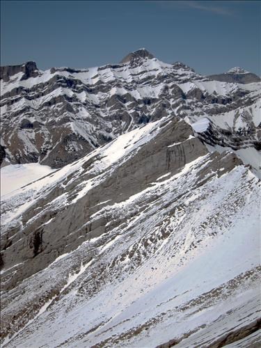
Views were had of the lesser known Townsend and South Ghost peaks (trips done in past years).
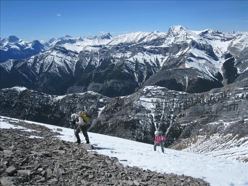
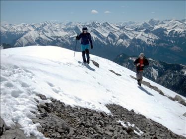
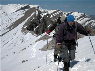
The north half of the McGillivray traverse (McGillivray, unnamed , Skogan) can be seen behind Uli and Arnold in this photo.
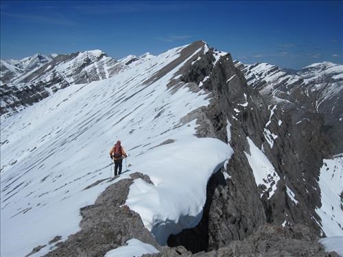
Looking north, the next point on the ridge looked like it might be higher, and also featured a summit cairn. This necessitated a traverse over to it. Once there, however, the first point looked to be the highest.
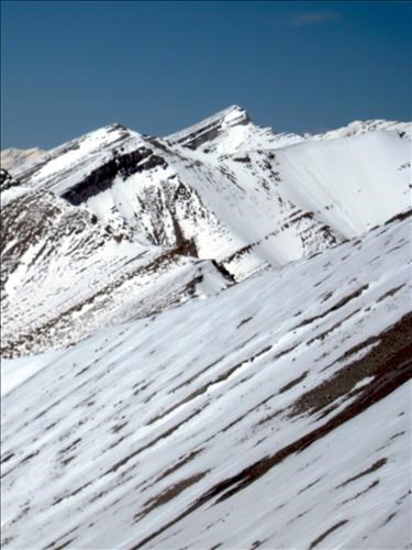
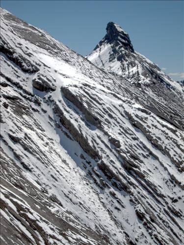
Hastle Castle was impressive from viewpoints along the ridge.
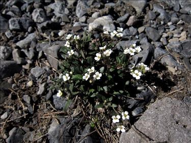
The alpine flowers were finally coming out with lots of Fairy Bells in the lower creek, and Dwarf Braya on the gravel flats.
Thanks to Arnold, Ulrike, Ross. David, Sim and John for joining me on this scramble. Bill.
Stats: a little over 11 hours, 21 km and 1300 m. of egain - including the traverse to the north peak.
