Missinglink Mtn loop up SE ridge, down East ridge Off-Trail hike on 1
It was quite windy at times, but we were all glad that we had persisted.
Four Ramblers didn’t see that the trip had been cancelled, presumably because of the threat of windy conditions. But we were already up, at RDLS, and “rarin’ to go”. We thought that we’d give it a try and bail if it really got too windy.
We drove to the Bighorn parking area and around 10 started up more or less following the route marked on the Open Source maps which is the SE ridge. It was quite windy and actually noisy from heavier winds blowing through the trees higher up.
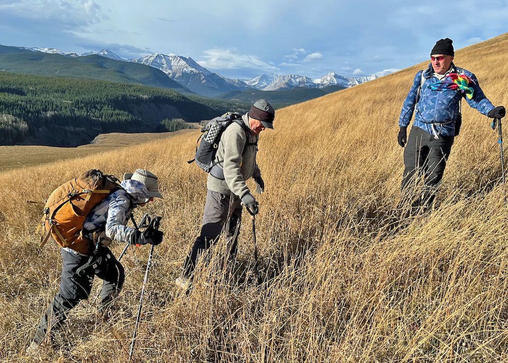
But with the temperature around 15 Cit really didn’t feel too bad. After a while we got to the ridge where there is a fairly well defined trail. And with a few brief stops we made it to the summit of Missinglink Mtn a little after 12.
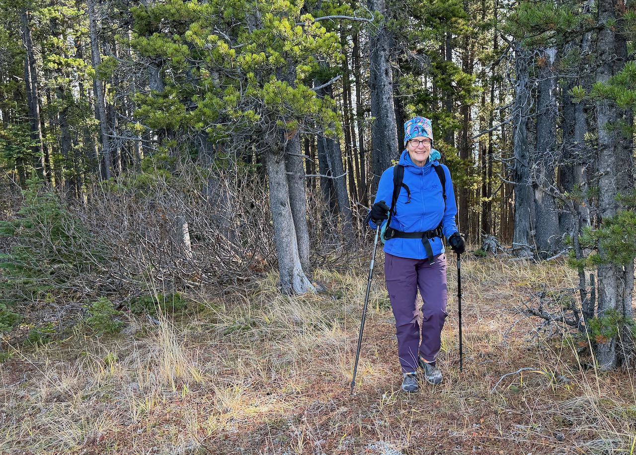
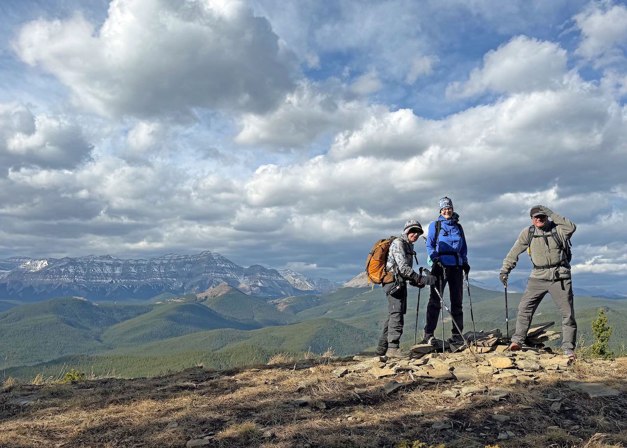
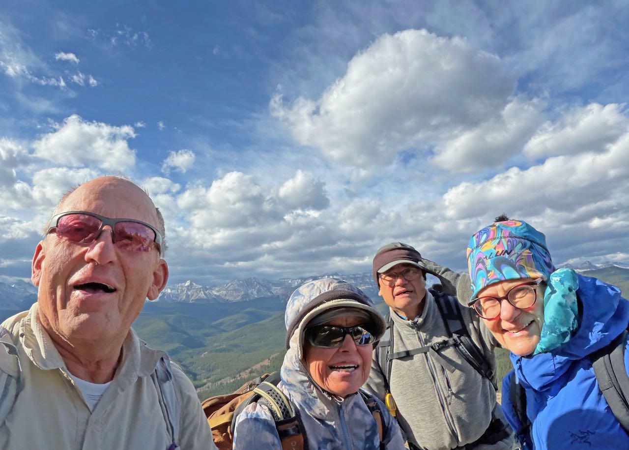
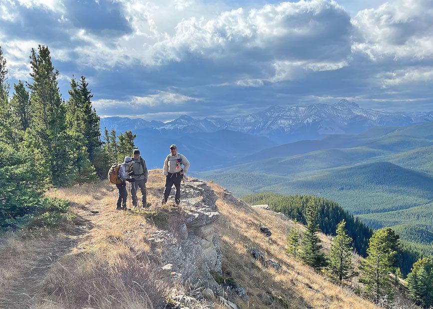
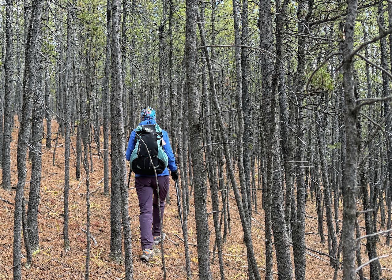
We did have to shelter from the wind for our lunch break. In the course of lunch we had some discussion on an East Ridge route (which is shown on the Open Source maps) and also about “Doghair Pine” that we hadn’t really experienced. So we decided to try returning that way which appeared to be not much longer. We did return that way, but did rely heavily on the track on our GPS (and a bit on occasional flagging. We did find this colourful trail marker!
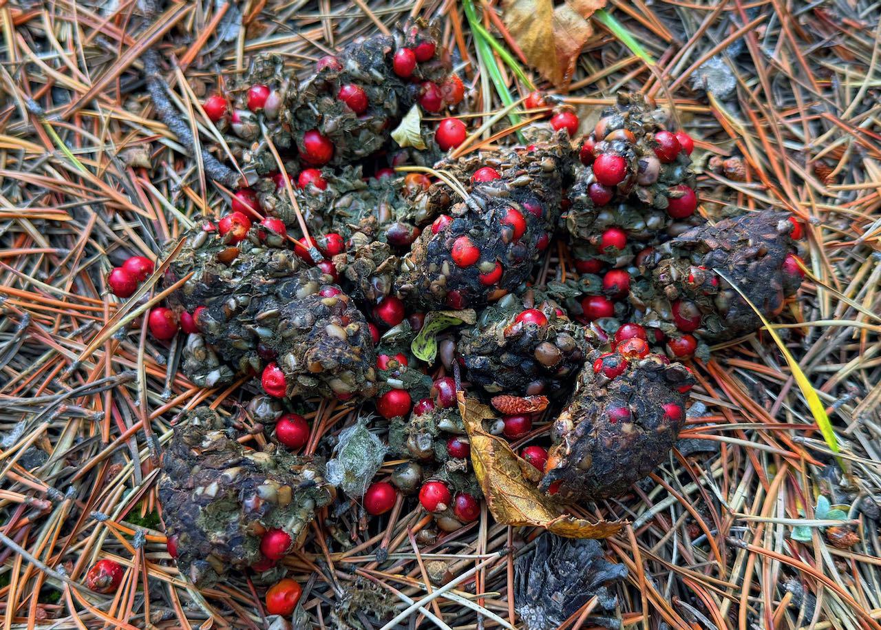
and quite a bit of dog hair pine.
We finished around 3:30. 12 km, 400m ascent, 5 1/2 hours.
Participants: Carl (C/S), Jeannette, Margaret and Ricardo