Mist Ridge south summit Off-Trail hike on 28-Aug-2026
Unfortunately two in the group went to the wrong parking lot so our group started without them. We had a very enjoyable hike even with increasingly smoky conditions. To complete a partial loop we descended the sw ridge to its very end and then steeply down the west side to pick up the mist creek trail. This involves some bushwhacking that might not be to everyone's liking. Back at the cars at 4:30. Trip stats as per Carl's gps : distance 15.5 km . Cumulative elevation gain 775 m.
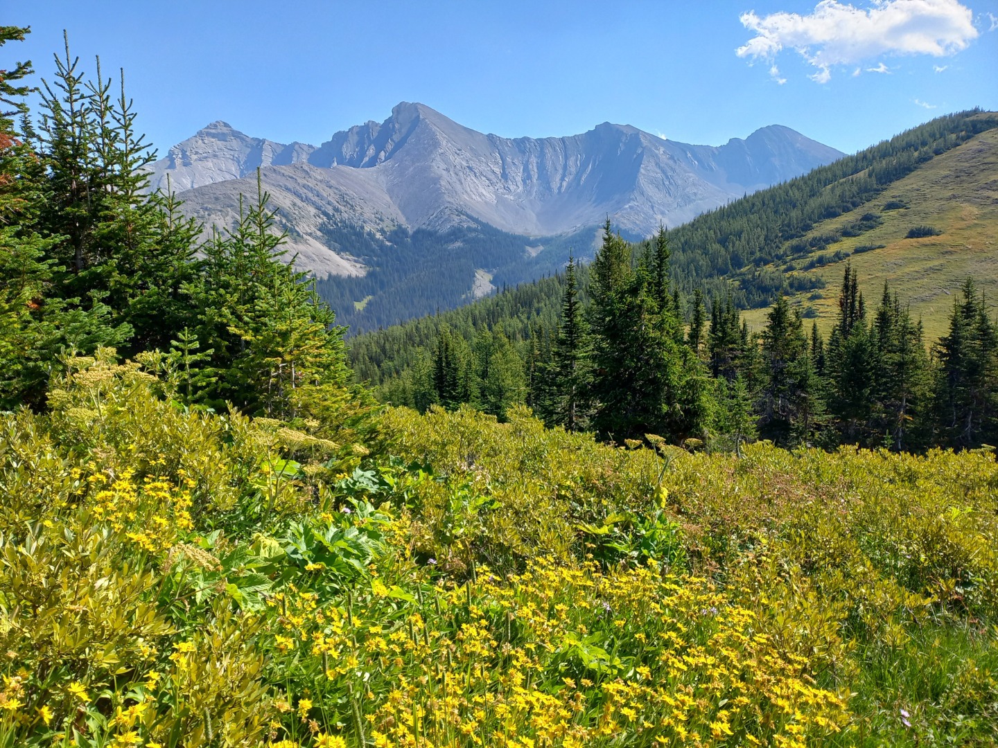
Clear views to the east
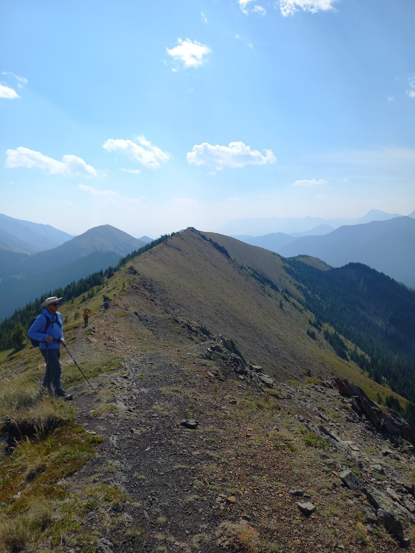
Smoky views to the south
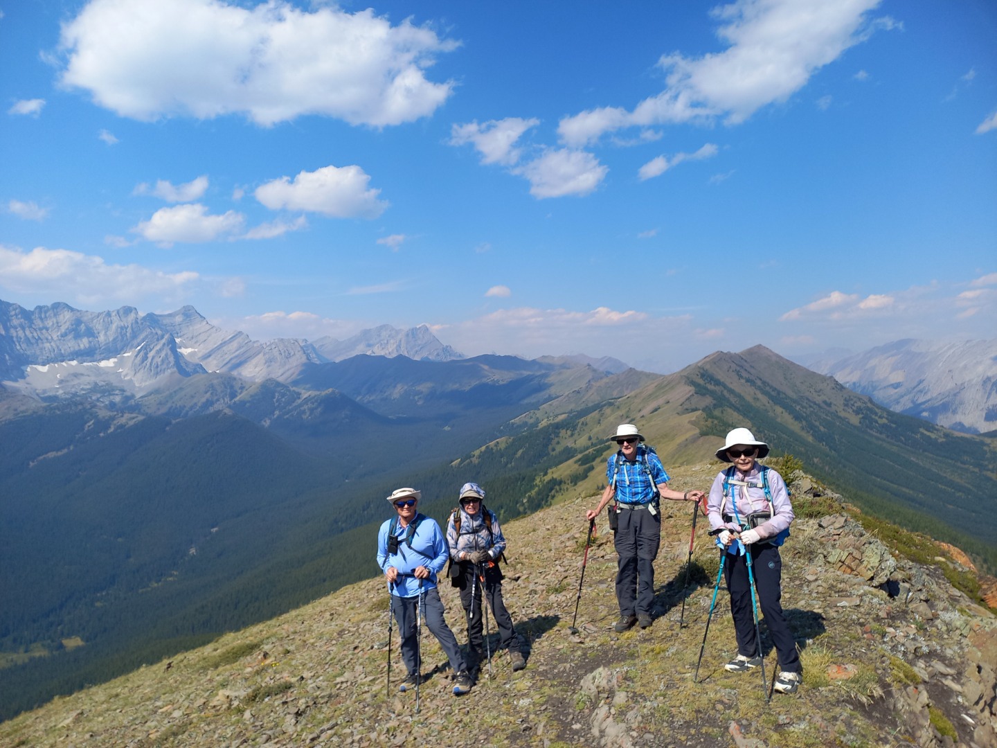
Part of the group on the south summit
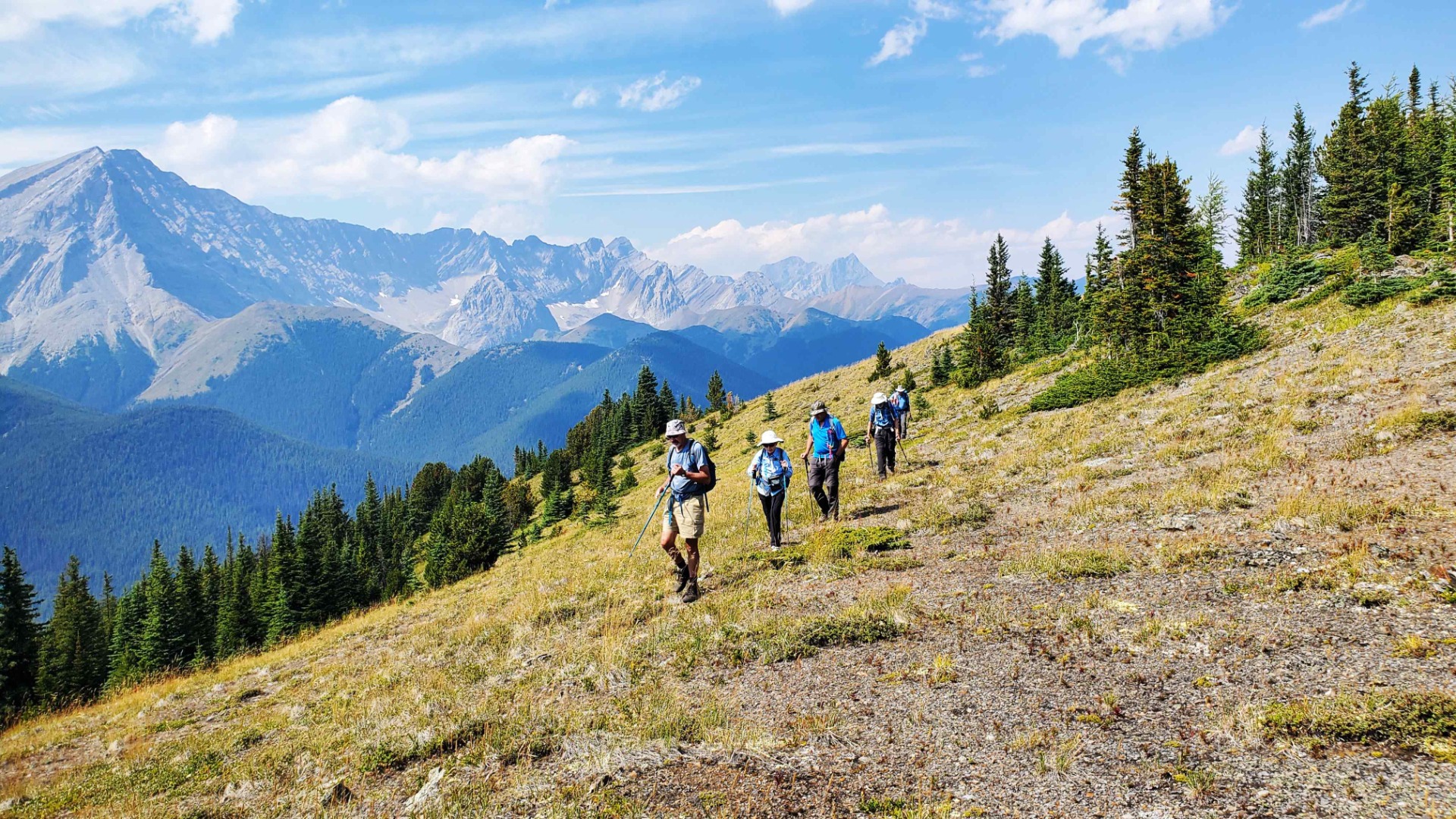
Coming down the ridge
Participants: Ron, Barbara, Francisco, Douglas, Carl, Jeannette, Patty, Jozef photo