Mt Niles from Wapta Lake PL Scramble on 27-Jul-2026
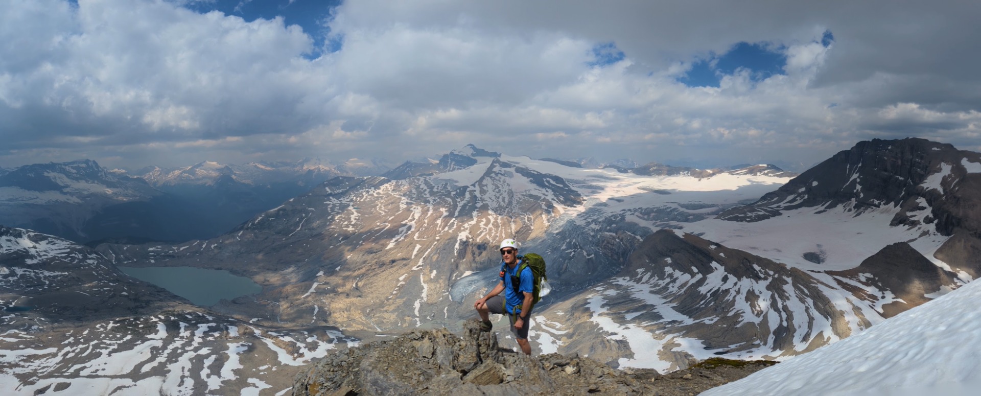
Mount Niles was a long and challenging scramble, but the summit views made it well worth the effort. Key stats: 24 km, 11.5 hrs, 1,564 m elevation gain.
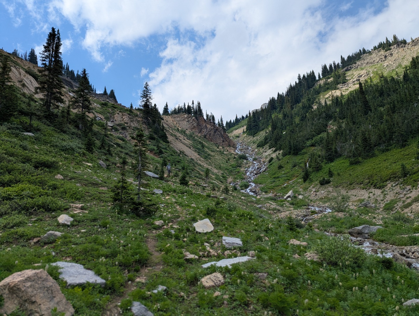
We departed the Sherbrooke Lake parking lot at 8:00 am. The trail past Sherbrooke Lake was flooded, littered with blowdown trees, and contained snow from an avalanche, making for slow going, tricky route-finding. We learned that it's best to stay on the right side of the river for both the approach and return, and keep to the left side of the falls when climbing.
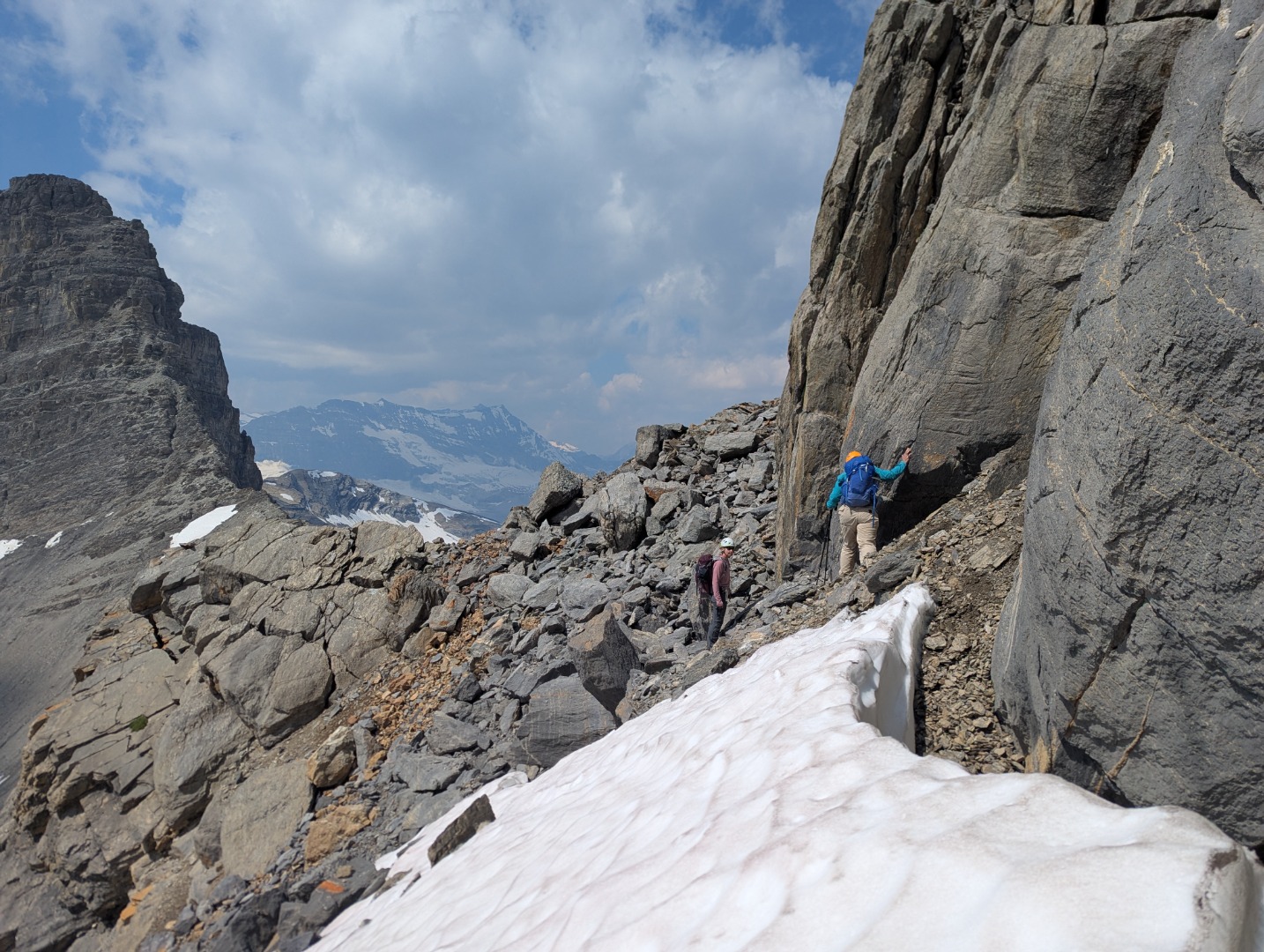
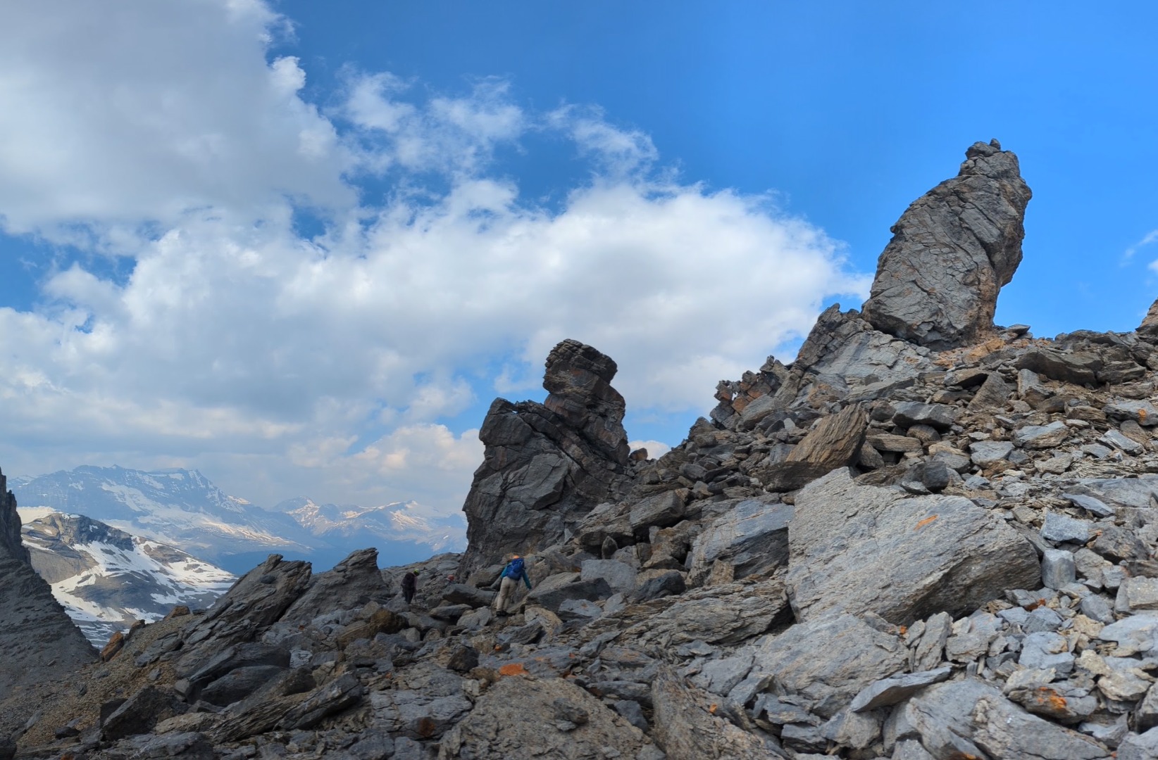
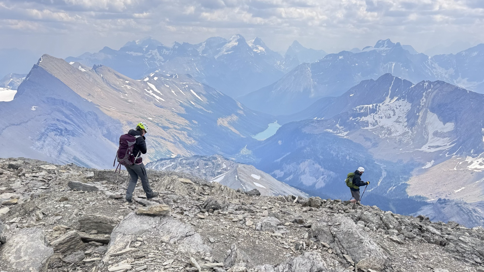
Beyond the waterfall, we passed two pinnacles and worked our way up steep scree sections using a variety of faint pathways. Armed with better route knowledge, our descent was much faster, bringing us back to the trailhead just after 7:00 pm.
It was the perfect group of people for such a challenging hike and we found the scramble to be very rewarding.
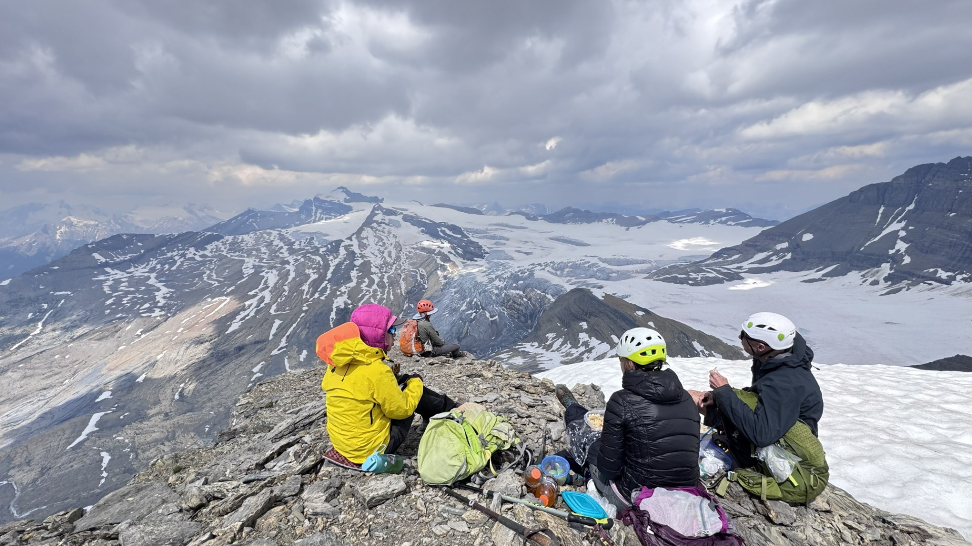
From the summit of Mount Niles, you can see these glaciers:
- Waputik Icefield: The main, massive ice cap dominating the northern horizon.
- Daly Glacier: The prominent ice flow feeding Takakkaw Falls.
- Niles Glacier: The immediate pocket of ice sitting right below the peak.
- Emerald Glacier: The distant ice sheet visible across the valley on the President Range.
Participants: Cordula, Gary, Evan, Tina, Linda