Cory Pass 925731 Trail hike on 26-Jul-2026
Participants: Leslie, Barb, David, Deborah, Judy, Bruce
For most of the week leading up to our planned Cory Pass hike, the Bow Valley had suffered from deteriorating air quality. This was primarily a result of the wildfires from B.C. as well as northern Alberta. There were high risk air advisories issued for Canmore and Banff as well as Kananaskis. The smoke drifted west to Calgary and on Friday, July 24th, the Air Quality Health Index for the city was rated at 10, which was the highest risk category. It was with some concern that I kept watching the weather and smoke reports for the Bow Valley, wondering if the Cory Pass hike should be cancelled. However, on Saturday, July 25th, several forecasts indicated that the smoke in the Banff area would clear on Sunday, so I decided to go ahead with the hike.
As I drove west on Sunday morning, there were patches of blue sky breaking up the dull gray haze, and the sky became noticeably clearer as I approached the trailhead. This was our first stroke of good luck. I was relieved that the hike was a go since Cory Pass is one of the most spectacular hikes in the Banff area. It wanders up to a high point between Mount Edith and Mount Cory, providing panoramic views of the valley below.
Our second stroke of good luck occurred at the beginning of the hike, when we discovered that the seasonal bridge over Fireside Creek had been put up. This bridge, sturdy but small, enabled us to cross the creek without having to wade or rock hop.
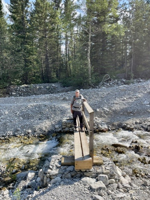
After crossing the creek, we hiked about a kilometer up the trail until we reached a junction. The Cory Pass loop can be done either clockwise or counterclockwise. Most people prefer the clockwise route, since it enables hikers to do the steepest part of the trail while they are fresh. Cory Pass is a strenuous hike: it is only 5.8 km to the pass but the elevation gain is about 915 m. Also, the clockwise direction is arguably the most scenic, providing great views of Mount Cory and the surrounding peaks along the way.
We continued plodding upwards through the aspen forest until we reached a viewpoint about 1.7 km up the trail. It was here that we encountered our third stroke of good luck: a cool wind was blowing in from the west, and it provided welcome relief in the hot, humid conditions.
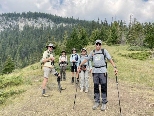
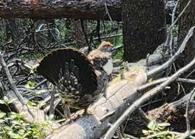
After the clearing, we continued through the forest, seeing a Spruce Grouse along the way. Eventually, we reached a ridge, which provided the first views of the spectacular valley leading up to Cory Pass. From this point on, the trail traverses along the side of the valley at a fairly moderate grade.
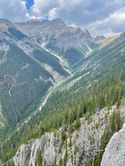
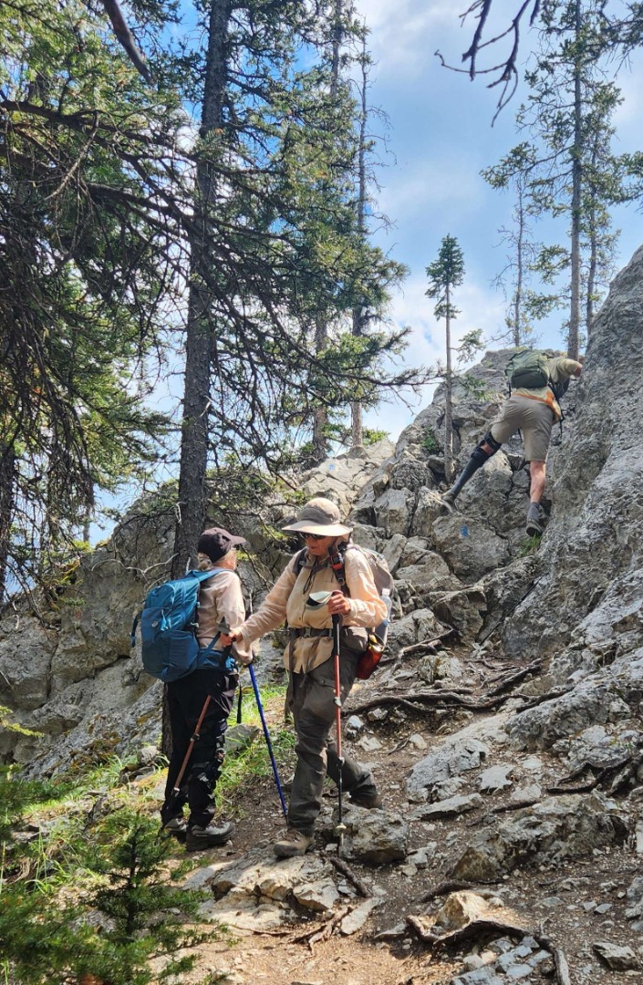
About 2.5 km along the way, a cliff band intersects the route, providing a brief opportunity for some easy, hands-on scrambling.
We continued hiking along the southwest slope of Mount Edith, enjoying the views of Cory Pass in the distance, flanked by the magnificent rock walls of Mount Cory. When we reached the pass, we took a well-deserved break for lunch.
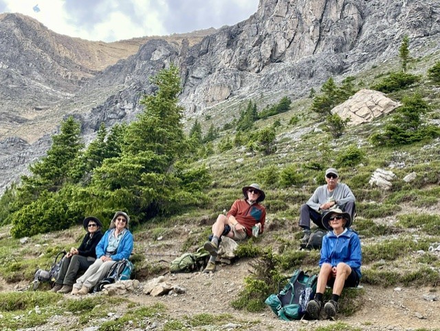
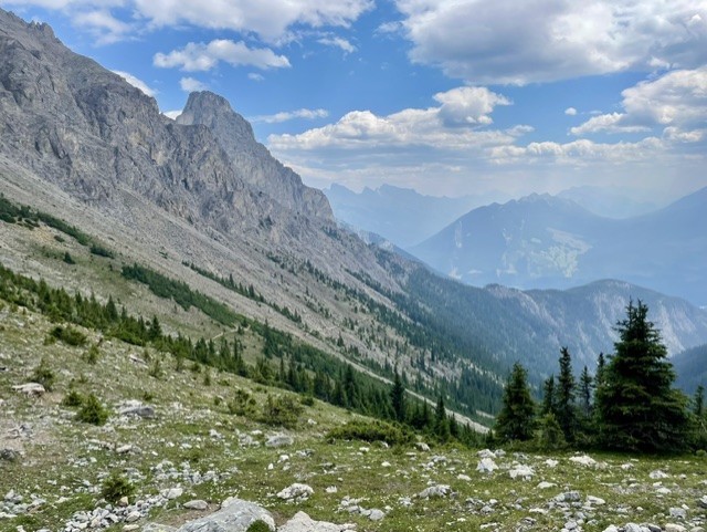
At the pass, we discussed whether we would return the way we came, or make a loop through Gargoyle Valley (named for the odd, eroded rock formations) and then the forested slopes of Mount Edith. While the out-and-back hike is about 11.6 km long, the loop is about 13 km. However, doing the loop would allow us to descend into Gargoyle Valley and see the magnificent rock walls of Mount Louis. We decided to make the loop, as some of our members had never done this hike before and wanted to explore new areas.
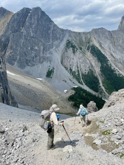
Leaving Cory Pass, we dropped down into the valley, using a well-worn trail through the scree. The views were spectacular, with the towering cliffs of Mount Louis dominating the landscape. At the bottom of the scree, we encountered a boulder field, with a myriad of paths. Some veered off to the left while others meandered down the middle and yet others angled to the right. The best route is to the right, as these paths meet up with the main trail, which traverses the lower slopes of Mount Edith.
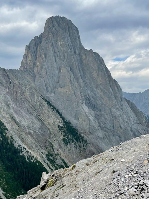
After hiking along the main trail for a short while, we encountered an unmarked junction. The trail to the left (east) goes down the valley into Forty Mile Creek. We took the right-hand path, which angles upward into the forest, and is marked by a bright yellow sign with a hiker on it.
We made our way through fairly dense forest for a short while and then the views opened up, with the slopes of Mount Norquay prominent to the east.
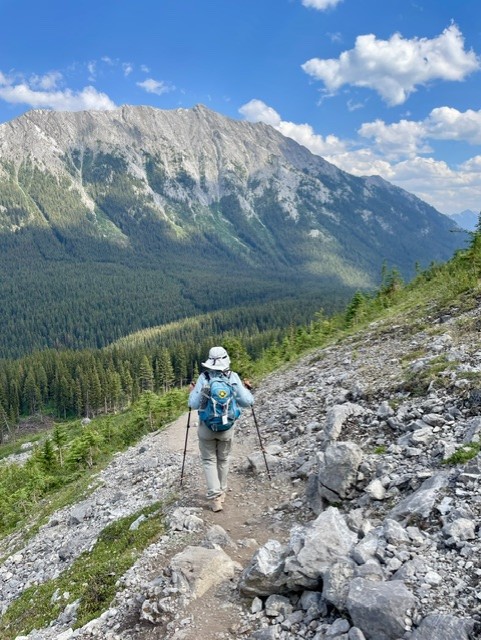
Although some people think that a forest walk is somewhat boring, I thoroughly enjoyed it. The forest was lush and the trail was easy on the feet, especially after negotiating scree and boulder fields. A small creek emerged along the way, surrounded by abundant ferns. After some time, we found ourselves at the junction where we had started--completing our loop of Cory Pass.
Many thanks to Dave, Bruce, Barb, Deb, and Judy for joining me (Leslie c/s) on this hike, and thanks also to Barb for providing some photographs.