Mt Aylmer - from Pass Scramble on 25-Jul-2026
Participants: Scott, Tatyana, Stephanie, Serena
Trip length: 28.9km, approximate start time: 5:45am, approximate end time: 5:30pm, elevation gain: 1924m
After some discussion on the smoke, many of the participants decided to give Mount Aylmer a go. The trail starts off along the Lake Minnewanka trail (note: from July 10 - September 15 a minimum of four individuals is required to hike the trail). Once at the turn off for the campgrounds, we stashed some water for the way back, as the forecasts were calling for very warm temperatures (and high winds).
At the junction for the Lookout and Pass trail, we took the trail to the Pass on climbers left, which took us through more trees, eventually leading to an open meadow. In the meadow, we followed the gully, but quickly went high on the grassy ridge as the gully was wet and we all agreed that hiking up it would likely result in a slip. However, pushing to climbers left meant that we needed to willow bash for a bit, which did not last long.
Once past the willows, the group slogged up the loose brown scree to get to the next high point. After a short break, the group continued on and the terrain changed from scree to large quartzite talus. Here the group chose climbers left, but the better choice is climbers right (and was used as the decent route). There was a small cairn marking the way on climbers right, but it camouflaged with the rest of the terrain and was missed.
Past the quartzite, we arrived at the ledges, which was the fun part of the trip. The group carefully made their way across the rubbly ledges, debating to stay high or low.
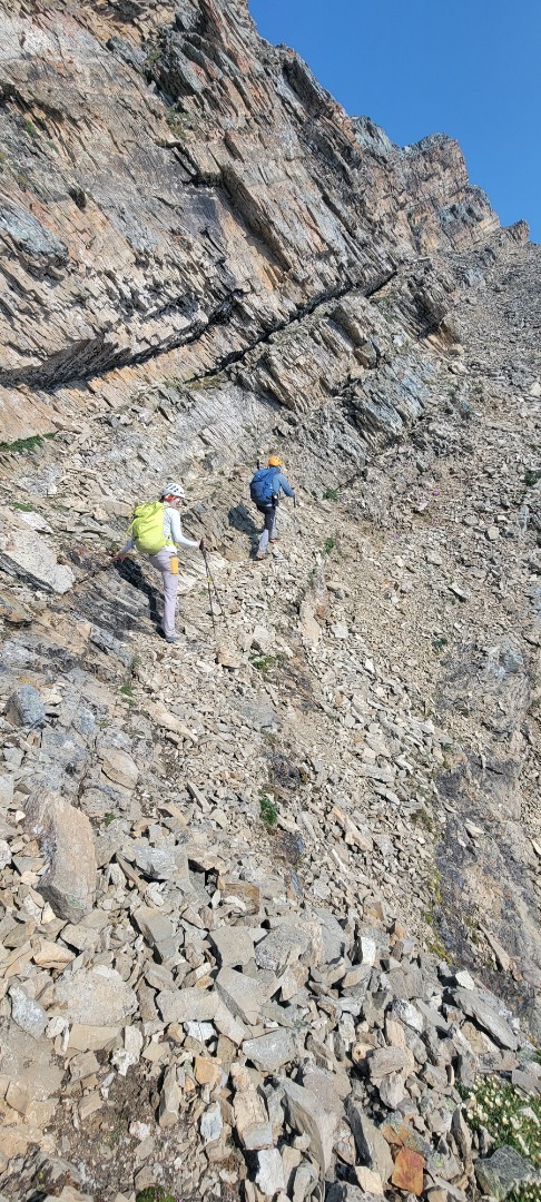
With the fear of being cliffed out, the group went as far along the ledges as possible and then chose to down climb to lower ledges. The down climb was very rubbly and required everyone to go one at a time to avoid knocking rocks on each other.
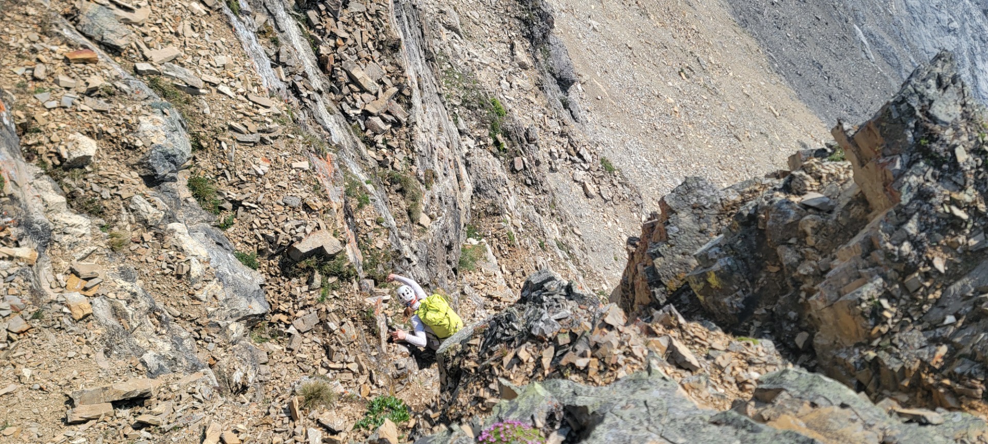
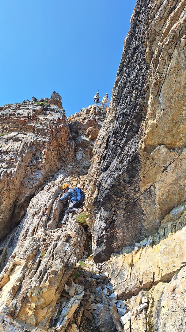
Once past the ledges, we noticed that there was indeed a cairn marking a decent route on the upper ledges. It is therefore possible to stay very high on the ledges and down climb at the very end. There is also a faint trail below the ledges, which can bypass them almost entirely (this was our descent route). Once past the ledges, we were met with the final climb to the summit, which is a hike, but forces you to gain another 300m of elevation to reach the summit over more quartzite talus.
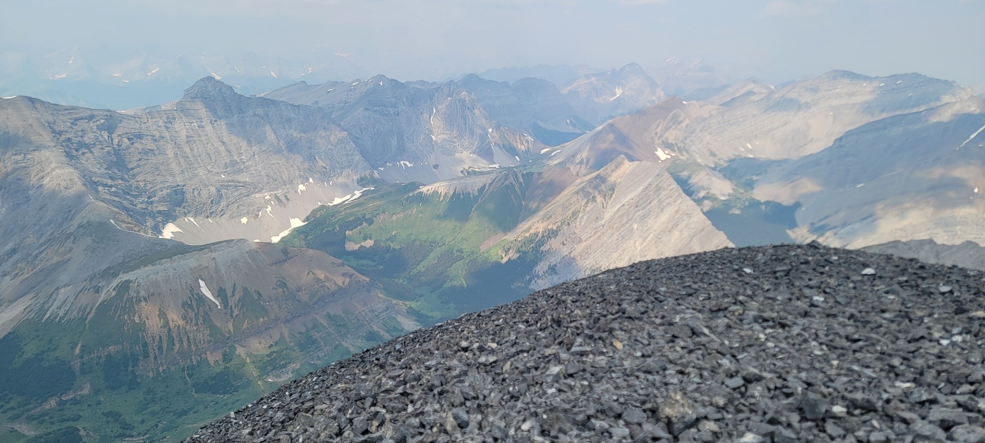
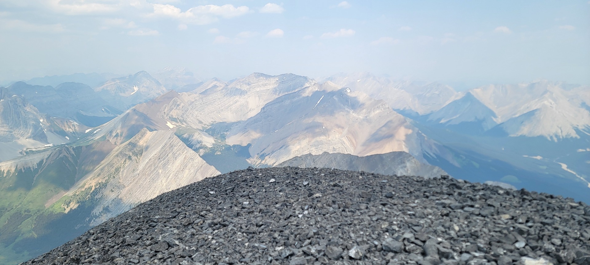
Once on the summit, we did not stay too long, as the gusting winds had arrived as promised, and the views from the smoke were somewhat obstructed.
We retraced our steps, but this time when we arrived at the ledges, we chose the lower trail leading us to the col. This also pushed us out onto the trail we missed on the way up that was marked by a small cairn. From here, we all saw a lovely scree run on skiers left that would take us to the bottom of the gully, and avoid any willow bashing, and greatly speed our descent. At the bottom of the gully, we retraced our steps from the morning, all the way along the Aylmer Pass trail and down along the lakeshore. There is a lot more elevation to gain even though you are descending, and with the heat of the day upon us, we were all happy to finally get back to the vehicles.