Waterton Lakeshore Trail to US Border (Boundary Bay) Trail hike on 23
What a lovely trail! Flowers, views, forest, rocks, creeks and beaches.
The trail breaks off from the one going to Bertha Lake about 2km from the parking, just after the first lookout. It goes down quite steeply to the Bertha Bay campground at lake level. Soon afterwards an interesting rocky ascent in two stages, with overhanging rock and an advisory to 'lead your horse' - I wonder how many equestrians hit their heads before Parks felt the need to put up a sign!
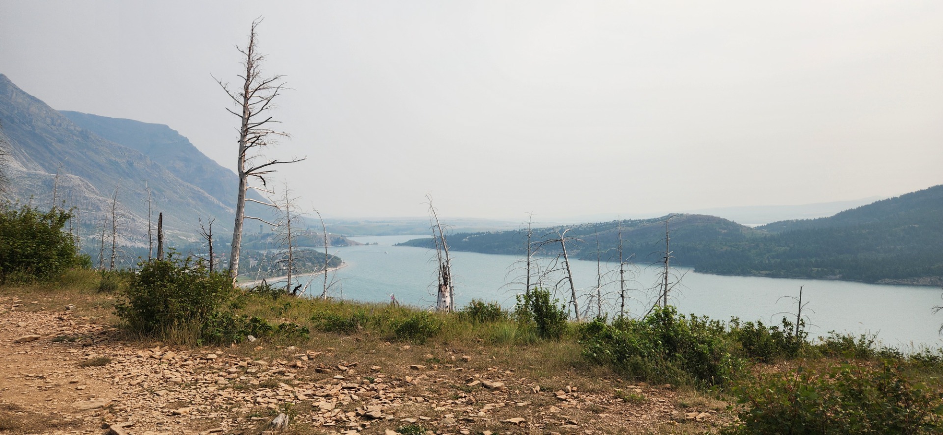
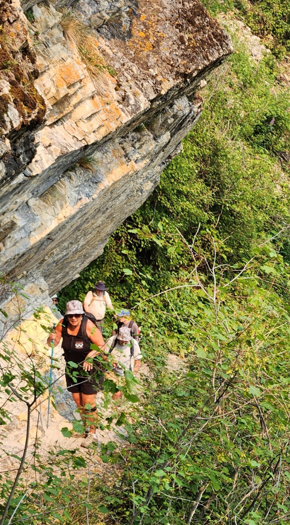
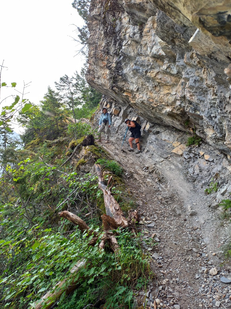
The trail follows the edge of the lake with a few minor ups and downs, with beaches along the way. 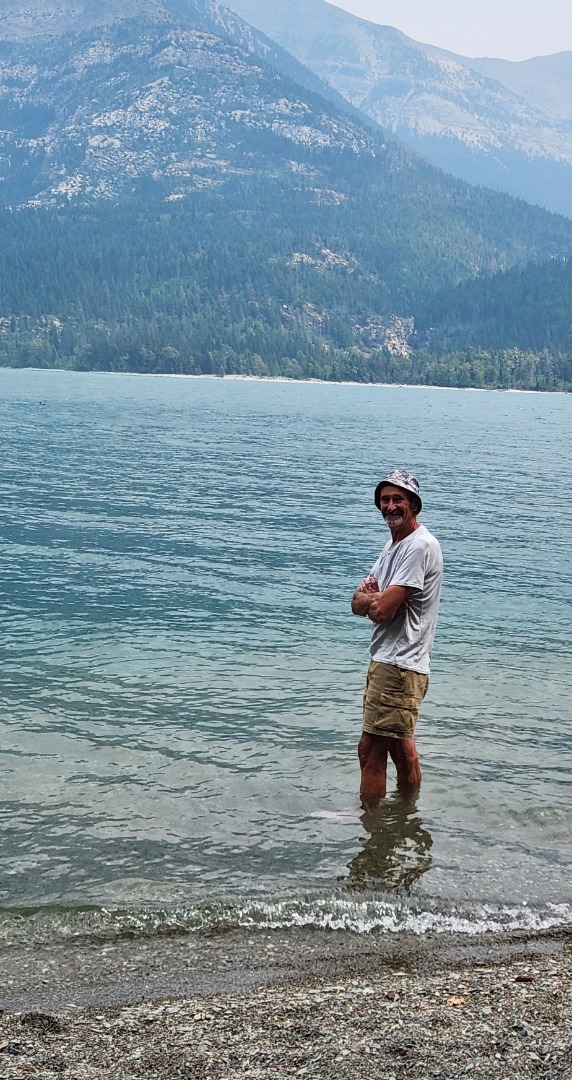
Our guest and her sponsor turned back about half-way along (equipped with bear spray), but the other four of us continued, stopping for breaks at a couple of the beaches. We had lunch at the last beach before the US border, which was a kilometer or so further, and would have involved another climb. Ambition to do the last kilometer was lacking after our leisurely lunch, so we went back, stopping at a beach for another break on the return. Our stats were 11.5 km and about 480m cumulative climb (going to the border would have been 13.5km, 537m).
There were a few other hikers on the trail, one of whom warned us of the resident black bear which he had seen about 20 minutes before in the dense growth near the trail; we did not see it ourselves, so it may have moved away from the trail by the time we passed.
Due to the steep, rocky sections, I think the trail should be classified as TL3 rather than its current RMR designation of TL1.
There was smoke haze, affecting the views, but it wasn't smoky for us on the trail. The haze went away in the afternoon giving way to hot sun for the steep ascent up to the Bertha Lake trail.
All in all, a very enjoyable, leisurely day. I would definitely do this trail again.
Thanks to Francisco, Maria, Clifton, guest Erica and Keith for joining me on this new hike for all of us, from Barb . Thanks also to Francisco for one of the pictures.