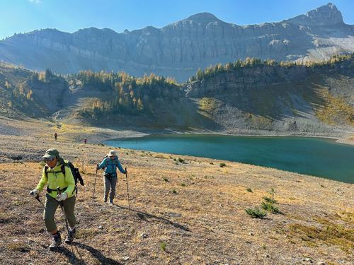
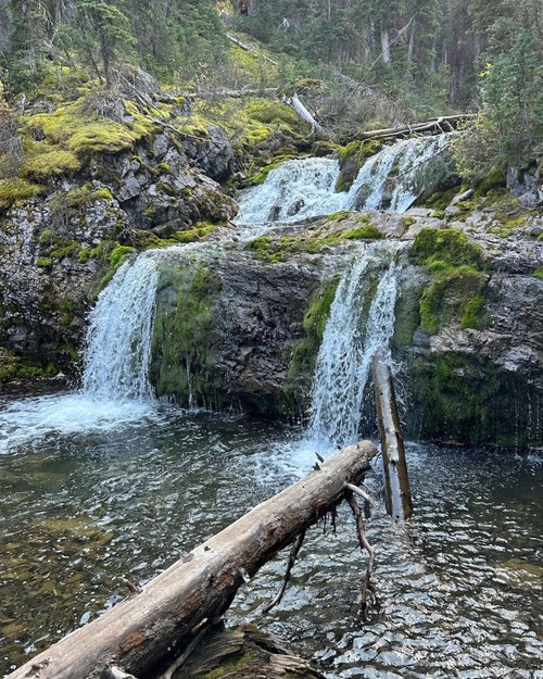
Ridge SW of Mt Smuts (a.k.a. Smutwood) Off-Trail hike on 25-Sep-2025
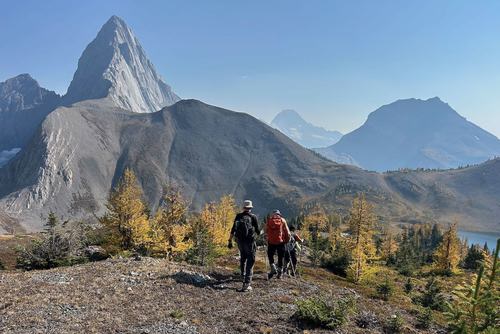
We had a fine hike with plenty of larches. The smoke was heavier than we've see for at least a few weeks.
We set out from the parking lot around 9:45 for the longish walk first to and then up the Commonwealth Creek drainage.
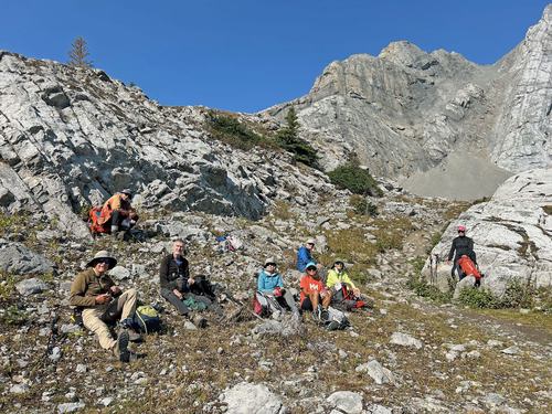
It was already past noon when we got to the ledge below Smuts Pass. So we stopped to regroup and have a "first lunch".
Approaching that lunch spot and until we were back there it was intermittently quite breezy (to be nice about it). Then it was onward and upward, finally see the destination and the start of the scramble bit.
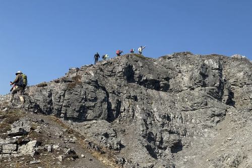
There is now a well beaten trail around the false summit to where you finally see the summit.
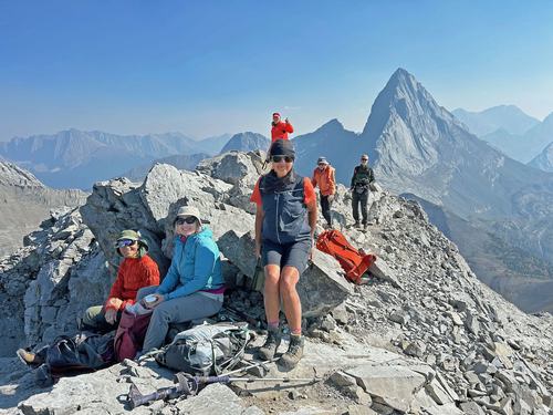
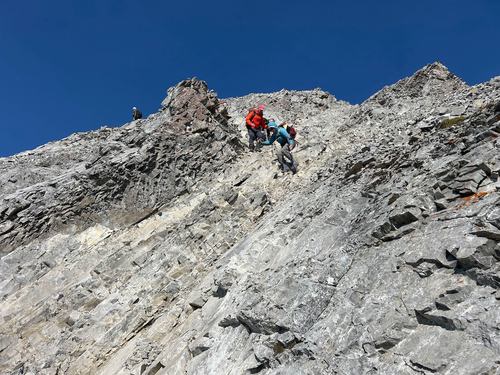
From there to the top was more challenging than I remember. The multitude of Social Media folk seem to go every which way. And I think that all seven of us that went to the top took different routes. It would be a challenge to find a way that was NOT a scramble. We made it to the top around 1:45 (four hour climb).
Second lunch up there and then the return.
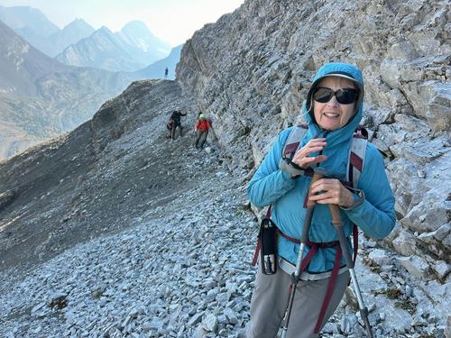
I have previously returned via the alternate descent route shown in the trip database. That involves hugging the cliff for 100-150 m.
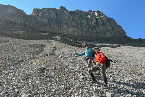
And then a now pretty nasty scree gully. I am fairly certain that this route was significantly more challenging than 6 and 15 years ago. I would no longer recommend it.
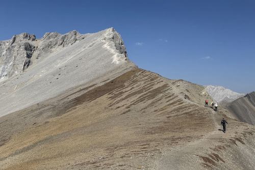
However.... The walk along the ridge between the Birdwood Lakes is so lovely.
Peter reports that he and Chris have normally simply done that ridge as an out and back from Smuts Pass and not done Smutwood Peak. I'm thinking that I would do the same in the future.
The six that took the alternate route down met up with the others around Smuts Pass and we proceeded for the now even longer (it seems) walk down the Commonwealth drainage and back to the cars.
Back at the cars at 5:45.
18 km, 825m ascent, 8 hours.
Many thanks to participants: Alda, Susan, Bob, John, Clifton, Paul, Jane, and Peter for joining me, Carl (C/S).
