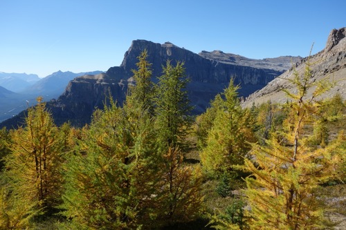
Helena East end ridgeline - larch hike Off-Trail hike on 23-Sep-2025
Participants: Ivan, Jim, Bill
The three if us met at 9 and proceeded up Rockbound Lake trail. At kp 5 left trail and started bushwacking. First was boulder stepping creek crossing then up treed slope which was near 30 degrees in a few sections.
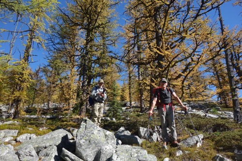
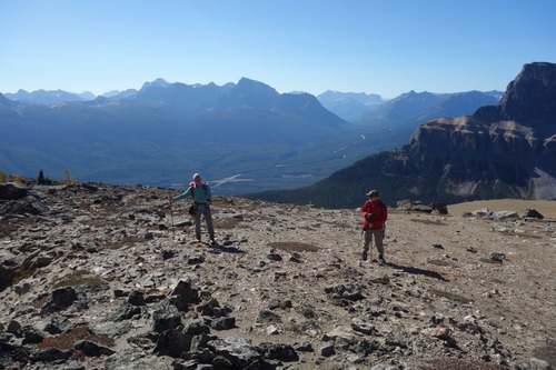
Our first larches, old forest, were at kp 5.5 and 2100 meters elevation. They continued to kp 6.7 and elevation 2400 meters where trees thinned and soon ended. Nice views down valley to southeast in this section when hiked along cliff face.
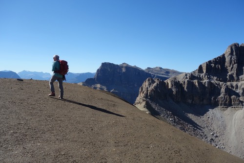
On top of ridgeline at kp 7.2 and ridge cintinued until 7.6. Nice views un all directions. Johnson Creek valley to north, Helena east face to northwest and Castle Mtn to southwest.
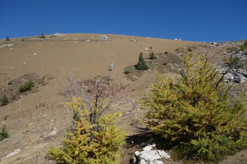
Then hike down, entered young larch forest, then standard spruces and back to Rockbound Lake trail.
Trip data of 15.1 km, 1101 meter elevation gain over 7 hours and 34 minutes.
