Ben's Hill Trail hike on 18-Sep-2025
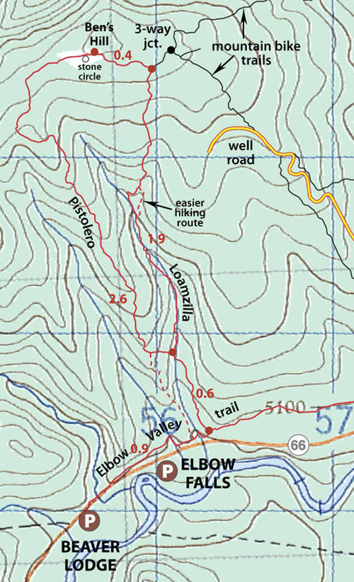
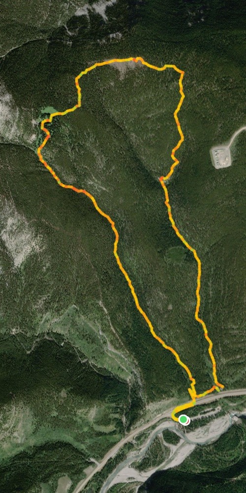
We all met up individually at the Elbow Falls parking lot, which was partially taken over by a film crew. After walking east next to HWY 66 for about 100 m, we turned onto a trail in the first drainage east of Prairie Mountain. As the original plan was to do the trip counter-clockwise, up Loamzilla and down Pistolero, this trail turned out to be the wrong one, even though it was pleasant and well defined all the way. We enjoyed hiking in dappled sunlight.
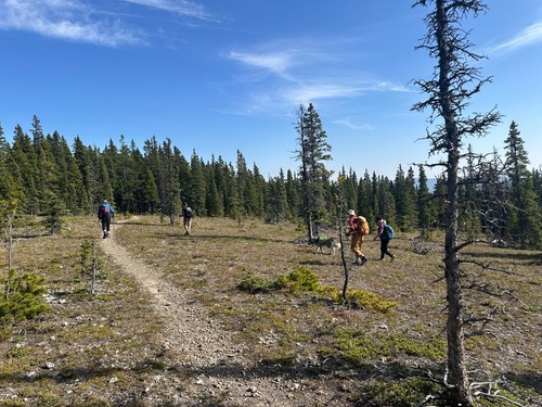
The trail got steeper near the top, where a short off-trail jaunt to the west leads to an alternate route up Prairie Mtn from the east. After the short, steep section, we continued eastward to the summit, discovering signage en route pointing out that our chosen trail was not an authorized one.
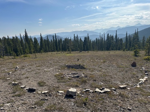
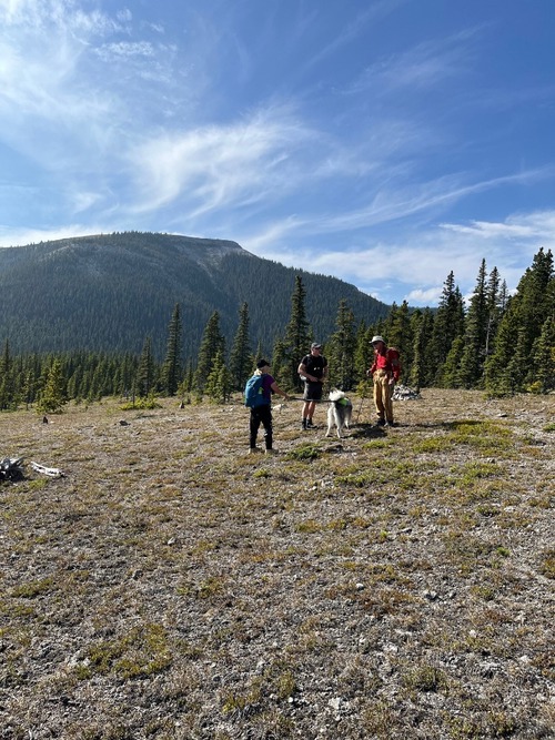
The “summit” is adorned by a large rock circle.
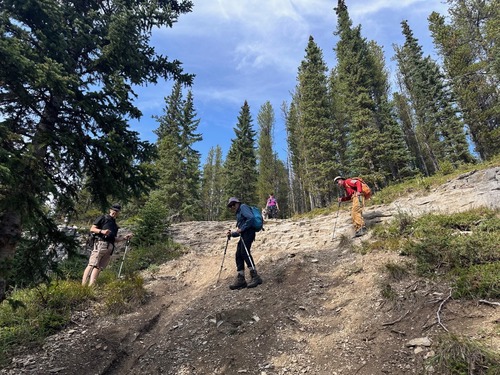
After a short rest we continued on, clockwise, to a 3-way junction and turned south to head down the Loamzilla mountain bike trail, encountering a rather steep cliff section that required care to negotiate.
From there, it was an easy return back to Elbow Valley trail, where I recognized my mistake in heading up too soon at the start. To complete the loop clockwise requires starting hiking Elbow Trail eastward past a second drainage and turning north at the Loamzilla sign.
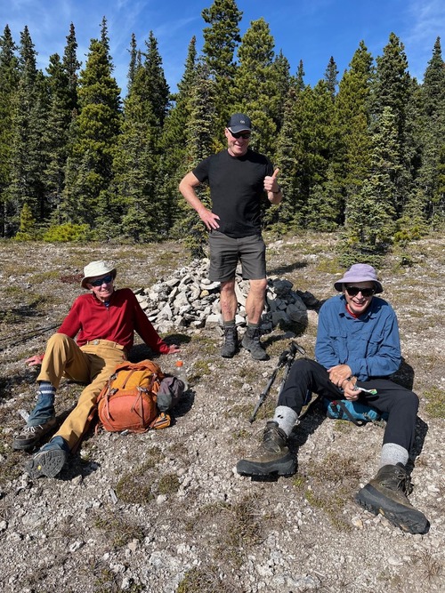
The Coordinator very much appreciated everyone’s patience as we sorted out the route modification and my multiple rest-stops. Was very grateful to have shared the half-day outing with Participants: David, Leslie and Sophie, Bob, Simon.
Trip Coordinator, Brian
8 km, 452 vertical meters, 3.5 hours
