Bow Peak Scramble on 19-Sep-2025
Once again, my loyal participants said that THIS was the "Best Hike of the Year". Lovely weather again.
All seven from my Crowfoot North trip last week, and six from my Caldron trip the previous week, plus two "newbies" joined for this trip up the Icefields Parkway. Yes, the drive is long, but we really have had wonderful trips. There has always been some smoke in the area, but it really affected the 20 or 30+ km views, and there is so much to admire much closer.
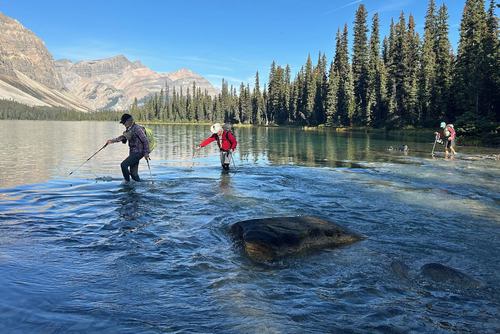
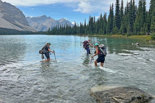
We set out a little before 10, counting the 340 steps north of the pullout to the now well worn trail from the highway to the river crossing. The water was generally a little below knee high.
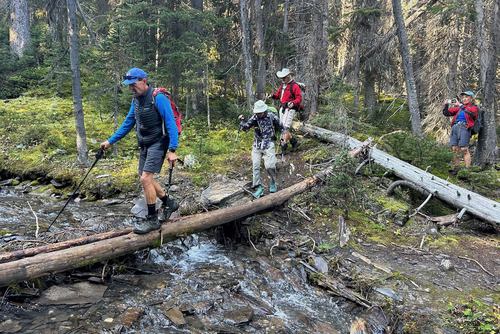
From there, there is now a very well beaten trail all the way to Crowfoot Pass.
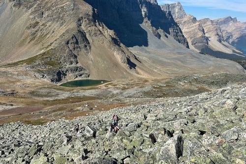
With a break there, we examined the route to the summit ridge. Five ascended quickly a little further right, three a little more slowly to the left, the coordinator attempted to stay in the middle with eyes on both groups.
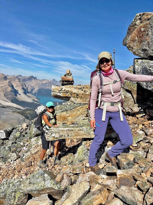
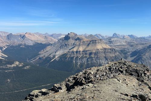
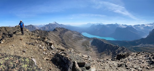
The summit ridge extended for quite a bit longer than we expected, but the views and the OT5 maneuvering was fantastic.
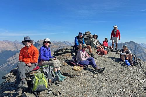
The faster group summited a little after 1, the rest of us some 20 minute later. Gary L had binoculars along with which he was able to spot the three Ramblers on Noseum Peak.
We stopped for a a good break on the summit admiring the short and medium distance views. The smoke is still obscuring peaks that are 30+ km away.
And then it became time to leave the summit.
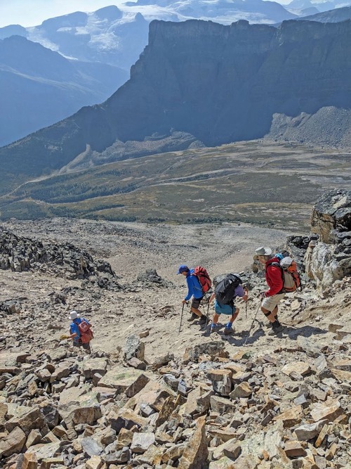
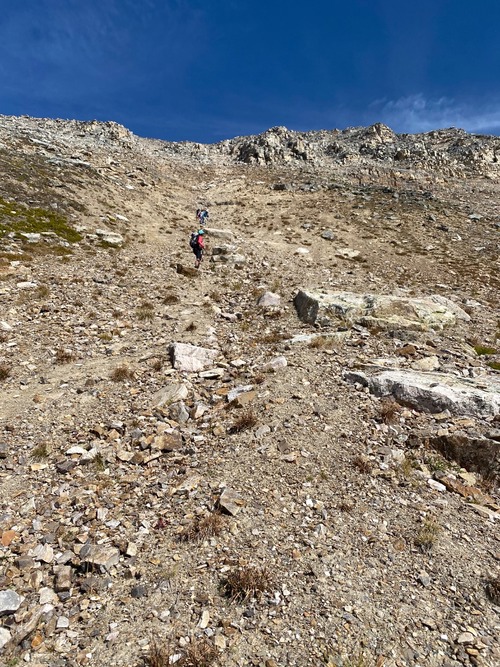
We had spotted the "scree descent route" that is mentioned in multiple trip reports and descriptions on our way up.
This route required that we stay in quite close order especially in some steeper looser sections. And we did dislodge a few rocks that could really hurt someone who was much lower down.
In the end this was a much quicker way down, and I suspect might actually be a faster, less "technical" way up. But all I think were in agreement that going up the blocky stuff and coming down the scree is the preferred option.
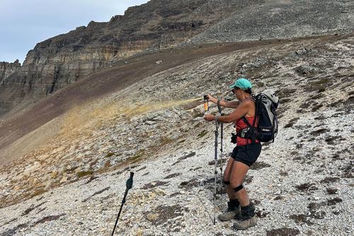
On the way down, near the Crowfoot Pass we took the opportunity to "practice" discharging a bear spray (13 years expired). Most had not ever actually pressed the button.
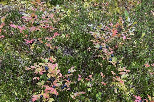
The bush trail down to Bow Lake was well supplied with huckleberries. We had to taste a few to make sure that they would be nice for the wildlife.
The river crossing might have been a little higher on the way back. One hiker insisted that it splashed up well up her thigh.
Back at the cars a little after 5.
14 km, 970m ascent, roughly 7 1/2 hours.
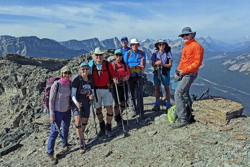
Many thanks to participants: Gary, Susan, Cordula, Cathy, Ulrike, Ingrid, Gary, and John for joining me, Carl (C/S).
