Crowfoot Mtn North Outlier Off-Trail hike on 12-Sep-2025
Yet another lovely day along the Icefields Parkway. Much like a couple of weeks ago at Caldron Lake everyone seemed to be "gobsmacked" by the fabulous views along this hike.
We had been a little concerned about parking, hence making the trip on a weekday. There is now very limited parking near the washrooms (one small car found a spot) but there are two good sized parking lots right at the highway, one for hotel guests, but the other open. It looked like it might have been fairly full later in the day.
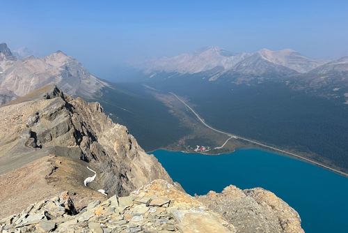
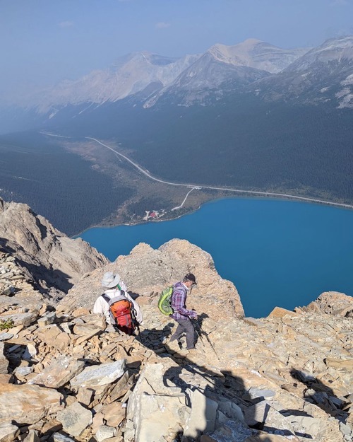
We set out a little before 10, and almost immediately had to stop to take photos of Bow Lake and environs. There was some smoke in the area, but it really only affected the visibility in the 20+ km range. And there is so much to see on the trip that is much closer.
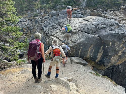
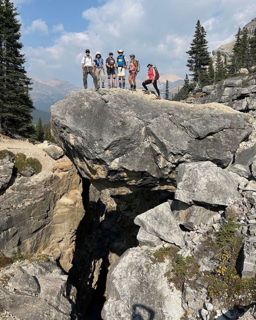
The first (and trickiest) obstacle is the famous Chockstone.
But we "conquered" it pretty quickly. The next trick is to find where to veer off the trail to Bow Hut. Having a GPS track is pretty useful for this. There is a little bit of following indistinct trails to get to the boulder field that is at the bottom of the long OT4+ route to the summit.
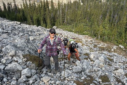
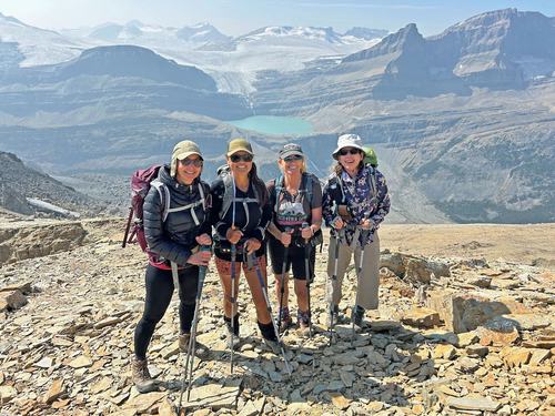
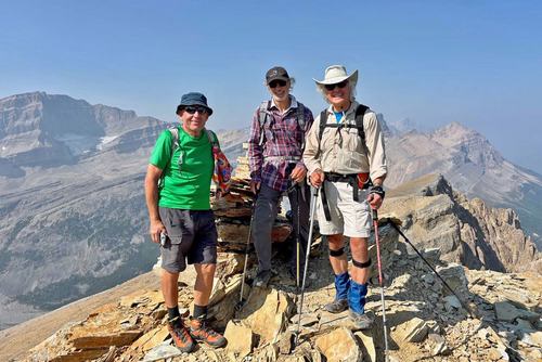
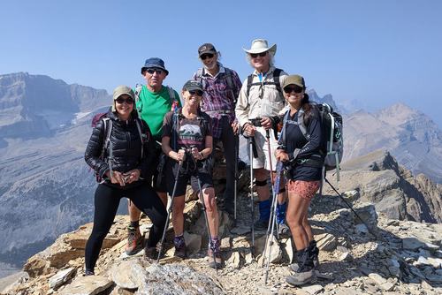
Once on that, it is just a long slog up almost 800 m to the summit. There are a lot of options to go left or right, occasional tracks that have been more heavily used. Just keep on climbing and turn around for the ever better views. Right from the start we were looking at the location of the rockfall beside Bow Glacier Falls that killed a couple of hikers in June. And as we climbed Iceberg Lake, the Wapta Icefield and the surrounding peaks became visible. We were at the summit around 1:30.
Had a break for around 1/2 hour and started down.
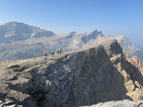
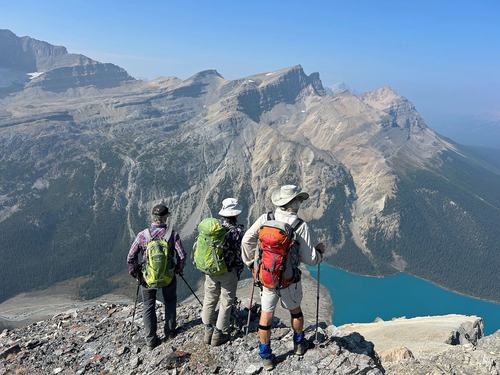
But before heading down we headed over to the furthest north viewpoint.
From the "outlier of the outlier" you can look right down at the outbound trail. And then on the return you can just look up and say "we were there".
We descended somewhat to the north of our outbound track, the consensus seemed to be that it was a little easier. Back at the chockstone.
And back at the cars (and the crowds) a little after 5.
13 km, 800m ascent, a little over 7 hours (thanks to the excursion north and a lot of photo taking). Moving time was close to 5 hours.
Many thanks to participants: Gary, Susan, Cordula, Cathy, Ulrike, and Gary for joining me, Carl (C/S).
