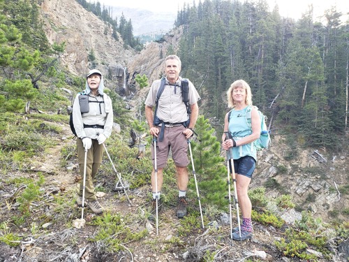
Silverhorn Mtn Scramble on 2-Sep-2025
The air quality index in Calgary when Pam, Sim, and I met at 6:30 am was 10+, and it was at least as bad when we picked Paul up at the Hwy 22 junction a few minutes later. So we were feeling more than a bit daunted by what we might find in the way of views from Silverhorn on this day. But fortunately, it turned out there was almost no smoke for most of the day in the vicinity of Silverhorn Mountain.
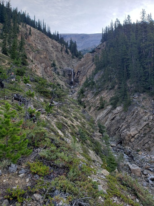
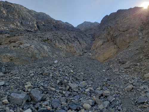
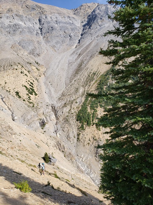
We parked at a gravel pull-out on the west side of the Icefields Parkway about 6.0 km north of Bow Summit. At 9:00 am we crossed the highway and headed into the bush, and soon came across the wide creek drainage. We paralleled the drainage on the north side until we had to move further to the north to bypass the waterfall. Our intention was to follow the drainage furthest to the south on Silverhorn up to the ridge, as shown in Bill's GPS track and report from 2015. This required dropping down into the main drainage and thereby losing what appeared to be a significant amount of elevation, which we were loathe to do. After faffing around for a bit with other possibilities, Pam, Sim, and I took the plunge, dropped down to the main drainage, and traversed over to south drainage. Meanwhile, Paul had decided to join up with a father and daughter team who were also doing Silverhorn on this day, and they chose to use Vern Dewit’s track, which followed the most northerly drainage up to the ridge.
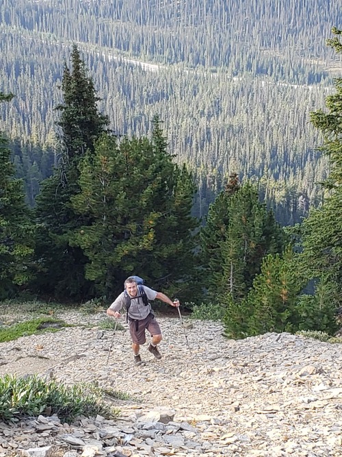
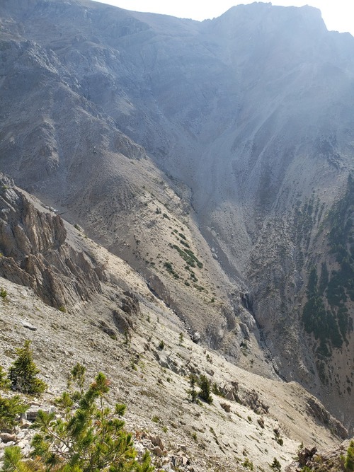
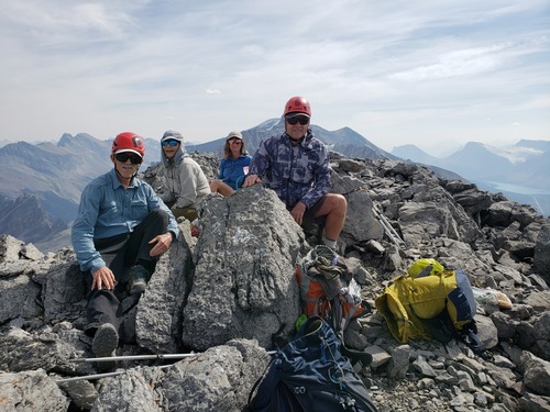
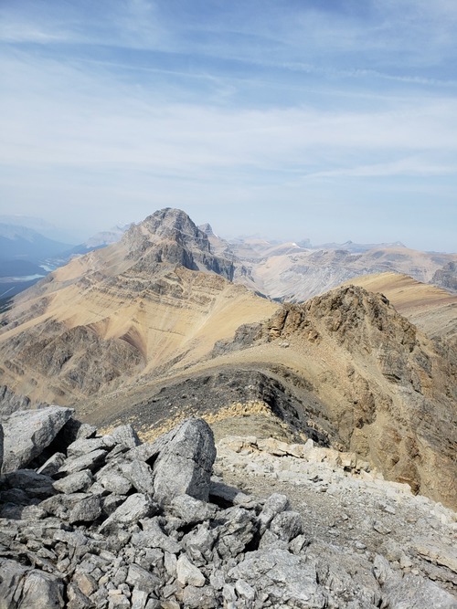
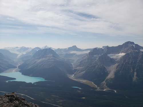
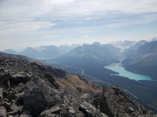
Our two groups arrived at the summit within 10 minutes of each other. As mentioned by Bill there is some pleasant scrambling to climber’s left of the most southerly drainage, which Sim, Pam, and I found to be a very nice change from the rather tedious scree and hardpacked dirt on the rest of the ascent to the ridge. We all arrived at the summit at about 1:30 pm or so, took in the magnificent views in all directions, and started heading down around 2:00 pm. The six of us decided to descend via the most southerly drainage i.e. the same way Pam, Sim, and I had come up. It took some care to avoid any problems with rockfall, but there was enough room to spread out. When we arrived back at the main drainage, we debated whether we should climb back up above the drainage the way we had come, or follow the main drainage down to near the top of the waterfall and bypass it there; in the end we decided on the former.
The father and daughter team had a long drive back to Edmonton ahead of them, so we parted ways. However, on our way down we found a very nice pair of almost new Black Diamond trekking poles that we recognized as being almost certainly the father’s. We were pondering how we might get the poles back to their rightful owner when, just before arriving at our car, we came across the father and daughter again. They were hoping that we might have found the poles, and that they might bump into us again before we arrived back at our car, so it all worked out. We arrived back at the car at 5:30 pm. Thanks very much to Sim, Paul, and Pam for joining me Jack on a lovely day in the mountains, and for contributing to the not insignificant route finding challenges on this scramble.
Total time 8.5 hours, total distance 8.4 km, total elevation gain 1200 m (not including the extra 100 m or so we did while faffing about).
