Mt Pocaterra 395070 via Mt Tyrwhitt Scramble on 19-Aug-2025
Participants: Simon, Maryse, Stephanie
Total Time: 9h, Total Distance: 13.43km, Total Elevation Gain: 1257m
With the promise of good weather, but high winds we decided to give Mount Pocaterra a go. Note: the newly constructed parking lot is now the main parking lot for cars, the older one is now designed for large vehicles and RVs.
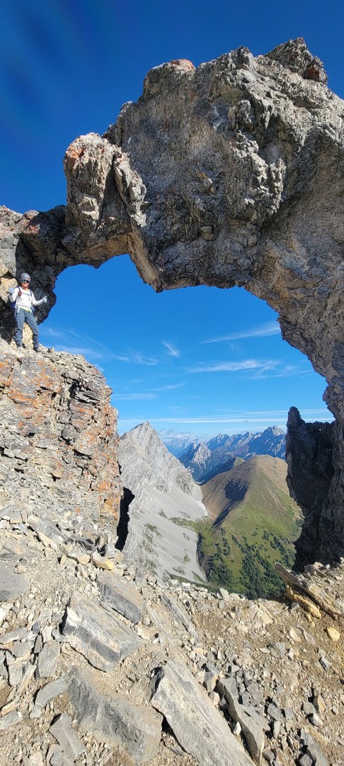
We started up the main trail for Mount Tyrwhitt, where we noted that the winds were already starting to pick up, but with blue skies and warm weather we continued on. We stopped for a brief photo opportunity at the arch and to take in the views, before continuing on to the summit.
After a quick refuel on Mount Tyrwhitt we continued our journey to Mount Pocaterra. Note: to get to Mount Tyrwhitt, you may stay true to the ridge, which is a moderate scramble with some exposure, or there is a very beaten trail to climbers left, which avoids all exposure, but is very loose.
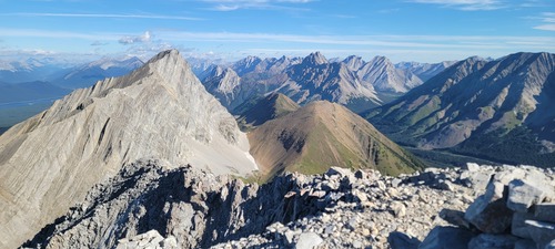
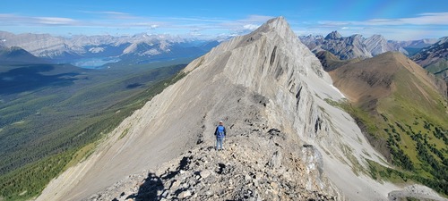
We followed the ridge for a long time, where the terrain was nothing more than a hike, with a few points of scrambling.
Once we past our descent route into the gully (this is where we came back to afterwards) the scrambling becomes much more committing.
We made it to what we thought was the summit and then spotted a cairn with a stick sticking up in the distance, we were unsure of which was the true summit, so we thought we better make our way over there just in case. It was a good thing we did, because halfway across, Vern Dewit's and Sonny Bou's photos came flooding back to me, and I clearly recalled the image of them standing on the summit with the stick pointing up out of the cairn.
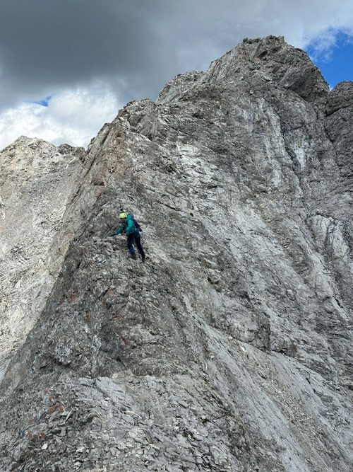
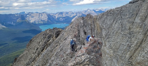
The terrain to the true summit, involves much more hands on scrambling and more caution.
The photo depicts the two areas of challenge to the final summit, you can see Maryse scrambling down to get to the gendarme that Vern describes in his report. "I had to hold onto a rock that looked kind of unstable while I kind of hung out in space and swung down a notch in the ridge." Fortunately, while the rock does look like it can give way at any point, the handholds are good, and it does feel very stable.
After a short break on the true summit, we made our way back over and across, carefully to our decent route. The winds were picking up, so we decided not to linger long.
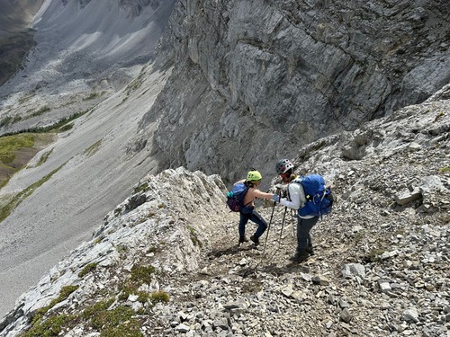
Once back at our decent route, we were hoping for some good scree to speed our decent down, but sadly did not get much. Instead the decent route is loose with slab covered by ball bearings, hard packed dirt, or larger moving rock. Again, caution needs to be taken here to not knock rocks down on partners.
We carefully picked our way down, finding the last gully to go through on skiers right. This was the last challenge of the day, as it was again hard packed with lots of moving rocks, and a slip here would hurt.
Once out of the gully, we finally found some scree and made our way down and across to the main trail for Pocaterra ridge, where we followed the main trail back to the vehicles.
