Cougar Peak (Canmore) Scramble on 17-Jun-2025
Participants: Sim, Ulrike, Evan, Stephanie. Total stats 19.12km, 1317m of elevation gain, and 10h40min to complete
The trail starts with a long hike back into Cougar Creek, but as creek walking goes is very tame, with stable rocks, and little elevation gained in the creek. Walk for about 2 hours, 7km in the creek bed before turning right and heading straight up a very steep gully. Look for a large cairn in the creek bed which indicates the point to turn off and begin the very steep slog to the gully of Cougar Peak.
Once in the gully, it is an endless slog and elevation gain until you reach the col of the peak. Route finding can be very tricky in the gully, and although you can go to the left or right, the right side would require far less scrambling and result in a scree slog (on descent this was our chosen route). With the creek bed being very long and flat almost all of the elevation had to be gained in the gully to the col, nearly 1100m in 2km. It was relentlessly steep and a grind to get to the summit.
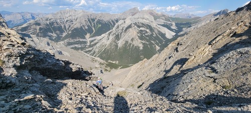
We chose to ascended on the left side of the summit block, which had lots of loose rock fall. Route finding was also a challenge to navigate the best way to the top and reduce the amount of rockfall sent below. At one point to avoid the rockfall both Sim and Stephanie needed to do some tricky scrambling.
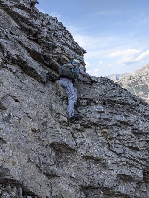
As a result of choosing to ascend on the left side we needed to traverse below the summit block to get to the ridge crest. The traverse was not terrible, and was far more tame than what everyone ascending to get to the summit block.
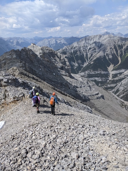
Once on the col, the summit was finally within sight and although steep the terrain was far more mellow, and was a simple walk to the ridge and true summit. One the summit we were greeted with lovely views of Canmore and Banff. Off in the distance we could even see Mount Assiniboine.
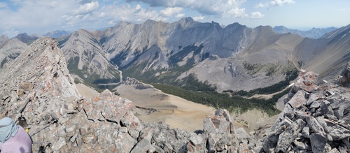
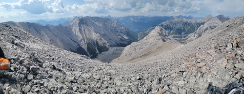
After a short lunch and summit photo, we made our way back down as weather was moving in and we did not want to be in any tricky terrain in case rain rolled through.
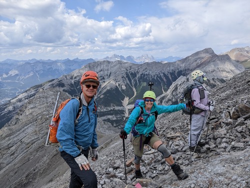
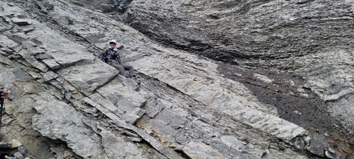
At the col we chose to descend on our left (right on the way up), because we could all see a scree run to speed our decent. Unfortunately the run did not last long, and we were back to navigating our way through different ribs and gullies to back to get back to the base of the gully and creek bed. At one point, we thought we would have to execute a very tricky and involved down climb, but at the last minute before committing we spotted a well placed carin and made our way over to a much better decent line on steep slab. This was still the better option than the down climb on loose and wet rock.
Ulli happily poses using 6 points of contact to get down the slab. We all agreed that our bags counted as an additional point of contact.
After making it down to the gully and back to the creek bed we made the long hike back to the vehicles, fortunately, other than a few quick showers here and there, the weather cooperated.
Note, this trail may be easier to ascend with some snow as most other reports completed the trip mid to end of May, when the snow would provide some support and speed their ascent and decent. Also, helmets would be absolutely mandatory for this scramble as the rock was very loose and rockfall is a real danger. Lastly, route-finding can be very tricky, and a poor choice in navigation could require an SC7 scramble.