East peak of Mount Burns 555096 Scramble on 10-Oct-2024

It is tricky to call trips this time of year, because the conditions can change literally overnight. The East Peak of Mount Burns is not a trip I would want to do with snow on the route, so it was with some trepidation that I went ahead and called it. I was relieved to discover that the route appeared to be snow-free as we drove west along Highway 546 west of Turner Valley. The route was in fact snow-free except for the east side of the ridge between the false summit and the true summit, where there was a skiff of new snow that had likely fallen the night before. However there was just enough snow to make the scrambling on this part of the route just a bit too spicy at times. Fortunately the other alternative is what I would call the ASP route which stays on the ridge crest as much as possible (ASP stands for “All the Scrambling that's Possible”, or alternatively the route that “Alda, Sim, and Pam” would take), so we followed the ASP route on our descent, which was bare and dry and fun for it's entire length.

We left the parking lot at 8:45 am, were on the summit at 12:45 pm, left the summit at 1:15 pm, and were back at the parking lot at 4:30 pm.

Many thanks to new Ramblers member Scott and to Stephanie for contributing your considerable enthusiasm and scrambling skills and for making this another great day in the mountains.

Jack

Total time: 7.75 hours

Total distance: 12.5 km

Total elevation gain: 1250 m
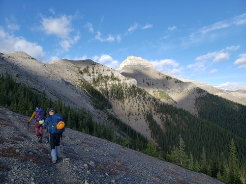


Most of the route can be seen from just above tree line. The true summit is at the far right i.e.to the right of the false summit.


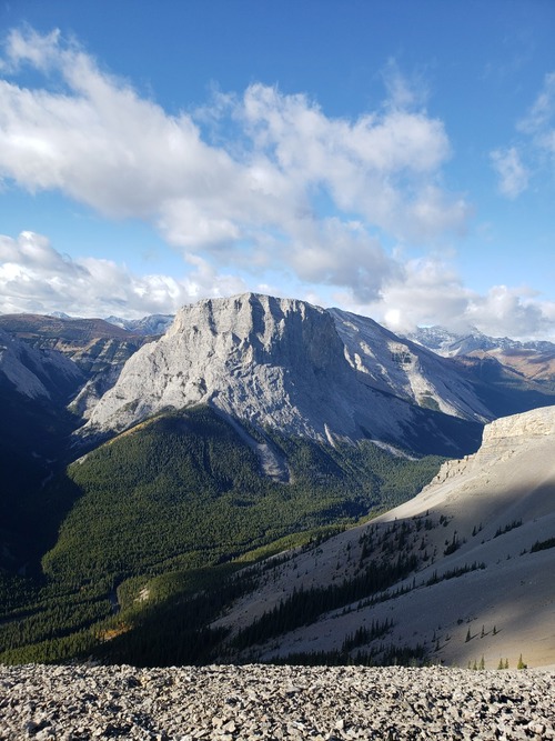
Gibraltar Rock from East Burns ridge, with Mist Ridge in the background.


The false summit of East Burns. The route follows an ascending traverse of this face.


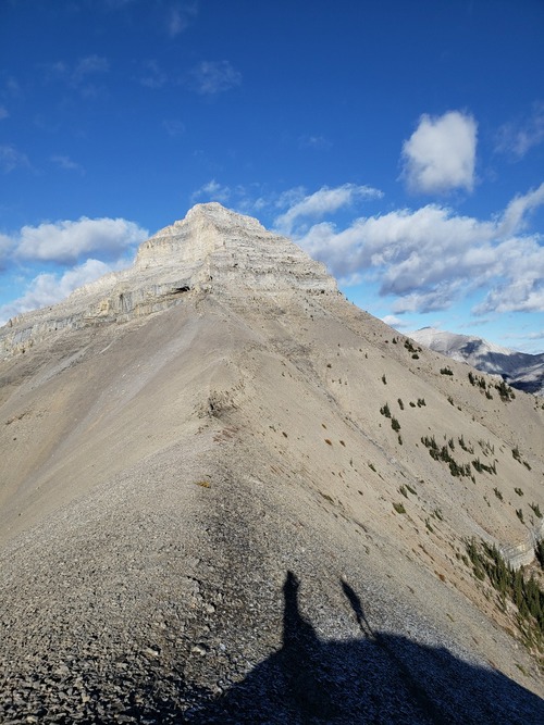
Looking toward the true summit from the top of the traverse of the false summit's face.


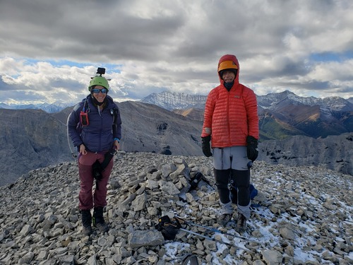
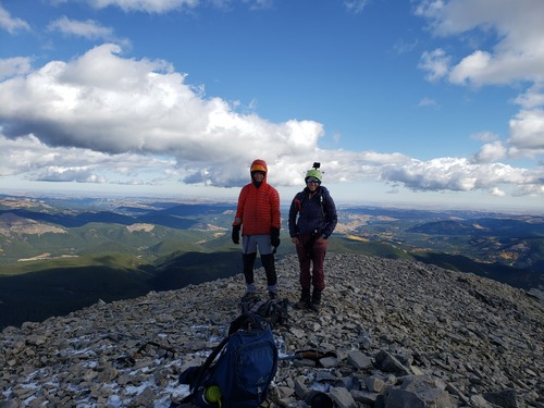
Stephanie and Scott on the summit of East Burns looking west, with Mist Mountain in the background.


Scott and Stephanie on the summit of East Burns looking east.


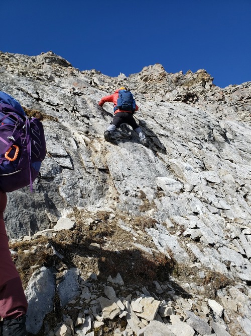
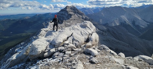
Some interesting scrambling just below the summit.


Some interesting scrambling just below the summit.


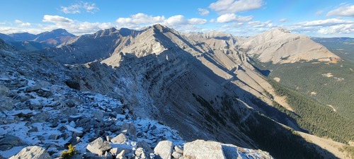
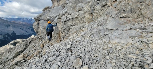
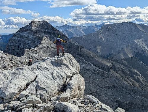
Typical terrain on the ridge between the true summit and the false summit.


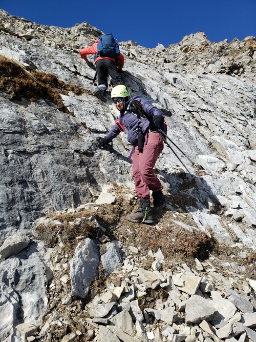
Heading down the ridge from the true summit to the false summit.


Descending the ridge to the false summit from the true summit.


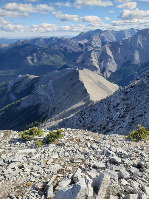
Looking down the ascent ridge, with Junction Fire Lookout, Junction Mountain, Mount Pyriform, and Shunga La She in the background.

Edit report | Back to List