Mt Weed 326377 Scramble on 15-Sep-2023
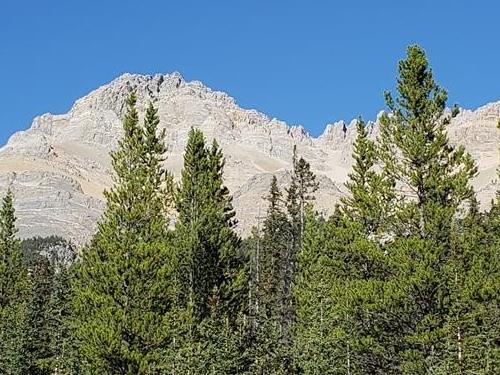
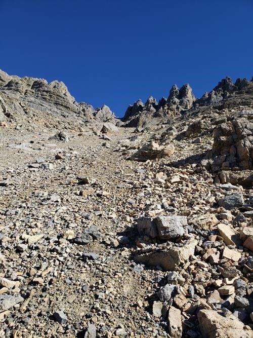
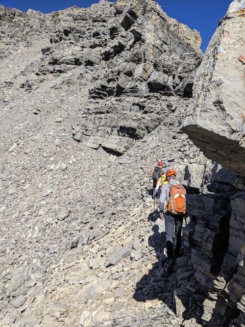
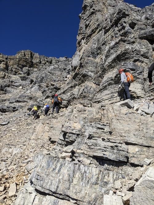
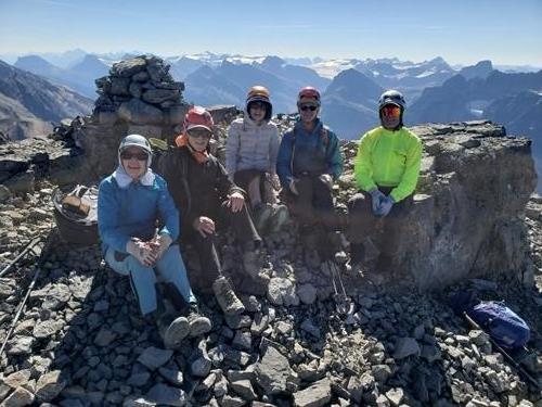
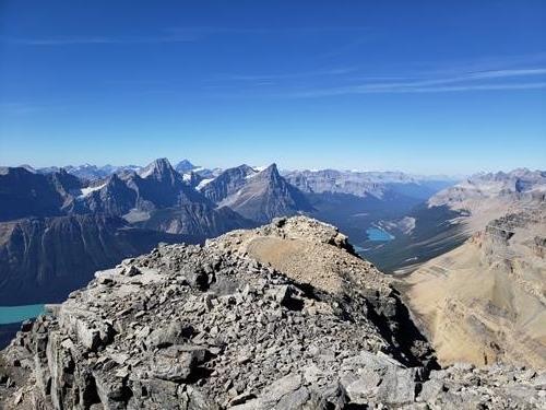
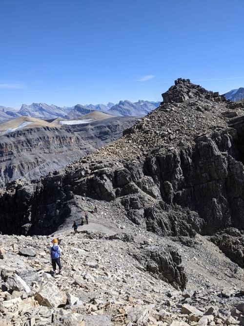
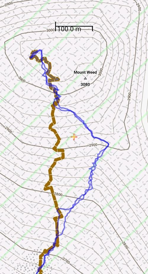
We started from the parking area 7.0 km north of Bow Summit at 9:30 am on this absolutely beautiful fall day. Based on Kane's description and Spirko's GPS track, we mostly stayed on the climber's right side of the creek/drainage, where we found a rough trail most of the time. We chose to ascend Weed by first climbing up to the distinct col below the summit, and then traversing to climber's left before ascending a series of ledges that leads to the summit. This is the same route that Kevin et al used on their ascent of Mount Weed in September 2016, and it is a slight variation of the more direct route used by Spirko, as seen on the screen capture of the GPS tracks below. I would recommend climbing to the col first for a group of more than two or three as the exposure to rockfall is somewhat reduced on this route. We arrived at the summit at about 1:15 pm, and spent the next hour or so enjoying the spectacular views in all directions. We were back at the parking area at 5:15 pm. Thanks very much to Mike, Ulrike, Evan, and Toshiko for joining me Jack on another beautiful day in the mountains.
Total distance: 9.0 km
Total elevation gain: 1320 m
Total time: 7.75 hours
