Ribbon Crk - Guinn Pass - Galatea Scramble on 21-Aug-2023
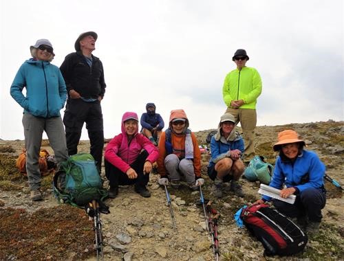
Apart from a slightly smoky sky, this turned out to be a good day for this longer loop hike. Temperature maxed out about +18c, negligible wind and a great strong group.
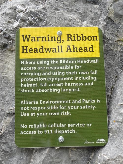
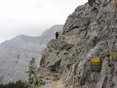
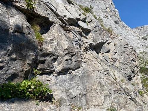
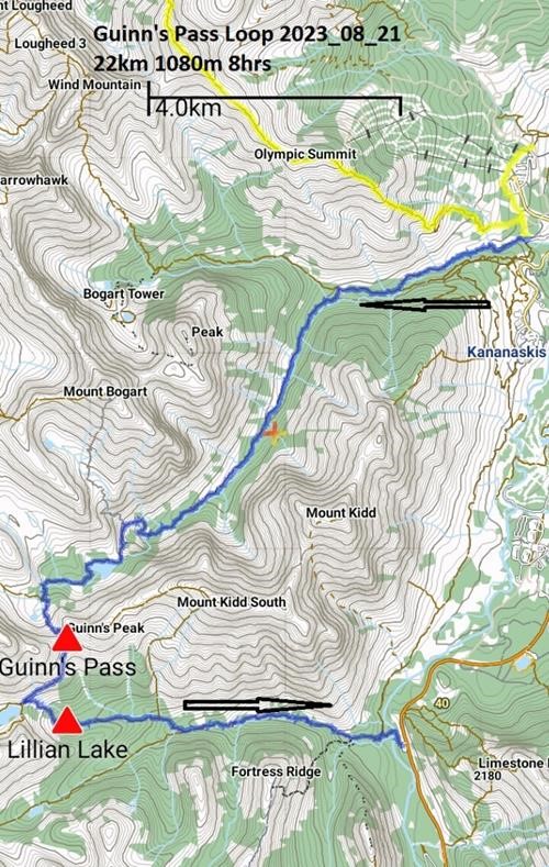
We sorted out the short car shuttle to start from Ribbon Creek about 9.00am, as planned. A steady pace with a few navigation checks at trail junctions brought us to the headwall at 11.45am. Here, a few donned helmets as recommended by Alberta Parks before proceeding to climb the new metal rungs and substantial tight cable up the headwall. Although exposed, I thought this quite easy and no-one bothered with the recommended climbing harness and lanyard. Everything was less than a year old and felt very secure, but descent might be slightly more tricky. There was even room to pass a descending group. Well done Alberta Parks.Of course, a fall here would be deadly. IMO, a similar construction should be built at Carnarvon Lake near Highwood Junction.
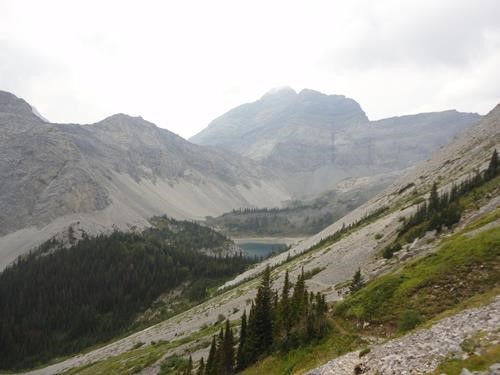
Ribbon Lake was calm and pretty. We decided to continue to Guinn's Pass for lunch and views, taken at about 1.15pm - 1.45pm. A little cool in the breeze after a sweaty approach. The descent on the newish trail (2017) to Lower Galatea Lake went smoothly and we regrouped at scenic Lillian Lake.
Then a long 7 km walk in the woods on a good trail brought us to our shuttled cars at Galatea Trail Head by 5.00pm, roughly as planned. This lower trail was quite popular both with campers and day trippers.
Thanks to all participants: Sim,Kim,Jim,Sonja,Jane,Pam,John,Donna from S, C & P David for making this such an enjoyable trip. I last hiked this trip (and longer) on 14 October 2006. Thanks also to prior useful comments by Ingrid and Yolande which helped with logistics.
Stats by my phone GPS: 22km, +1080m, -1000m in 8hrs car to car. This jibbed with at one other GPS. (Since this route is well signed, IMO a GPS is unnecessary).
