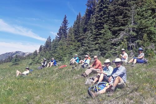
Stony (aka StonyCat) Ridge from the south Off-Trail hike on 24-Jul-20

We had a lovely day on this ridge nicely tucked west of Gunnery/Holy Cross/Head and east of Junction Hill and Cat Creek Hills.

The trailhead for this hike (I believe the old Ford Highwood Collieries Road) doesn't have a lot of parking space, so we parked a few hundred meters east in the access to the heli staging area. And set out around 10.
The route in is largely a heavily overgrown road. But is is so overgrown that in places it is possible to lose the trail. So it was handy to have a GPS track (courtesy of Bob Spirko) to get us back on the "road".
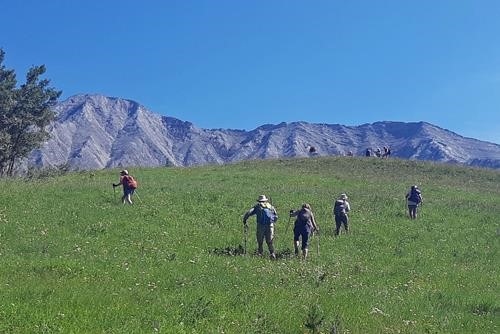


Climbing to a break spot on the Grassy Knoll
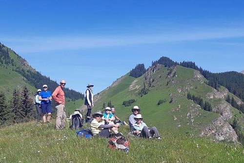

After about an hour we arrived at what Spirko calls the grassy knoll (no snipers in evidence).


Break on the Grassy Knoll (high point in the centre of the photo, Junction Hill at the left)
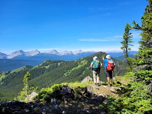

We did get off the track immediately following the Grassy Knoll and ended up having to do a bit of bushwhacking to climb back to the trail which is higher than one might expect. Crossing over from the shoulder of Junction Hill to the penultimate summit of Stony Ridge, it turned out to be significantly better to stay high rather than following the track slavishly. The walk along Stony Ridge for the last km or two is fantastic.


On the Stony Ridge.
On the Stony Ridge.

We made the summit around 12:30 and had a leisurely lunch amid a profusion of wildflowers.


On top (more or less) of Stony Ridge
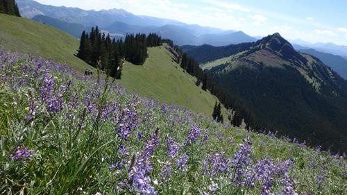


Larkspur
Larkspur

The return went off quite easily without the "mistakes" that we made on the way up.


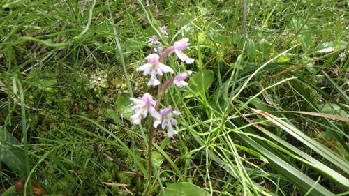
Roundleaf orchid
Roundleaf orchid

We were back at the cars around 3:30. All in all most of us felt that this was a excellent hike. I would pair it with Junction Hill horeshoe, and when heading into the area do whichever I had not done the last time.
Distance around 13 km (including the bit along the highway) net elevation gain 700, total maybe 800.

Many thanks to participants: Rosanne, Philip, Ron, Dean, Nardi, Teresa, Jane, Jenny, Jo, Elaine and Kate for joining me, Carl (C/S).
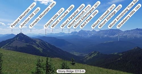


PeakFinder looking south
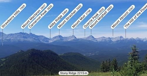


PeakFinder looking west
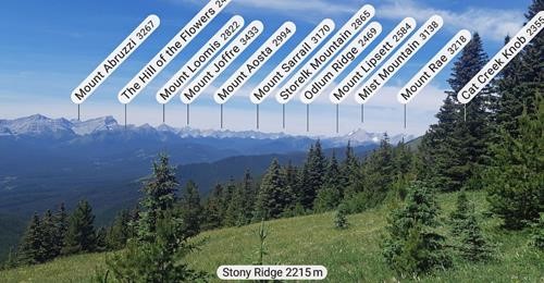


PeakFinder looking northwest

Edit report | Back to List