Mt Romulus backpack: Talus Lakes, Paradise Pass Off-Trail hike on 20
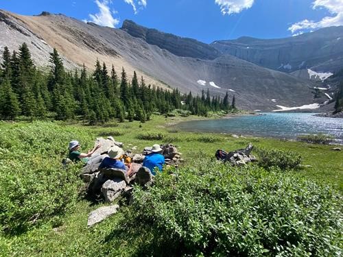
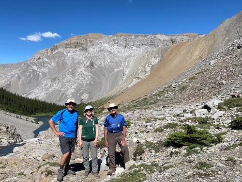
Day 1 (24 km): It took 3 hours to hike into Mt Romulus campground, then we set up camp and had lunch. This campground has been renovated with the tent pads very far away from the eating/socializing area and is quite nice. In the afternoon, we hiked to Talus Lakes. Gorgeous lakes and impressive views of Mt. Cornwall’s cliffs, but the hike was hot right from the start and felt even hotter when we were coming down (which in many places felt like we were going UP because of sneaky hills). We spent a lazy evening talking around a table next to the river and a quiet night despite the youth group occupying most of the remaining campsites.
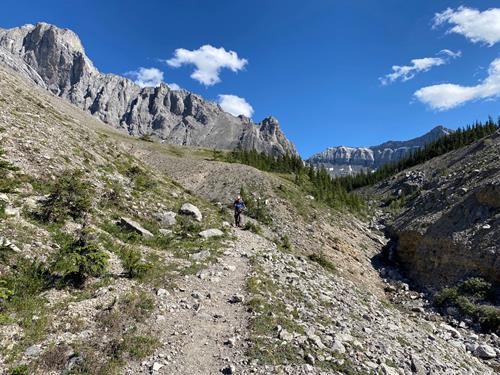
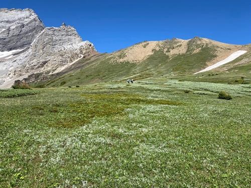
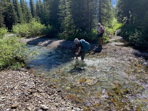
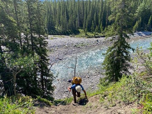
Day 2 (21 km): A long, gorgeous, awesome, adventurous day! The objective (and the main reason for doing this backpack) was Paradise Pass, which sits on the other side of Mt Evan-Thomas from highway 40. At 7:50 AM we were wading the river to start walking on an old track right across from the campground. All was uneventful until the track ended at the river a few km in. We waded across but couldn’t find a trail despite our maps suggesting that we were on the correct side of the river. After a kilometre of a not-too-nasty bushwhack, we found the trail (more about that later) which was good most of the way to the pass.
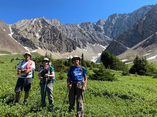
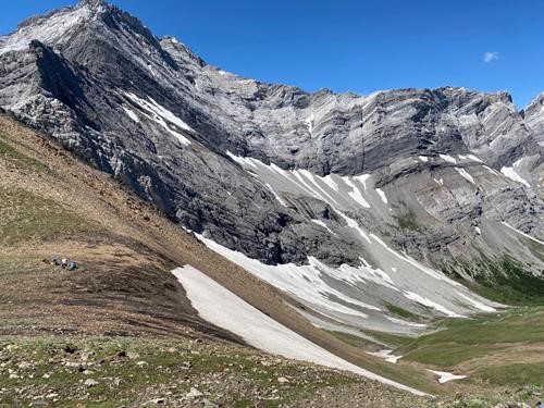
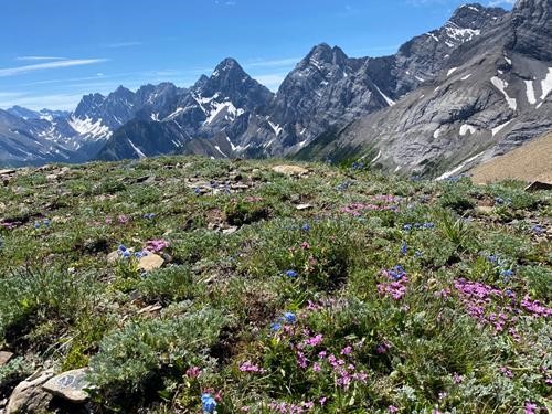
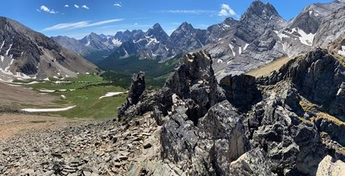
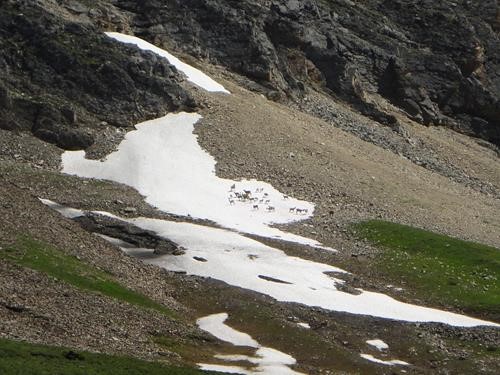
Not surprisingly, the subalpine meadows were running very late this year, but we had large displays of spring flowers plus thousands of valerian, and the pink/purple paintbrushes and showy fleabane were just starting. These meadows, plus the views along the back side of the Opals (it was particularly interesting seeing the north side of Piper Pass) are expansive and beautiful. A large herd of bighorns was on a large snowfield on one side of the valley, and there were both old and new grizzly diggings.
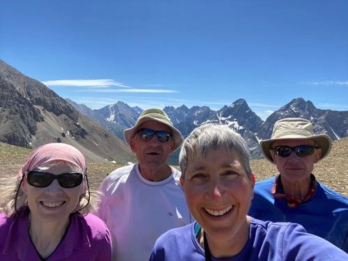
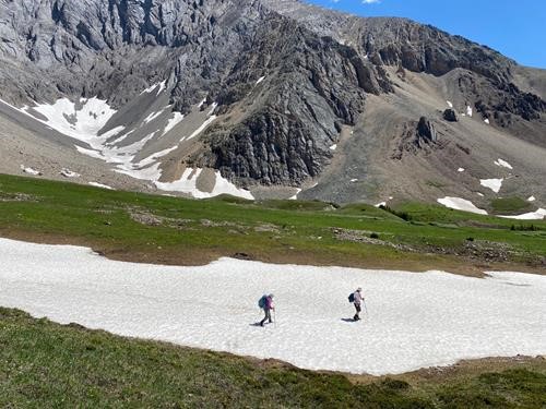
We spent an hour at the pass, eating, lounging, looking around, and (for Jane and I) climbing higher on one side. Eventually we started down, and most of the group took a detour to glissade and whoop down a steep snowfield, then ski/skate an even longer one. Excellent fun skiing on a summer day!
We descended back to the west fork of the Little Elbow and picked up the trail which we had found after the bushwhack. About 50m later, it ended... at the river! So we figure that the trail was “rearranged” by the 2013 floods. We could see it continuing on the other side of the river, so we waded across (knee deep) and then had an adventurous kilometre of some trail, some flooded areas, and another couple of water crossings. I think that the pattern over the whole day was sandals/boots/sandals/boots/sandals/boots/sandals/boots/sandals. Then we were back on the morning trail for a hot and slow journey home, arriving 9 1/2 hours after setting out. Stellar weather and the experience of an area less travelled made for a memorable day, indeed. The warm evening (with very few bugs) was spent laughing over dice games and wandering through the equestrian campground. Our campground was empty except for one other tent.
Day 3 (13 km): We left early to walk back to the cars, arriving around 11:00 and eating lunch in the shade. Total for the trip was 58 km over 2.5 days. Many thanks to the group for their enthusiasm, good humour, and patience whenever the coordinator had to repeatedly cool down in the many streams that crossed our path. And special recognition to David for not complaining despite the others often hiking ahead at a ferocious pace, and to the others for cheerfully regrouping often.
Participants: David,Carl,Jane,Ingrid coordinator.
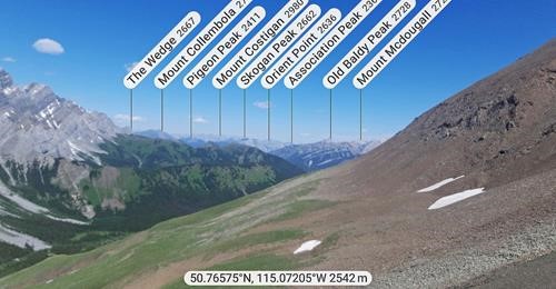
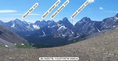
Peakfinder images from Carl:
