Sofa Mountain Scramble on 13-Jul-2022
It was supposed to be a hot, clear day, but the rain squall that delayed our start by 10 minutes was a hint that maybe the weather forecast was a little off. We set off through chest high vegetation in the direction of the northeast ridge which would be our ascent route through a mix of aspen forest and meadows. After about 300m of easy walking along the ridge we reached the scramble section consisting of a series of rock bands. Also at this point the skies darkened ominously, and we could hear the steady rumble of thunder and see rain falling across the valley. We were on the edge of the storm system, but decided to sit tight for about 40 minutes to avoid being caught on the exposed ridge. When the clouds finally moved on we continued our ascent through a series of cliff bands. The route was fairly obvious and mostly followed the ridge, although it was necessary to detour off the ridge occasionally to look for obvious gullies when the route got too exposed. When we finally reached the broad, open ridge top the wind was howling from the west and there were more storm cells heading in our general direction. At this point we decided to pass on bagging the summit of Sofa and instead continued our circuit to the next northeast ridge and our descent route. This turned out to be the correct decision as we were blasted by high winds, rain and hail at the top of the next scramble section, and once again had to sit tight for about 20 minutes until the storm passed. The route down was obvious and was marked by a series of cairns. There were fewer rock bands to deal with than on the ascent, but a lot more scree. The hike down was uneventful with no bear sightings, and we arrived back at the vehicles at 5:20pm. According to my GPS the cumulative elevation gain was 1,200 m and distance was 14.8 km. Thanks to Phyllis, Jeannette, Jane, Dave and guest Irene Balutis for joining me. John c/s
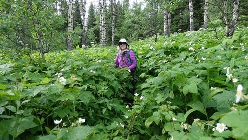
Jane heading up the trail
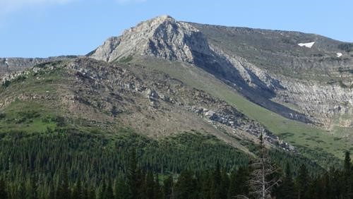
View of the ascent route
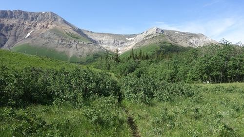
Ascent route on the right and descent route on the left.
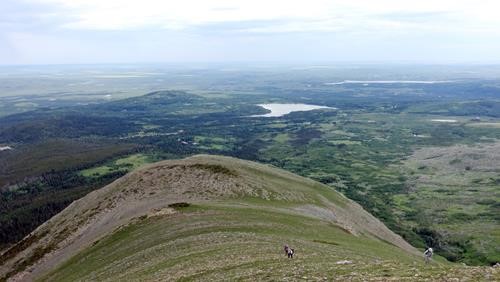
Looking east down the ridge.
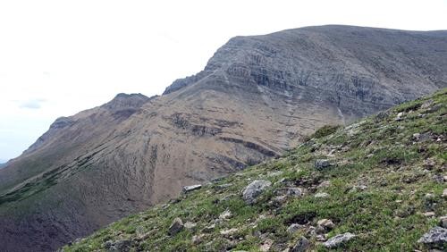
Looking across at the descent route on the next ridge over.
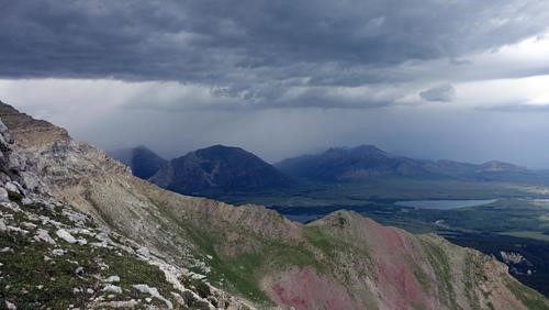
First of several storm cells to hit us. Time to hunker down.
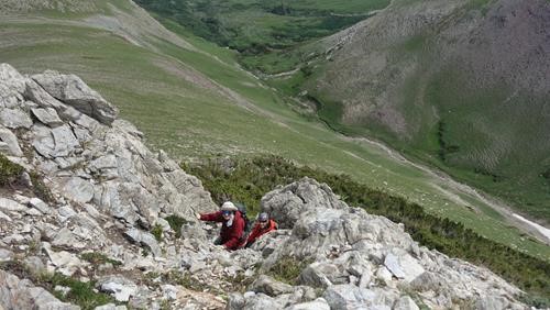
Heading up the scramble section.
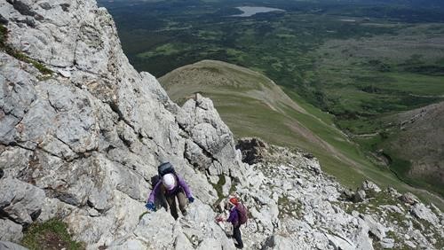
Scramble section following the ridge.
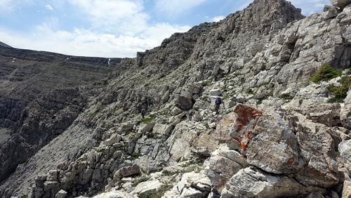
Detouring off the ridge to find a gully.
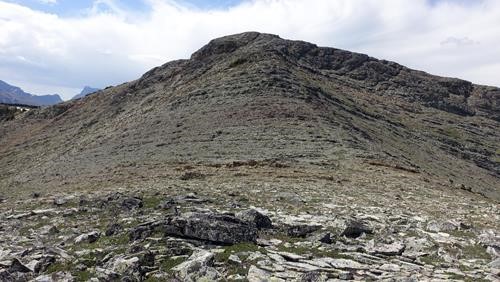
Hight point on the ridge.
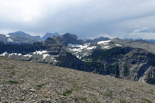
Views from the ridge with more weather approaching.
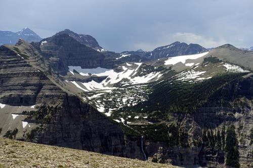
Views into Glacier Park.
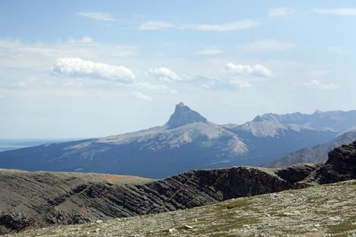
Chief Mountain in the sun.
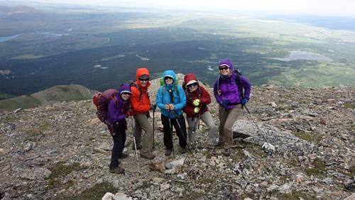
The team holding steady in 60 km/hr wind.
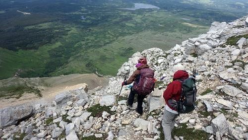
Starting the scramble down.
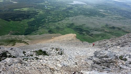
After a few rock bands the descent route is mostly scree.
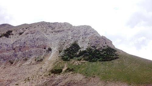
View across the valley of our ascent route
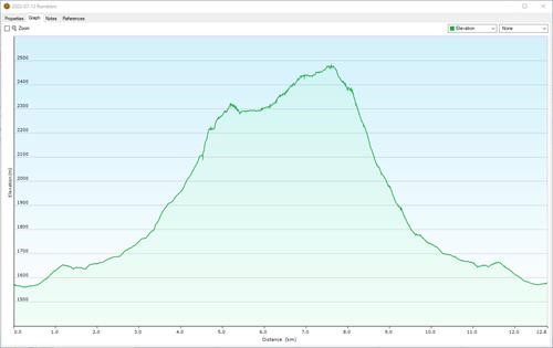
Elevation Profile
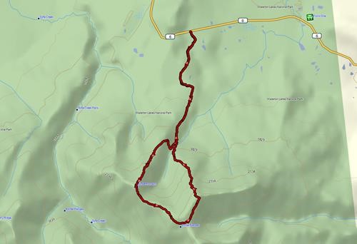
GPS track.