Camp Creek Ridge - Bob Creek Wildland area Off-Trail hike on 22-Apr-2
There was a variety of weather on the drive down to the trailhead including a mix of sun and cloud around Calgary to rain around Priddis Corner changing to a major snow storm with snow collecting on the highway to near Longview and then valley fog approaching the Oldman River Valley. A further obstacle presented itself as we started on the ATV road to the trailhead with a downed Private Property sign which one of our participants noticed and then a chain strung across a fence line indicating Private Property and a phone number below and a "No Hunting" sign. As the ATV track didn't look promising, the group decided to go back to the road and check to confirm this was in fact the right track by driving it and possibly go to the ranch house to talk to the rancher. The drive up the road proved that in fact the ATV track was in fact correct when we arrived at the Bob Creek Wildland parking lot. We had passed a set of ranch buildings and house with a sign "Bob Creek Ranch and Bed & Breakfast" just before arriving at the trailhead parking lot.
At the parking lot there was a sign showing trails in the Bob Creek Wildland park and it appeared that a trail could be used to gain access to Camp Creek and the base of the ridge which would lead to the summit that was to be hiked. Although this would require an additional 200 meters of elevation gain by way of a low pass to Camp Creek the distance would still remain about the same, so the group agreed that this was likely the best way to attempt to do this trip.
The ATV track proved to be wide and by using variants kept the steep climbing to a minimum up to the low pass.
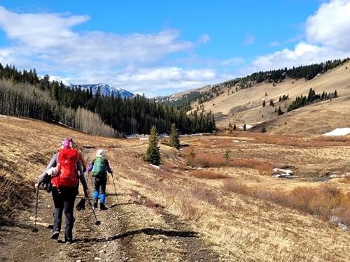
Heading down from the pass to Camp Creek valley
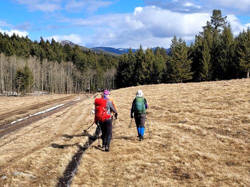
Closer to Camp Creek Valley
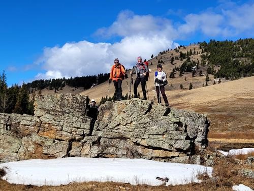
The landmark rock where we enter Camp Creek Valley
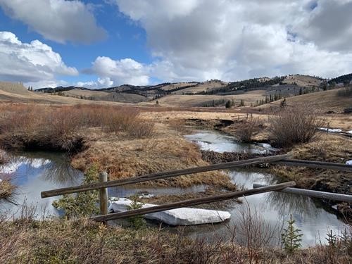
The upper meadows of Camp Creek
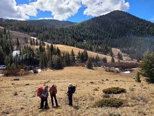
Checking for the Correct Ascent Ridge
Rather than go to the actual base of the ridge , there was a fairly open area on the side which the group opted to climb up to access it possibly 125 meters vertical elevation from the base.
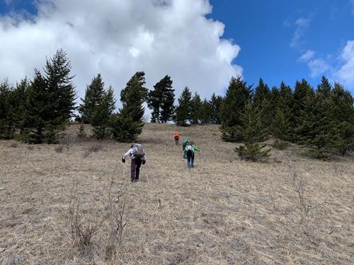
Climbing up to Camp Creek Ridge
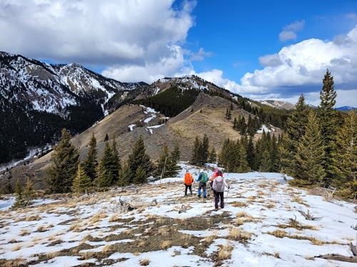
Camp Creek Ridge - Lower Section Ascent Route
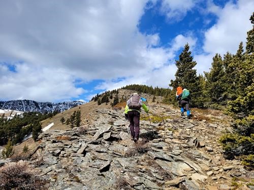
Lower Camp Creek Ridge - Ascent Route
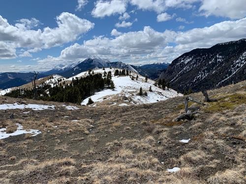
Middle section of the ridge - Thunder Mountain at back
By the summit, the wind had dropped and threatening clouds were massing in the southeast. All were happy to take a leisurely lunch break in the shallow snow and take in the views of the flats of Camp Creek and Oldman River valleys and the surrounding front range peaks. Amazingly beautiful country from this viewpoint seemed to be the concensus of all.
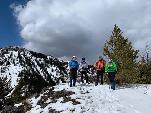
At the summit of Camp Creek Ridge
Shortly, after we started down
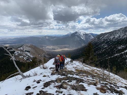
Along the upper section of Camp Creek Ridge
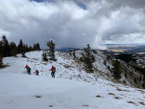
Heading towards the middle section of the ridge
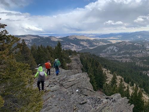
The escarpment along the middle section of the ridge
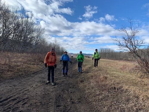
Camp Creek Valley closer to ridge ascended
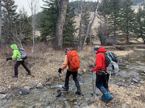
Crossing Camp Creek
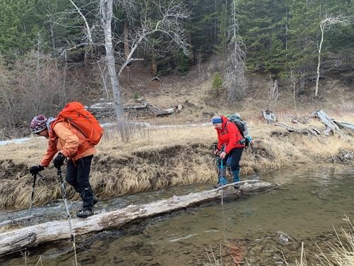
Crossing Camp Creek #2
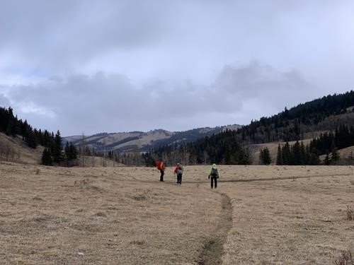
The wide expansive meadows in Camp Creek
As the day progressed, the fluffy snow continued and the coats were getting damp. Fortunately the climb up the ATV track to the pass on this side was gentle but there were banks of snowdrifts to be negotiated, as this was a north facing slope. Most were reasonably supportive but all were happy when the top was crested meaning a downhill run to the cars. We arrived around 5:30pm the same as the original projected time for completion. Most removed their wet coats and we set off on the drive back to Calgary in rather ominous sky conditions. Fortunately, there was no snow and only some rain on the return trip. On the trip down and return trip, the group must have seen well over 500 deer at the side of the road and grazing in fields. On the return trip mainly, there must have been over 200 Canada Geese seen grazing in the fields and on ponds as well.
Thanks to Cristina and Teresa for wonderful pictures of the trip. I have included extra pictures, since this is probably the first time this trip has been done by Ramblers. Thanks to Sim for providing the GPS track and trip stats in case any other Ramblers choose to attempt this trip. It would appear the other route is being discouraged by the Bob Creek Ranch although access may be granted by a prior phone call at certain times of the year. The ATV track would definitely require a high clearance vehicle and possibly all wheel or 4-wheel drive especially in the spring due to muddy conditions
Thanks to all of the participants Sim,Teresa,Jane andCristina for being flexible on the changes to the route to make this trip happen. It was definitely a full day for this time of year, based on Sim's stats and most, I'm sure, were a little tired at the end. There was lots of good conversation on the trip and the views were spectacular along the ridge and summit. This proved to be a good trip for this time of year with limited snow for a greater part of the route. I would recommend the Bob Creek Wildland for Rambler trips as most ridges and valleys are now clear of snow. There is some mud, but a good destination, if one doesn't mind the additional driving.
Today’s stats are: 22.04 km (total distance),
810 m elevation gain,
7 hours, 10 minutes moving time.
Track to come as well as final editing.
Bob C/S