Bath Creek Off-Trail skiing on 26-Feb-2022
Amazing! There was a skier set track to within 500 meters of the second canyon. We completed it to the start of this canyon, the end point for this trip. Who would have thought that,after having to liberate a gate opening to gain access through the fence to Bath Creek, that other people would have made the effort to ski this route. We were able to find out why as you will see later.
We all arrived by 9:30 at the info centre parking lot, even with a significant backup of cars on the highway back to the Bow River bridge waiting to access the Lake Louise Ski area parking lot. Our car simply went down to the Pipestone Trails access and did a U-turn to come back to Lake Louise. The -18C outdoor temperature seemed colder, so some of us used the centre to put ski boots on and use the facilities before starting the trip.
We drove in car convoy first to the actual trailhead parking lot, which had not been recently cleared and then to the CPR access road with a small parking area which had been cleared, about 200 meters further down the road. The start to the trip was a 200 meter walk back to the trailhead parking lot along the highway where we put on our skis. The next obstacle was to figure a way through the gate which is part of the fence to limit animal access to the highway corridor. Terry went to work with an avalanche shovel to dig out the lower part of the gate so we could move it sufficiently to allow each of us to squeeze through.
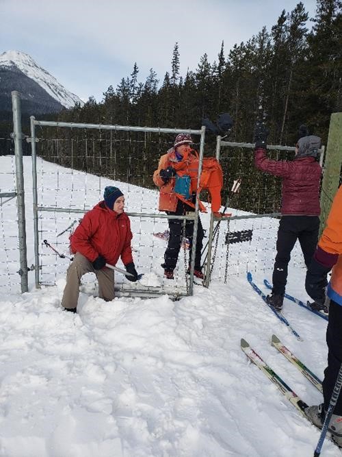
Digging out the wildlife control gate to gain access to the trail
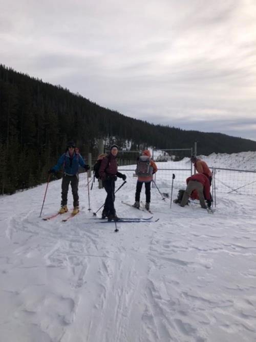
Putting it back together after negotiating the fence gate
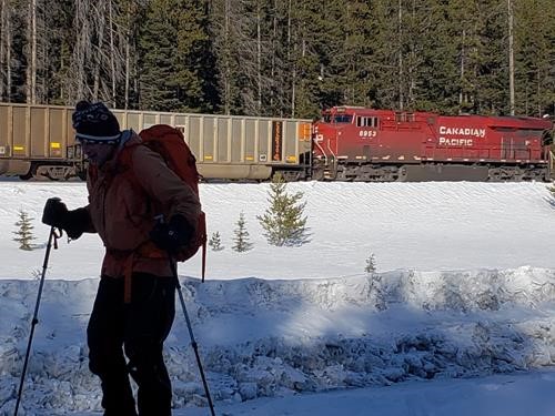
The infamous rail crossing before the trail start
As per Chic Scott's trail description there is a trail for a short distance and then you most go out onto the creek bed to continue. Although the creek was not fully filled in with snow, the trail followed the creek bed except where it pinched in on the sides and there was no snow bridge to move to the opposite side of the creek, thereby forcing us into the trees.
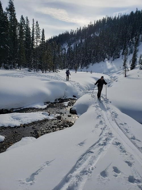
One of the snow bridge crossings on the first section of the trail
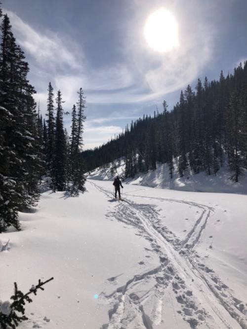
Typical terrain in the first section of the creek
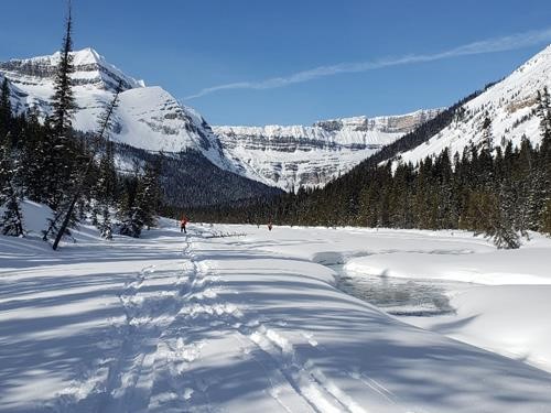
The start of the meadows section of the creek
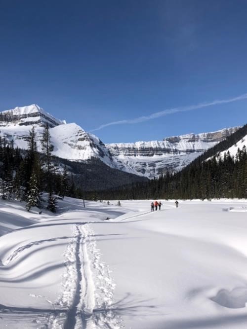
The meadows section
Shortly after lunch and at the end of the meadows, the creek narrows resulting in short steeper up and down sections often through the trees. Most of us skinned up at this point, although one brave soul persisted on special blue wax and made it to the 2nd canyon without skins. Shortly after skinning up, we arrived at the side of the first canyon, a narrow but not too deep affair. Soon after, the creek once again opened up somewhat which made travel easier. Using a snow bridge,the ski track moved over to the west side of the creek as advised by the trail guide. Eventually, we were once again into steep but short ups and downs through the trees as we neared our 2nd lunch spot. The group found a nice open spot in the sun for lunch. This is where the original ski track we had been following ended. We all agreed we wanted to do the trip to the second canyon as indicated in the ski guide, so we decided to continue on. Little did we know that around the next bend, one would be able to see the start of the second canyon, the endpoint of our trip. It is curious to know whether the group that had put in the track before us knew this or not. Anyway, it looked like the best route was on the east side of the creek so Terry who had finished lunch earlier headed out to put in a route on this side. We watched him go into the trees at a pinch point on the bend, Evan decided to try the west side which appeared from our vantage point to be less possible. After he disappeared around the bend and gave a positive yell, the rest of the group decided to follow his track. As we rounded the bend, there was the second canyon entrance just 500 meters from our 2nd lunch spot. Although trail breaking to this second canyon was easy, we were glad to have reached our turnaround point. We took some photos and turned around.
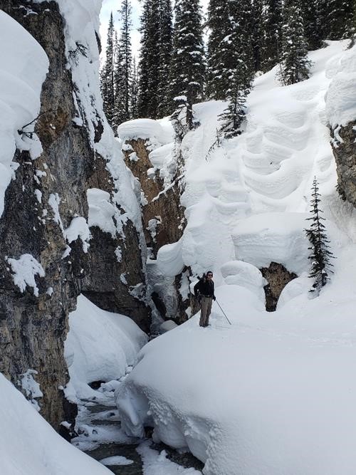
Terry at the 2nd canyon entrance - the turnaround point
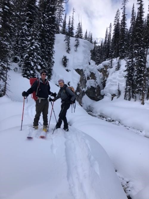
Evan and Inge at 2nd canyon entrance - the other side of the creek
At the 2nd lunch spot on the way back, the route along the east side appeared to be much more feasible and to extend like this for quite a way. As the original route in to this point had been a lot of steep short ups and downs through the trees, we opted to trail beak a new route along the east bank. This proved to be a good decision as the travel was flat and easy. When we moved up into the trees, the route was fairly open. We joined the original route past all of the miserable parts of the west side and continued down the creek. A number of steeper shorter hills were side slipped on the way out. Once the meadows were reached travel was fast and easy with a slight glide on the downhill gradient. Going out, the first section on the way in proved to be almost as fast as the meadow section.
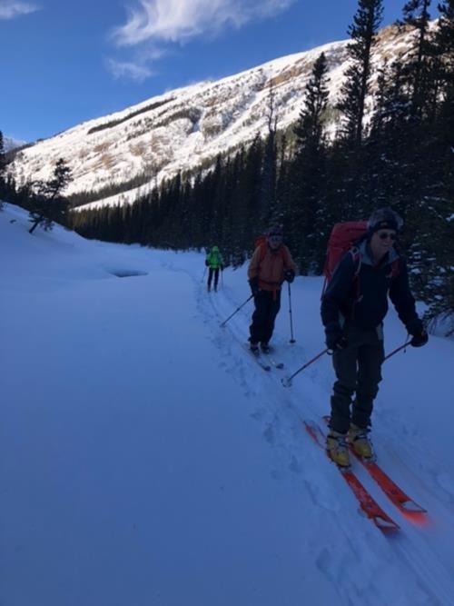
Part of our group returning on the first section of the creek
A couple of comments regarding route information. This trip is currently rated as OT2 and takes 4 hours. This would probably be true if one skied to the end of the meadows and possibly the first canyon. However, shortly after the end of the meadows the route finding becomes more challenging and one is often up on the sides of the creek. I doubt that it changes substantially even in March-April when there is additional snow as the creek bed is quite deep where the water flows. There would still be limited snow bridge crossings. Having skied up to near the first canyon in other years I can confirm this is the case. I believe that the trip should be probably rated OT3 or preferably OT4 and that the time for the route to the second canyon be adjusted to at least 6 or 7 hours. On this trip, there was a ski track existing which definitely saved us a fair amount of time breaking trail and making route selections. Alternatively an additional new trip could be put in for the route to the end of the meadows which would meet the current criteria listed. I note the last Rambler trip was by Ron in 2002 and I suspect they did not go beyond the first canyon. Since this does not seem to be a popular Ramblers trip, this additional trip posting may not be the answer. Regarding avalanche terrain, it is rated Class 1. We noticed very minor slopes on the first section of the route, which might possibly run to the creek in large snowfall years and high avalanche conditions. As the creek is wide at this point and a route can be selected to avoid the base of any possible avalanche run out, it is questionable about this rating..Parks Canada shows avalanche conditions 7 km from the highway. I did not notice any slopes just before the 2nd canyon at creek level. As this trip is 14km. long, one wonders if they mean just above this canyon or on a possible route to traverse around and above this canyon I hope there are some other coordinators who may call this trip to confirm this assessment.
A number of participants commented that this trip is a bit of an unknown or hidden gem. No one else in our party had traveled this valley before and the coordinator had been up to near the first canyon only twice before. It is very worthwhile to ski up to the second canyon.
A big thank-you to Evan and Toshiko for providing photos of the trip. These are the first for this trip in the Ramblers database. Unfortunately no photos were taken of the section of the route from the end of the meadows to the second canyon.Likely this was because it required a lot more ski technique through this section. I guess we will leave it for the next Ramblers trip to possibly provide these.Thanks also to those that undertook trail breaking when required.
Thanks to all participants: Sim, Terry, Inge, Evan and Toshiko for joining me on this gem of a trip. With fine blue sky weather and limited wind except near the end, it proved to be a most enjoyable day for all. Another great day in the Rocky Mountains..
Bob C/S