The Fortress via Headwall Lakes Scramble on 5-Sep-2021
We had a fine day, a little windy at the top, and long distance views somewhat obscured by smoke.
We set out from the Chester Lake parking lot at 9:15, taking the lower of two routes to Headwall Lakes valley. Every year the trail up the left bank of Headwall Creek gets more and more worn (making it easier). A little detour near the treeline leads to a view of a waterfall.
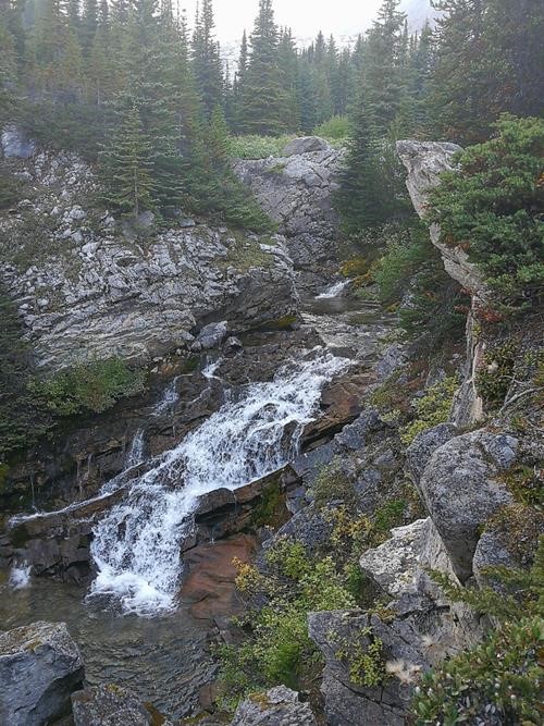
Waterfall below Headwall Lakes - photo from Bill
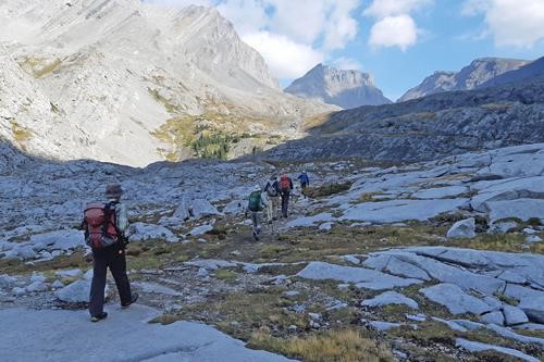
First views of The Fortress from Headwall Lakes valley
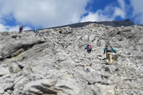
Clambering up the "ramp" to The Fortress (bypassing the col)
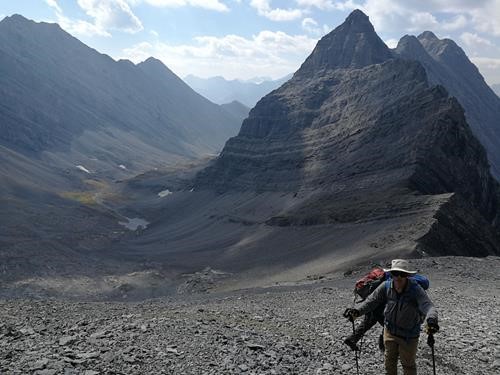
Climbing up to The Fortress (Headwall Lakes valley in bkg) - photo from Bill
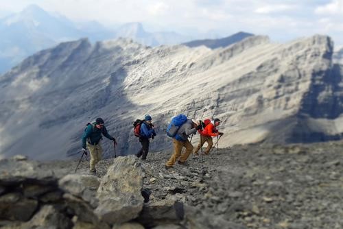
Fighting the wind up to the summit of The Fortress
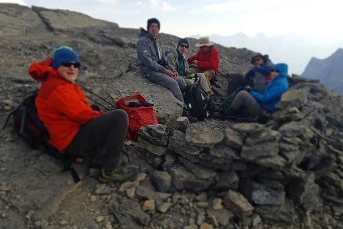
Quick lunch at the summit of The Fortress
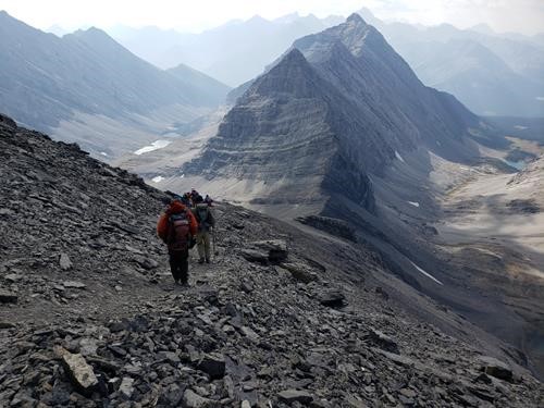
On the way back there was quite a traffic jam on the Tranc Canada starting at the Hwy 68. Brian showed us a good detour on the next road north that took us nicely to the PetroCan junction (where we had picked up Brian and Bill).
18 km with 1100 m ascent, a little under 7 hours.
Many thanks to participants: Bill (photos), Jane, Lenard, Gary, Rob, and Brian (photo) for joining me, Carl (C/S).