Burns Lake via Arethusa Cirque & pass 447071 Off-Trail hike on 2-Sep-
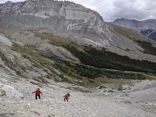
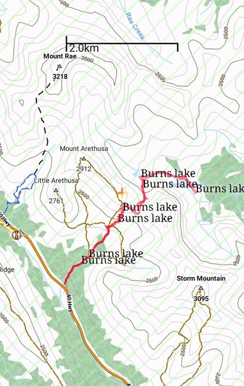
This trip was new to all of us and turned out pretty good with some sun, some cloud, minimal wind and temperatures that maxed out about +10c from a cool +2c start. This was good as the climb up each side of the access col above Arethusa Cirque was steep on loose rock (though I've seen worse). The trip seemed much more than the database 5km, 520m and 4 hours. Two GPS's measured about 9.0km and 1000m elevation gain in 6 1/2 hrs car to car. Definitely worth the effort and we did not hurry.
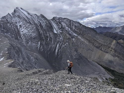
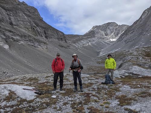
Due to Calgary Ring Road construction, one member was a little late at the trailhead, but we spent some of the time talking with 8 members from the Slow and Steady meetup group who were planning to scramble Mt Arethusa. Both groups set off to Arethusa Cirque at 9.20am in cool +2c temperatures. We warmed up by the time we reached a creek crossing at the low end of Arethusa Cirque. The S&S group picked a rather direct line up to Arethusa col, but, aided by Ernie's GPS track, we found a better rough trail which led steeply to the col. Here we took in the views which included Mt. Storm to the south.
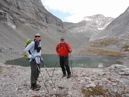
We soon found another rough trail heading down the drainage in the direction of Burns Lake. About halfway down we visited small Blayney Lake with a small waterfall nearby.
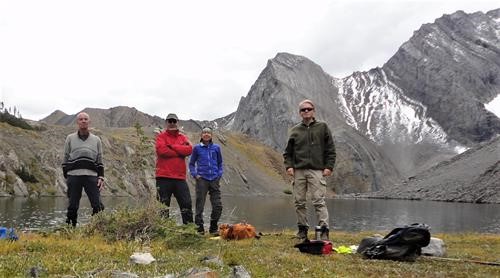
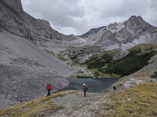
Since I mentioned one in the trip description, Jim insisted that we had to find a waterfall. In fact we found 3, but the never went low enough to find the main one below Burns Lake. We continued down to Burns Lake on easier ground and enjoyed lunch about 12.30pm by the calm shore of picturesque Burns Lake. These lunch meadows made excellent camping spots with an abundance of larch trees nearby. There was evidence that it could be windy.
After lunch we wandered over to a bench overlook but the Burns Creek and the more distant Sheep River looked rather bleak. Photos taken, we started back up. This was a steady grunt, but we emerged at the Arethusa col to see the S&S group also descending down Arethusa's ridge. We reconnected in Arethusa Cirque meadows. Rockfall could have been a problem, but we were well spaced and surprisingly, few rocks got rolling.
We arrived back at the cars by 3.45pm to enjoy a small celebration with the S&S group. They were rightly pleased to have made the summit of Mt Arethusa and returned safely. We also enjoyed the remoteness of Burns Lake, but it would be a struggle to get there with a backpack and fishing gear. The drive home was uneventful.
Participants: David C, S & P,Jim,Ernie,Ulrike P.
