GDT section E: Nigel Creek to Owen Creek Trail hike on 23-Aug-2021
Although this 4 day/58km backpack along the Great Divide Trail (GDT) from Nigel Creek to Owen Creek turned out to be more challenging than expected, I believe that we all enjoyed it. I certainly did.
We hiked the first day over Cataract Pass in wet snow.
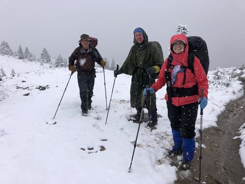
Nigel Pass on the GDT Section E backpack
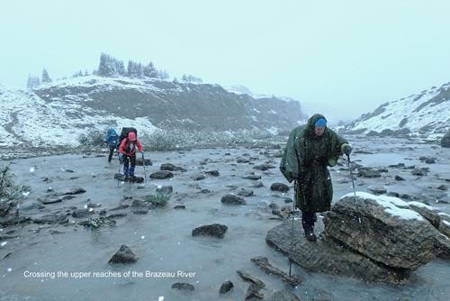
David, Jane and Barb crossing the upper reaches of Brazeau River
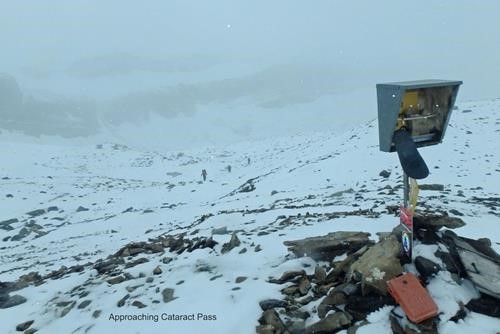
Last steps up to Cataract Pass
The second day's hike enjoyment essentially following Cataract creek downhill to camp at Pinto Lake was marred by much deadfall, but was compensated by some good views of the mountains immediately east and some ochre pictographs.
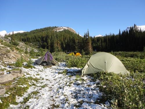
Campsite on south side of Cataract Pass at 8.40am of day 2 of GDT backpack
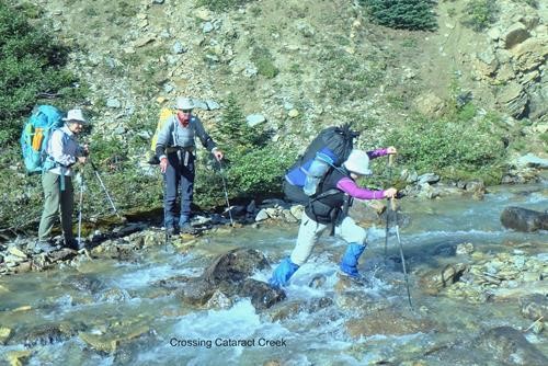
Crossing Cataract Creek shortly after breakfast
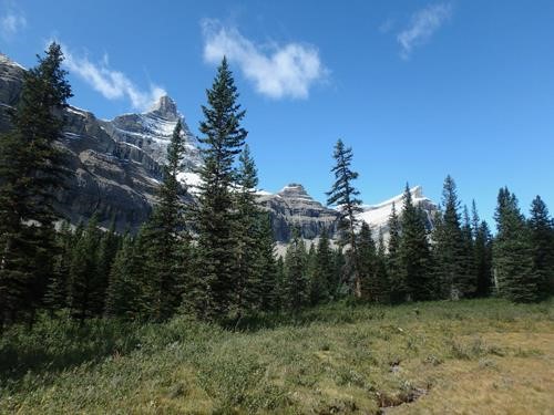
Meadows near Cataract Creek (peaks are likely outliers of Cirrus Mtn)
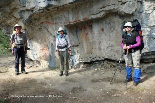
Pictographs off the Cataract Creek trail
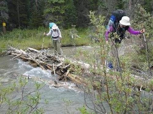
Crossing the Huntington Creek on the GDT near Pinto Lake
Day three involved a climb over the GDT's highest Pass (2590m) and extensive 360 deg views including Mt Cline to camp at scenic Michelle Lake. Since the weather was clear and sunny, this was our best day (IMO).
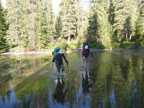
Crossing the Cline River near Pinto Lake on the GDT Section E
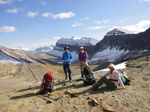
View south from peak 2590m on the GDT Section E
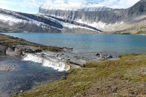
Upper falls draining Upper Michelle Lake
With a poor forecast which included some rain for the afternoon of day 4 and potential day 5, we decided to walk out down Owen Creek on day 4. But not before we had visited the equally scenic lower Michelle Lake complete with waterfall.
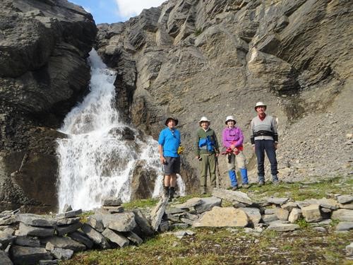
Ramblers at the lower falls of Michelle Lake on the GDT Section E
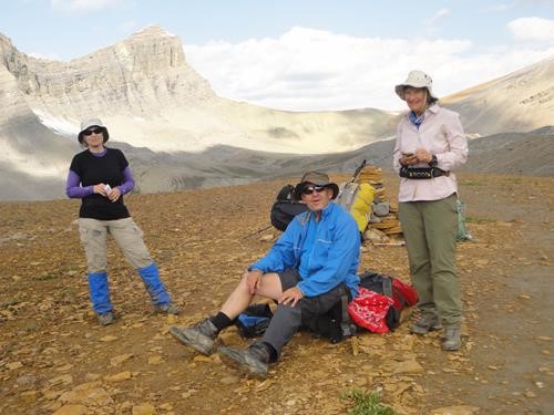
Pass at the headwaters of Owen Creek on the GDT Section E
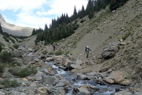
A relatively modest section of the trail descending Owen Creek
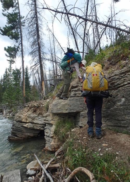
Do we have a TL5 designation?
We were back in Calgary about 9.30pm.
A great trip thanks to the harmonious participation by: Carl,Jane,Barbara, from C&S David.
More photos of our trip are available here: GDT Section E, Aug 2021
Some stats: 58km was measured from the GDT App. Elevation gain estimated at 2000m. Days 1-3 were about 9 hours each, day 4 down Owen Creek about 6:30hrs. Temperatures varied from about -2c overnight to +12c shade in the day. My pack weighed about 13kg (29lbs) at the start and 10kg (22lbs) at the finish. Others' packs were heavier. We are all aged over 60.
Having supper at 7.00pm at Pinto Lake we met one young guy who had come from highway 11 that day (Owen Creek TH) 25km (~1400m gain) and was hoping to cover another 10km that day. We took 2 1/2 days over this.