Black Rock Mtn L/O Trail hike on 7-Aug-2021
We had a fine day in spite of a fair amount of smoke and quite a bit of wind. Two participants had not done this trip before and I was reminded that it is worth doing more often.
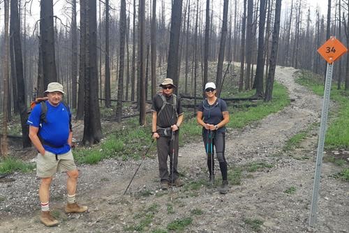
Based on beta info from Margot and Lenard we elected to drive down the hill and to the bottom of the trail. This turned out to be fine in an SUV, and we also saw several two wheel drive vehicles that had managed it. I drove a little too far, and we didn't return quite as far as we could have until we saw an inviting route to the old river bed. That added maybe a km to our hike. For the record there is currently a big red diamond sign with a 37 on it at the best place to park (the first photo shows the type of sign).
We set out around 9:45 and fairly quickly were on the start of the trail as it climbs up from the river bed.
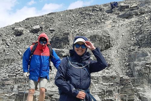
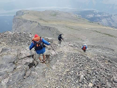
From there it was a pretty straight forward walk through the recently burnt out forest. Where the trail tops the tree line (a few isolated healthy trees remaining) we were in pretty heavy wind as the trail first follows the west ridge. The wind was less of an issue for the most interesting phase of the hike through "gargoyles and gullies" before toping out at the first plateau.
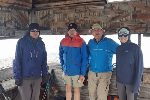
From there we climbed up to the next plateau and were then somewhat dismayed when the summit cabin is finally visible but seems to be another hour away. In the end the faster group were up in roughly 25 minutes. Another party of two arrived at the summit between our faster and slower hikers and took this photo for us.
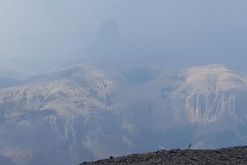
It was quite windy and cool at the summit, all were actually kinda happy to be cool/cold for the first time in months. The smoke was still quite thick and we did not have the wonderful views of Orient Point, Costigan, Aylmer and Devil's Head that we deserved.
Two additional parties that were about one and three hours behind us would actually have had much better views as it did clear up quite a bit eventually. The trip down was relatively uneventful.
Until we ran into Gillean and Tony Daffern at the bottom of the trail on the way back! They were exporil new routes in the Ghost Valley for the upcoming fifth edition of the Kananaskis guidebooks. We were back at the car around 3:30 having done 12km with 900m of ascent.
Many thanks to participants Ross, Brian, and second trip Rambler Deb for joining me, Carl (C/S)
