Mt Burke Trail hike on 6-Jul-2021
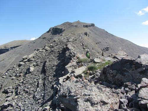
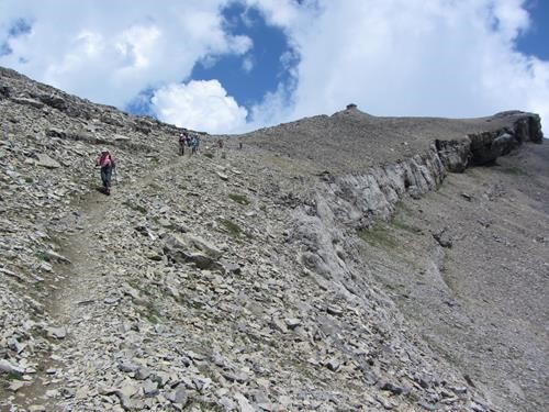
The overcast skies leaving Calgary did not bode well for our trip but by the time we arrived at the trailhead it was mostly sunny, a situation enjoyed for the rest of the day. It was somewhat humid as we climbed the cutline and our sweat did not evaporate easily. Once on the switchbacking trail it was in good shape and we made good time to the treeline. Bill had taken an alternate route along the creek following the original route via Salter Creek and reported the 2013 floods made a fine mess that was difficult going until the trail was reached. Once in the open we were rewarded with fine views to the west of the High Rock Range, although the humid conditions made it a little hazy. A bit of a breeze made it very comfortable for hiking. Eventually the destination showed itself:
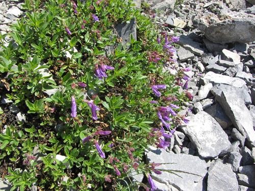
There was not much in the way of alpine flowers but there were a few scraping out a living among the rocks:
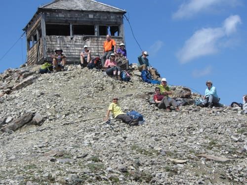
At the top, an often windy spot, there was only a refreshing light breeze from the west which allowed a leisurely lunch:
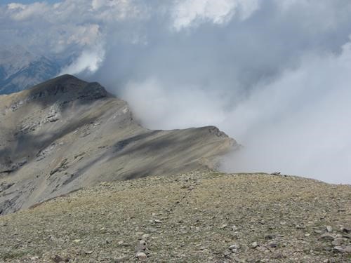
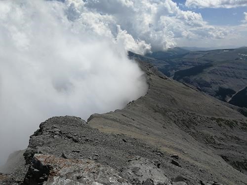
As we were there there were more clouds forming and we were witness to the phenomenon where the vapour condenses to mist in the lee of a ridge and then rises up above the ridge:
But these were benevolent clouds that stayed to the east and didn't sully our views to the west as we descended:
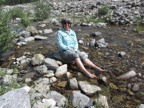
We took an extended break at tree line before descending the switchbacks and chose the alternate trail that was used post-2005 flood, it requires paying attention because parts have been undercut by the subsequent 2013 flood. It does present the opportunity to refresh tired feet when it gets down to creek level:
All-in-all, better weather than expected, which made for a very enjoyable day for participants: Ron C/S/P, Bill (photos), Barbara, Jim, Brenda, Aldis, David, John, Barb, Teresa, Jane and Ross.
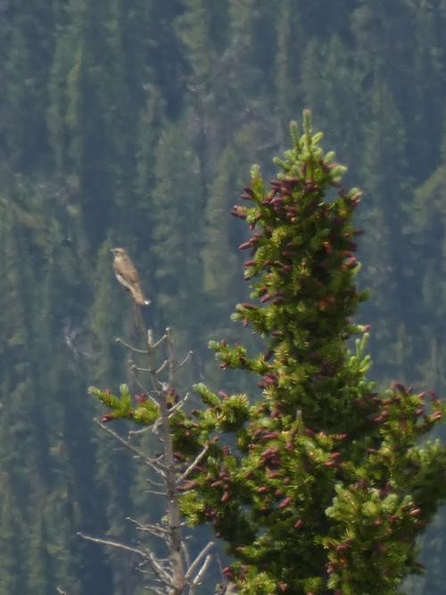
Fauna report: Bill identified this solitaire:
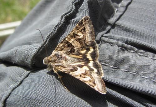
There were lots of butterflies flitting around at the top and at our stop near treeline this one alit long enough for a portrait:
