Compression Ridge 436380 Scramble on 17-Aug-2020
The forecast: hot & sunny. Yet it was cloudy and rained on the early morning drive to the trailhead. We knew the overcast skies wouldn't last as we started up Prairie Creek, attempting a new route heading west all the way to the base of the north end of Nihahi Ridge. On the way we came across a large meadow, revealing the long ridge we were aiming for.
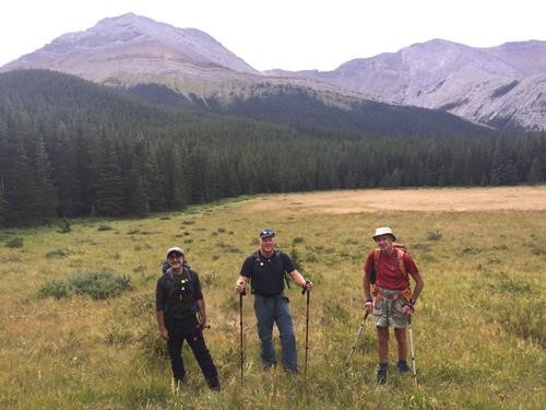
Jag, Simon, and David in the meadow
We followed the dry drainage westward, with light bushwhacking, then turned south and followed the ridge.
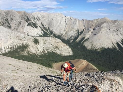
Ascending North Nihahi Ridge
After a brief rest break at the top of Nihahi Ridge's north (true) summit, we descended to the western col and started up the broad twisting slopes around Compression Ridge.
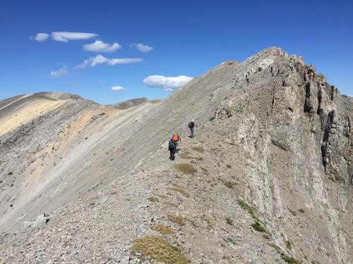
Starting up Compression Ridge from the col
As the ridge starts to turn northward, we could clearly see our approach route from Powderface Trail to the "meadow" and all the way through the forest to the start of Nihahi's north ridge.
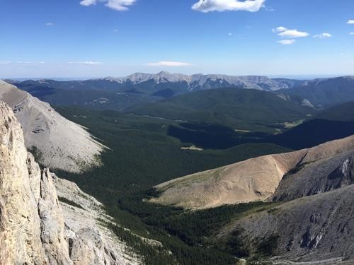
Upper Prairie Creek approach to northern-most portion of Nihahi Ridge, in sun at right
After 4 1/2 hours we started getting hungry for lunch, so stopped at a high point. We ate on the lee side of the ridge to avoid the gusty west wind. From there, we could see that we still had a very long way to go to reach the summit via many ups and downs.
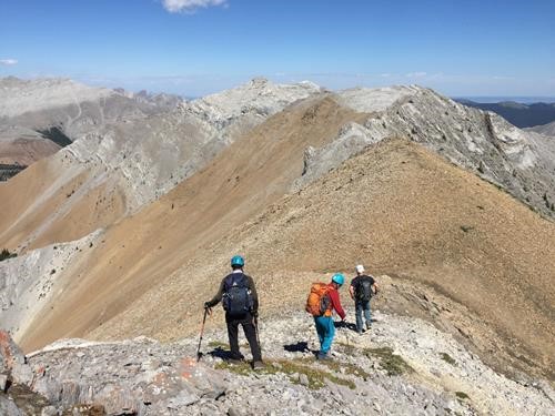
Post-lunch ridge section with summit in distance, center
So far, there wasn't much scrambling, but that was about to change.
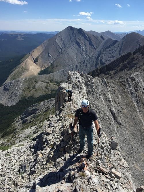
Compression Ridge starting to get more serious
Strong gusting wind was our biggest concern, even though we appreciated its cooling effect. Despite the original plan to go around a narrow fin, it looked too enticing to pass up, so up and over we went.
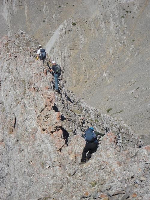
Going over the narrow fin (photo courtesy David)
After a few more successive narrow ribs, we finally reached the summit of Compression Ridge.
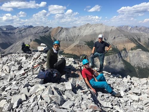
Jag, David, and Simon at the summit, Mount Bryant behind
Our next objective was to visit the 2 famous windows along the NE ridge. David found the first window, though the rest of us went over top it unawares.
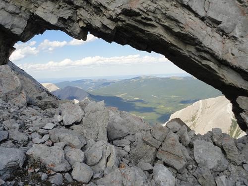
First window (photo courtesy David)
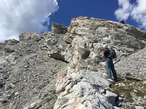
Scrambling over the window
We circumvented some pinnacles as we headed down the ridge towards the second window.
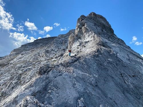
Tricky route-finding on Compression Ridge (photo courtesy Simon)
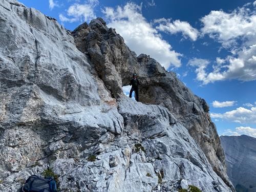
Jag at second window (photo courtesy Simon)
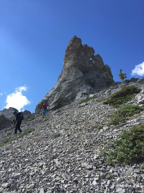
Second window from the other side
In reference to scree, when we saw the "brown", we went "down", then went through a break in the trees, continuing to drop all the way into the forested upper drainage.
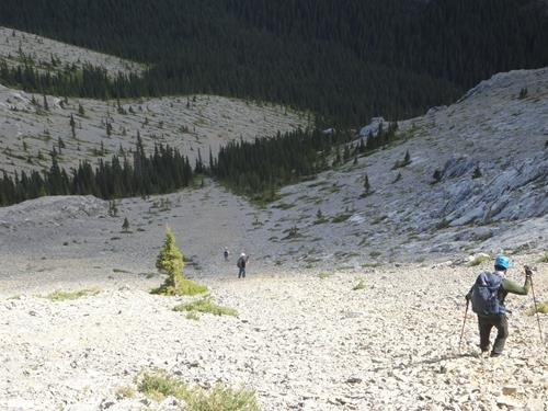
Scree descent (photo courtesy David)
We bushwhacked our way back, finding various game trails, until we came to the hiking trail that brought us back to our cars 10 1/2 hours later.
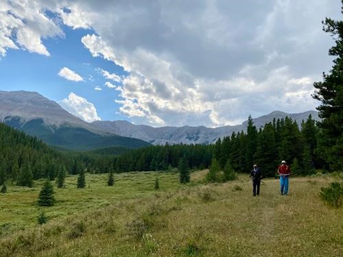
Almost back, with Nihahi Ridge on left & Compression Ridge behind (photo courtesy Simon)
Our particular route left out the north ridge section that drops down into Canyon Creek, and was 17.5 km, with 1,370 m total elevation gain (915 m net).
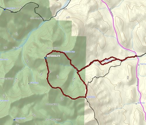
Compression Ridge route
Brian, Coordinator.