Mt Romulus 415280 Scramble on 13-Aug-2020
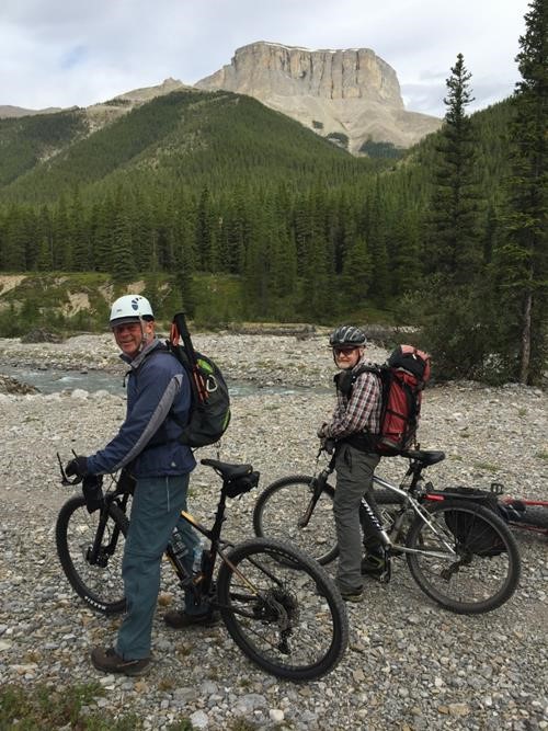
We biked the Little Elbow trail 12 km to the Romulus backcountry campground in about 75 minutes.
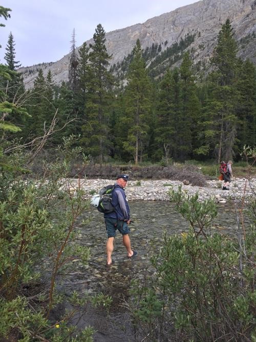
After stashing our bikes in trees to the north side of the campground, we walked the short distance down to Little Elbow River and easily crossed, thanks to low water levels.
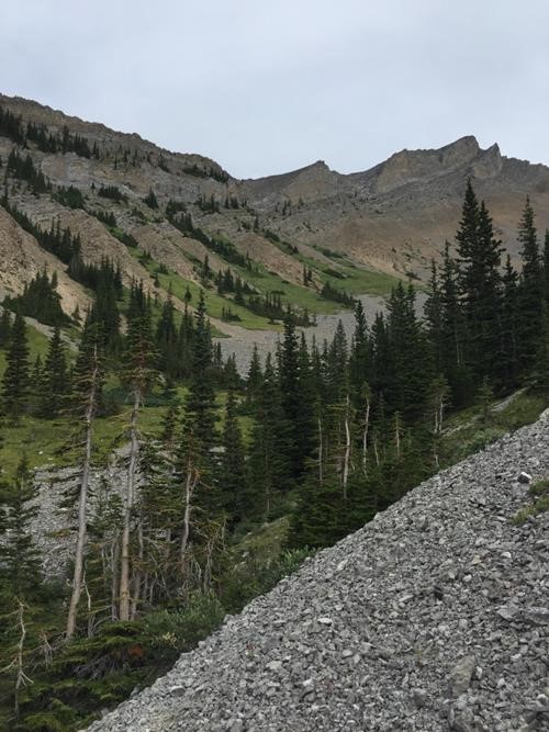
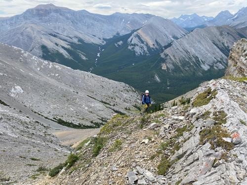
We followed a good trail west for about 1 km to a drainage, then followed the right (east) bank up the valley to the north. Views started opening up and we could see a couple of gullies emanating from the SW ridge, potentially enabling us access routes to the ridge.
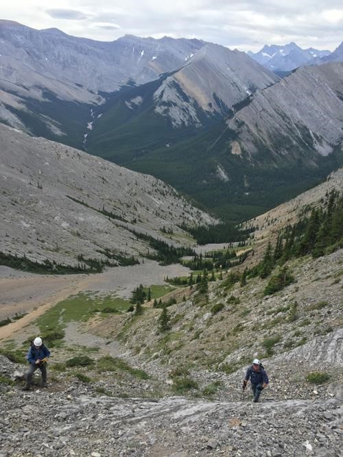
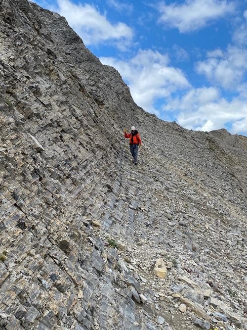
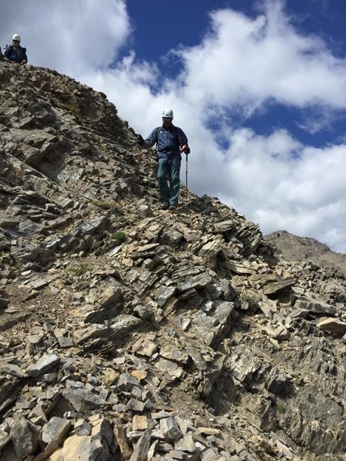
We started up the first one and negotiated steepening scree and ledges on our way.
Most of the day's scrambling took place here.
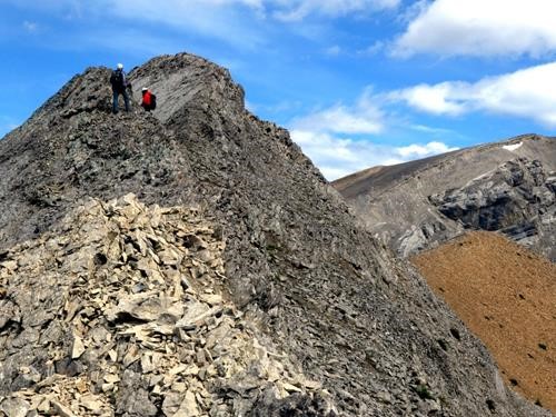
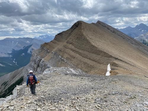
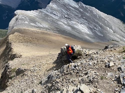
The ridge ascends then drops down to a col, with only a couple of downclimbing sections.
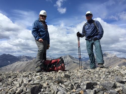
A final wide ridge walk brought us easily to the summit ~1,100 vertical meters from the campground.
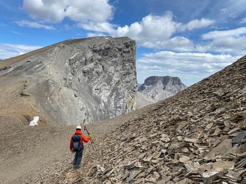
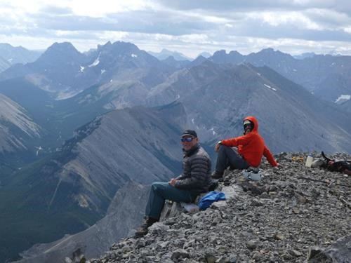
After enjoying the views, we started back down. But instead of returning to the grey limestone high point along the SW ridge, we aimed for the top of the brown shale.
From there, we traversed below a cliffy area to reach the SE ridge.
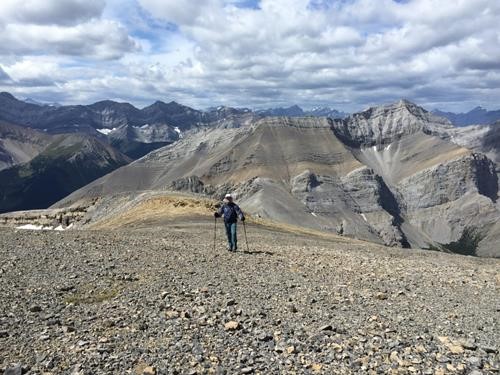
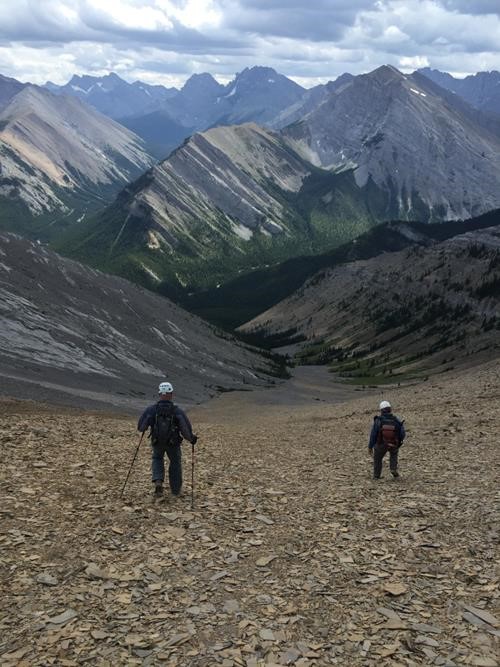
We descended the ridge to where the flat crunchy brown shale offered a quick & easy way to lose elevation.
We caught up to the trail lower down that brought us back to the river. We retrieved our water shoes, crossed through therapeutically cold water, got on our bikes and sped down the wide trail. En route, we ran into (not literally) some Ramblers / Elbow Valley cyclists finishing up their Elbow Loop day trip. After 40 minutes on our bikes, we were back at the cars, celebrating the day's awesome adventure, which took just over 9 hours. My special thanks to participants: Bill and Simon who made it possible.
Brian, Coordinator
