Indian Graves Ridge - Gardner's Ridge to Gate Off-Trail hike on 14-Ap
There was a lot more snow than I would have anticipated for this trip with sections of post-holing , thankfully not very long. It would appear that the snow storms which Crowsnest received in March/April extended up to this area as there was a fair amount of residual snow especially in the sheltered north facing slopes. Adding to this, was more recent snow probably having fallen in the past few weeks.
The south facing steep slope up to Indian Graves ridge was totally clear of snow.
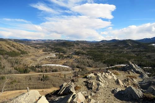
view of Indian Graves Campground and our cars at the trail head
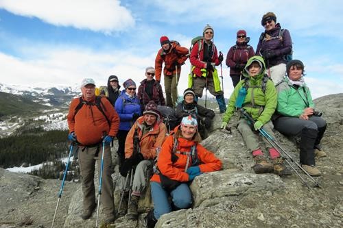
at the first high point on Indian Graves Ridge
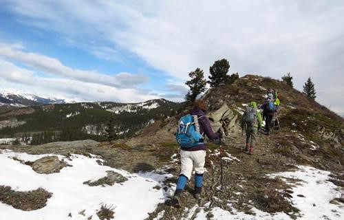
hiking along Indian Graves Ridge
The snow on top of the trail made for a slower trip as we had to check that we were still on the trail on a regular basis - lots of animal trails which made for confusion as well.
The trick to doing this trip is to stay close to the fence which the trail parallels for most of the distance to Gardener's Gate. The coordinator added a small additional loop when the group managed to cross this fence line, possibly to more closely follow the ridge line for views. Fortunately, the mistake was discovered and using a combination of map and GPS this problem was soon rectified. The most challenging route finding occurs within one kilometer of the gate where the trail veers away from the fence to climb over a ridge and heads back toward the fence line . Daffern's instructions, we found to be a little vague until we realized that the trail was in fact being described as doing this.
The trip ended up taking longer than originally anticipated due to route finding and the snow. It took us until lunch to get to the well-site.
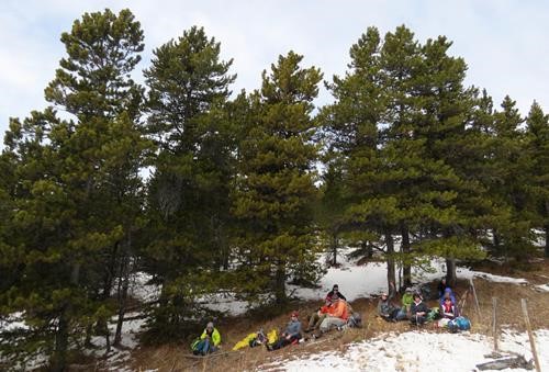
lunch spot
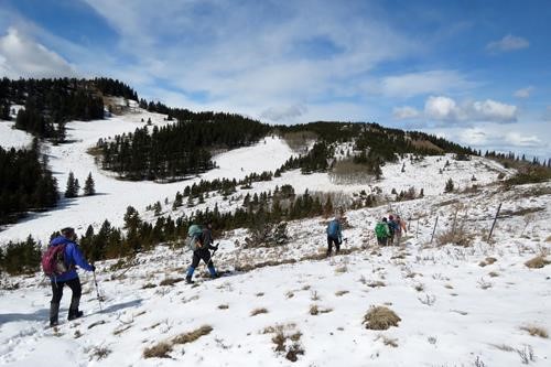
continuing along Gardner's Ridge
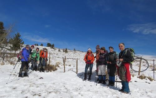
at Gardner's Gate
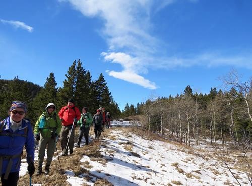
returning along Indian Graves Ridge
This last part was uneventful with the group arriving at the cars around 5:45 pm.
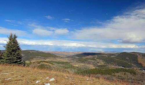
view from Indian Graves Ridge
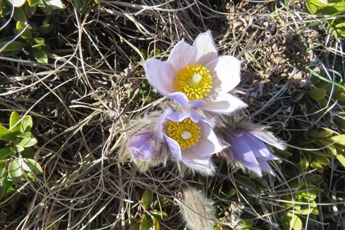
crocuses on the steep slope down from Indian Graves Ridge
A thank you to Andra for providing photos.
Stats for the hike as provided by Barb's GPS, areTotal hike distance (return): 15.65km
Distance from start to Gardner’s Gate: 8.5km
Return from Gardner’s Gate along fenceline & direct to cars: 7.15km
Moving time: 5 hours 17min (Stopped time: 2 hours 34 minutes, but includes some time getting organized to set out from the road)
Net elevation gain: approx. 330m Cumulative climb: approx. 475m
Thanks to participants: Arnold, Mohsen, Nancy, Manfred, Douglas, Janice, Inge, Barb, Krystyna, Deborah, Andra and Janet for joining me and the assistance with route finding. It was a satisfying day out with a good workout and new to many who had not been in this area before. Although the wind was cool at the start, the weather ended up being quite nice towards the end of the day.
Bob - c/s/p