Lost Knife Creek Hills Off-Trail hike on 5-Apr-2019
None of the group of nine had done this trip before. It is a "sleeper" of a trip with interesting rock formations on the north ridge and a nice open ridge walk on the south ridge.
The area was covered in high fog/haze as we prepared to start the trip. We hoped it would clear for better views as the day went on, which it did.
The least interesting part of the trip is the walk along the OHV road to the Lost Knife creek drainage which provides access to the base of the north end of the north ridge. The road was dry in some places and muddy in other parts. We decided to get this part over first. The group endorsed the idea of doing a loop along the ridges for the return trip.
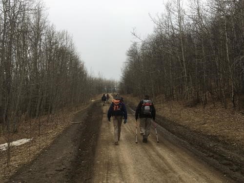
A Drier Section of The ATV road into Lost Knife Hills
The creek drainage was reasonably open to the base of the ridge.
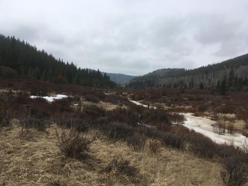
Lost Knife Creek Drainage
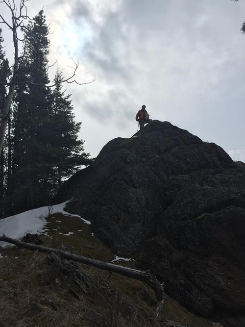
Coordinator Playing King of the Castle
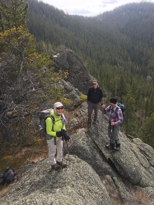
Coordinator Overthrown by New Leadership
After lunch, it was on towards the summit. This proved a little further than expected but was worth the elevation and hike. I have sensored what was found on the signage at the summit - a little risque. If you need to know, you will have to do the trip.
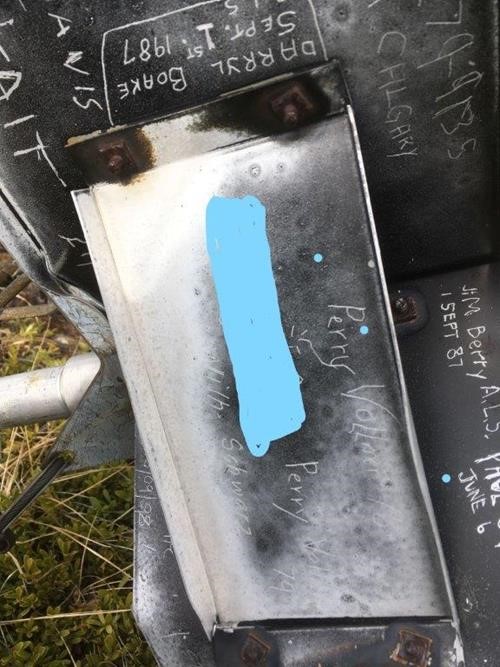
What was Found at the the Summit - Censored as per Request
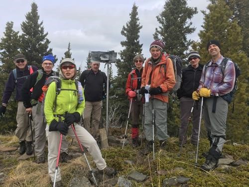
Group Photo at Main Summit
We next set off to descend the south outlier ridge to be able to then climb directly the second ridge/hill further south by its north outlier. Things went a little off-track here. Somehow the group ended up descending the southeast ridge, while the coordinator was socializing and not reading his paper sheet with the route. This was not discovered until we got to near the base of this ridge, and there was no road to be found. One of the participants indicated his GPS displayed that we needed to head more westerly to get to the road.Upon examining the map,the coordinator saw the error of his/our ways.
As the group was further east of the second ridge to be ascended, it was decided to ascend the easterly side to get to the southern most hill/ridge. This decision created a bit of a significant bushwhack due to the slide alder about the midpoint area of the ridge. Snow underneath because of the easterly aspect did not help matters either as footsteps had to be placed carefully where the slope was steeper. Eventually using a route with fir trees overhead (thereby nixxing the slide alder), all but one our group made it up to the ridge line top. The one that did not come up at this point took a more convoluted route which paralleled the ridge line with a slight rise as we verbally DAY-OHHed with them on their progress.Eventually they too, topped onto the ridge. Once we had a chance to talk with them, they indicated that the bush was not really that bad. Sounds like a prime candidate for some of my future lengthy off-trail trips to summits where bushwhacking is unknown and can be challenging.
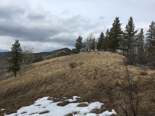
South Ridge Looking North
I did take a look at the north outlier to the south hill/ridge and it did seem to be a cleaner route up than the one the group used. Oh well, maybe next time.
Stats: Distance 14km. Elevation Gain: 630m.
Thanks to Chip and Brian for providing photos of the trip.
Thanks to all participants: Sim,Terry,Yolande,,Brian,Clifton,Chip,Harold,Ross for joining me on this new trip for the coordinator. Its always nice to get out on a Friday particularly when it is a day off.