Edith Cavell West Ridge Scramble on 29-Aug-2003
We had to do a little negotiating with the house- parent in order to accommodate all our crowd; but basically we had one cabin to ourselves which was just as well because we woke up at five am in order to be on the trail at six. The houseparent complained that we were making too much noise clumping around in our boots. I must admit that we were certainly enthusiastic about the possibility of climbing EC.
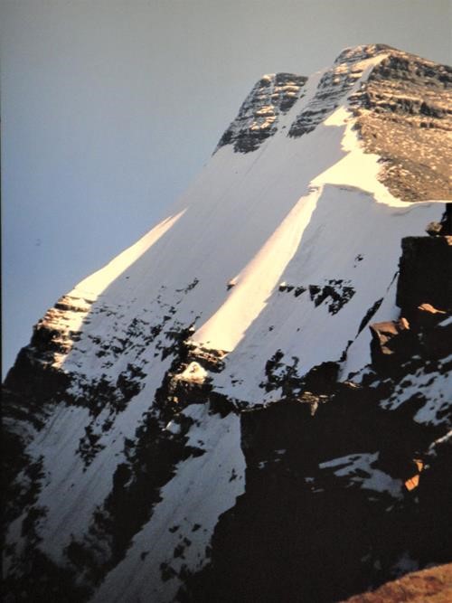
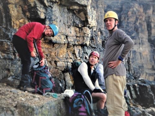
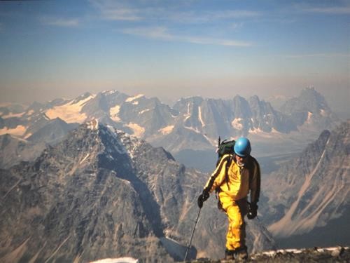
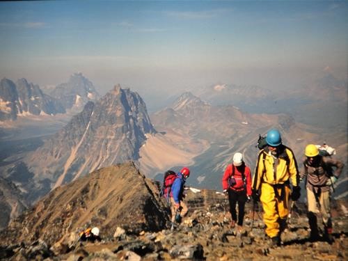
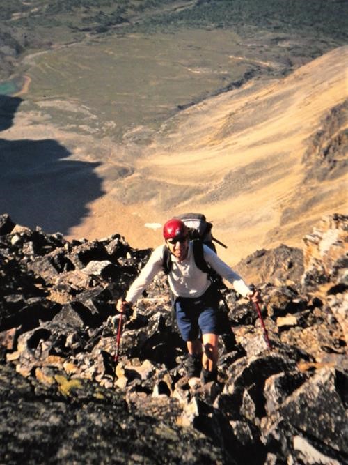
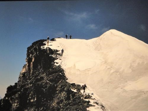
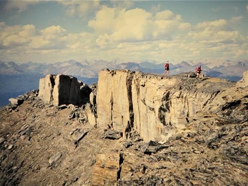
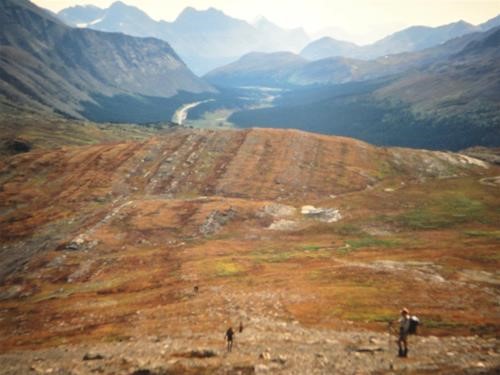
We hiked along the Tonquin Valley Trail until we came to the Verdant Creek cut off. This trail angled up steadily until we came to the cirque leading up to the first section of the West Ridge. Apart from some loose rock there was no difficulty and no objective danger. We kept a steady pace and summited at 12:58. We stayed until 1:30 and made our way down.
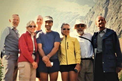
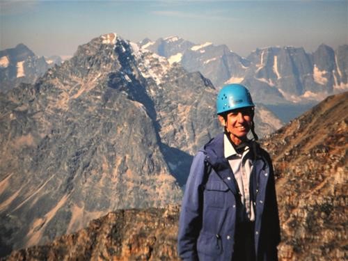
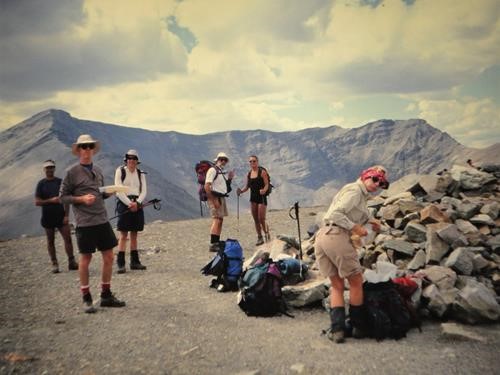
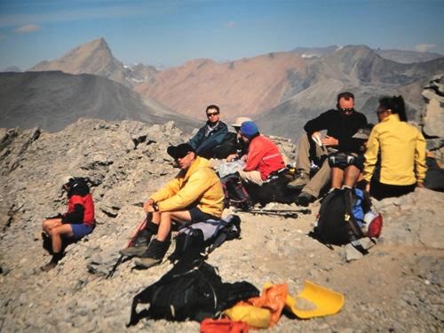
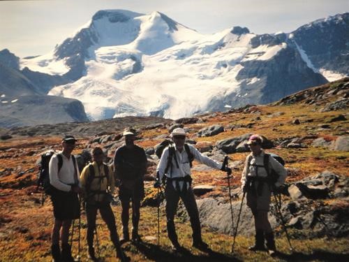
As we ascended (11 am) we met a superguide from Canmore who climbed the East Ridge and started at 5 am. Another climber caught up with us just before we summited-just in time to take group pictures.
The total trip took 14 hours. Most of the trip was in daylight. Wonderful weather-an absolute dream come true. We had perfect conditions and the views were fabulous.
On Sunday we climbed Indian Ridge and Monday, Mount Wilcox. The above by Christine.
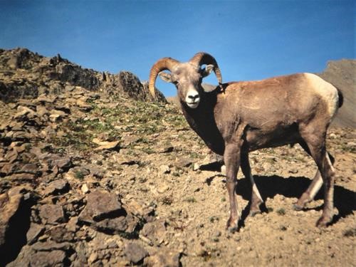
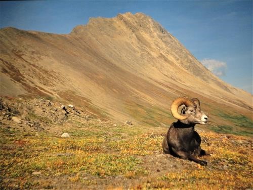
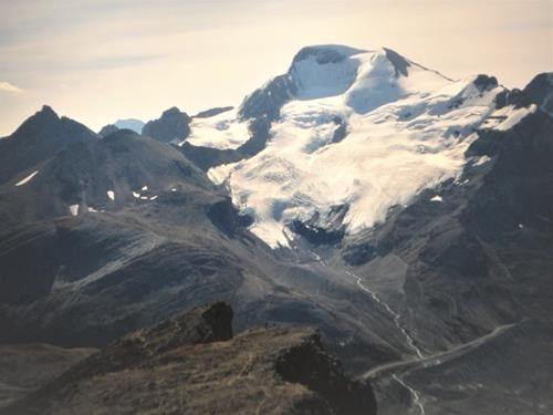
Additions by David 2003: Although EC was a major accomplishment and turned out to be much easier technically than expected (recommended rating SC5), I especially enjoyed the magnificent views from Mt. Wilcox. We were directly above the Icefields centre and had extensive views of Mts. Athabasca, Snow Dome, Bryce, Stutfield, Woolley, Diadem, Alberta to name a few. Wilcox Pass, only 1.25 hours from the road on a good park's trail, is a magnificent environment with many almost tame sheep wandering about. The views of Athabasca are also good from here. Highly recommended. Thanks Christine.
In April 2020: David deleted the "blank photos" from the original 2003 report and added digitized slides now in the database.
