Complete Traverse: Peyto L to Wapta L Ski mountaineering on 17-Mar-20
Day 1. Highway 93 to Peyto Hut.
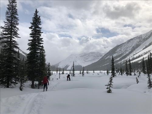
After leaving a shuttle vehicle at West Louise Lodge, we drove to the start of the trip 2.6 km north of Bow Summit and set off through the trees in the direction of Peyto Lake. The weather forecast had been calling for snow and overcast skies, but we were pleasantly surprised with sun and 15 cm of fresh snow. In the far distance, we could see a guided group ahead of us, who kindly broke trail all the way to the Peyto Hut. No crevasses were visible along the route, and snow coverage was above average for the time of year, with 2.4 m at the glacier toe, and 2.7m near the hut.
Total distance: 11.3 km. Cum ascent: 929m. Cum descent:315m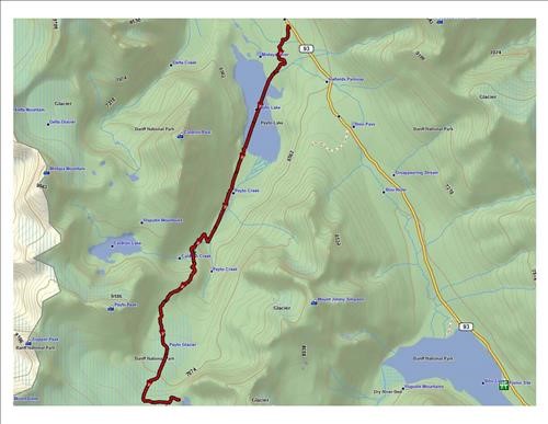
Highway 93 to Peyto Hut Track
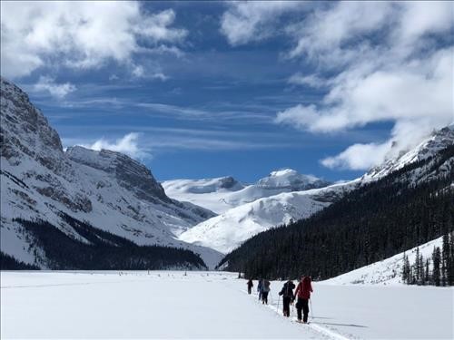
Crossing Peyto Lake
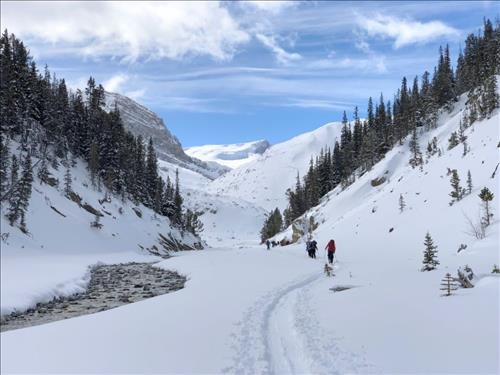
Peyto Creek. Good snow coverage
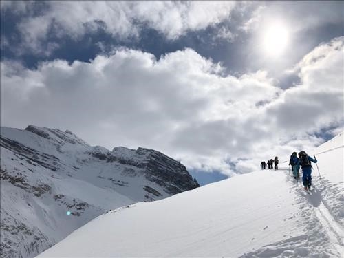
Ascending the moraine.
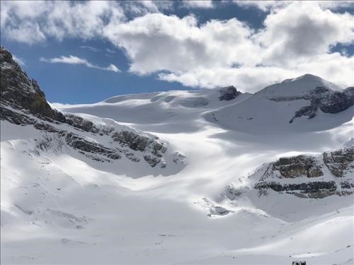
Peyto Glacier
After a very comfortable night, we awoke to a complete whiteout, that almost obscured the outhouse 20m from the hut. After carefully reviewing our way points, we headed off in the direction of St Nicholas, which finally emerged from the mist after about 3 hours. In the distance we could see another party ascending the Olive/St Nicholas Col which might provide us with some useful reference tracks for the ski down to Balfour Hut. However, after following the tracks down for a few minutes it became obvious that the group was actually heading back to Bow Hut, so we had to skin-up for a short distance to get ourselves back on track.As we descended the Vulture Glacier the visibility gradually improved and we had no difficulty locating the Balfour Hut. The evening was clear and cool, with a spectacular sunset.
Total distance: 14.5 km. Cum ascent: 659m. Cum descent: 786m
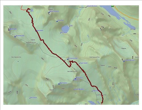
Peyto Hut to Balfour Hut track
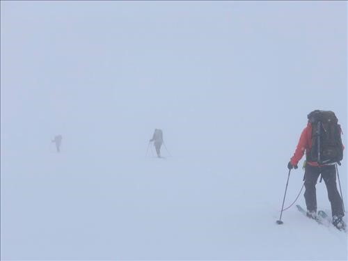
Heading for Olive/St Nich Col in whiteout
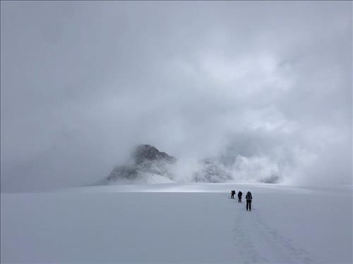
Finally St Nich emerges from the fog.
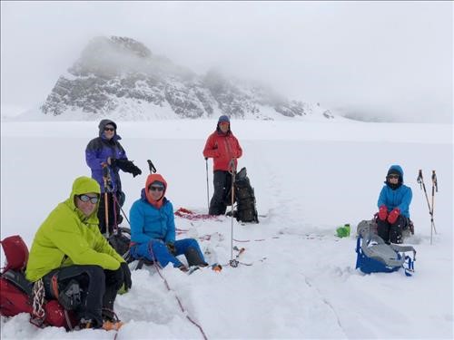
The team. Cathy taking picture.
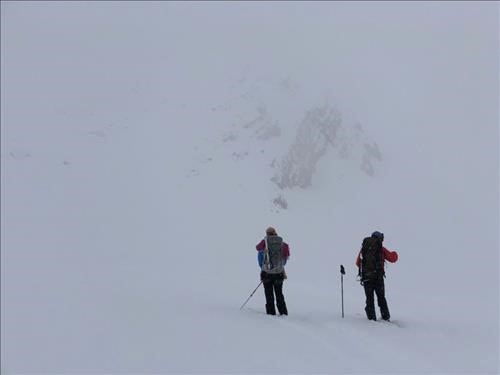
The view from t Olive/St Nich Col. Follow those tracks!
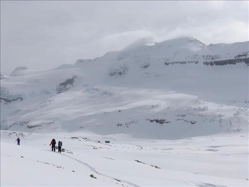
Descending to Balfour Hut as visibility improves
The Balfour High Col was our biggest concern with large crevasses to navigate and the hazard of icefall and avalanches from the northeast face of Mount Balfour. A very challenging route in whiteout conditions; but fortunately we were in luck! The morning was very cold, -12C, without a cloud in the sky. We could clearly see evidence of recent serac falls and avalanche debris along the traditional route so opted to take a lower less exposed route. The col was very windy and cold, and enveloped in clouds rolling of the summit off Balfour. Needless to say, this erased all thoughts of peak bagging in the group. The ski down to Scott Duncan Hut was straight forward and uneventful. However, in the evening the weather took a turn for the worst, with snow and 60 km winds that literally rocked the building all night.
Total distance: 11.5 km. Cum ascent: 880m. Cum descent: 575m
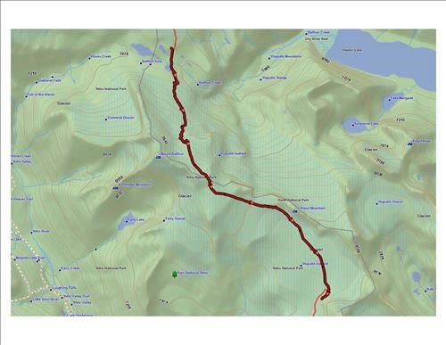
Balfour Hut to Scott Duncan Hut track
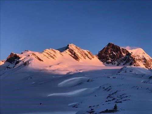
Mount Olive and Vulture Col at sunrise
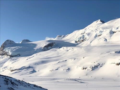
The route to Balfour High Col.
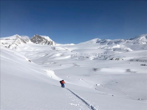
Views looking back to Mount Olive and the Vulture Glacier
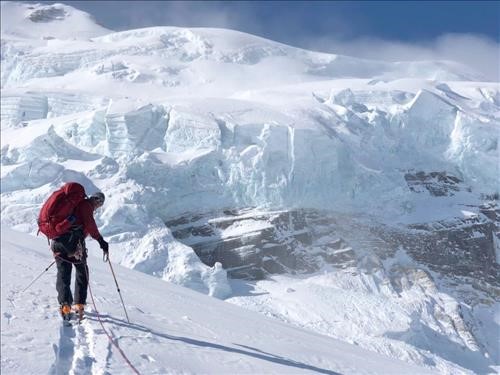
Ken with seracs overhanging the standard route.
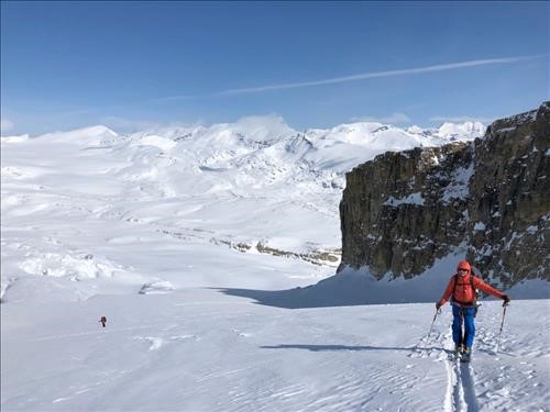
Our route took us close to the cliffs on the right and below the standard route.
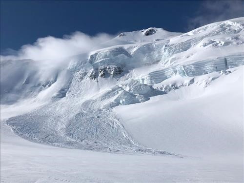
A significant avalanche caused by a serac fall
The morning brought a return to whiteout conditions and difficulty in seeing terrain features. Ken discovered this personally when he skied over an invisible wind roll under Mount Niles, and fell about 7m, fortunately without injury. Navigating onto the moraine bench southeast of Niles also proved to be tricky in the poor visibility, and required a short skin-up to regain our route. Once on the bench, the ski down via Sherbrooke Creek went smoothly with some nice turns in the 17cm of new snow. The final ski down from Sherbrooke Lake to Great Divide Lodge was, however, steep and icy, requiring lots of side-slipping.
Total distance: 17.2 km. Cum ascent: 271m. Cum descent: 1,444m
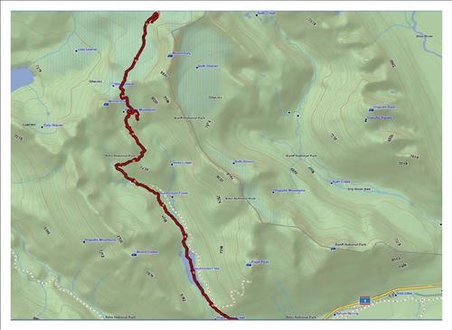
Scott Duncan Hut to Sherbrooke Lake track
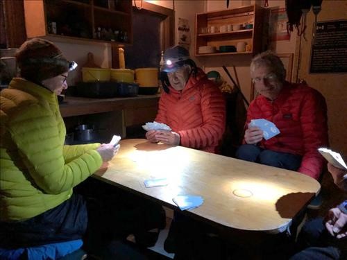
It was cold and the wind was howling, but we had some great card games.
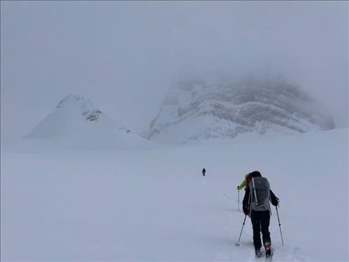
Heading towards Mount Niles in poor visibility.
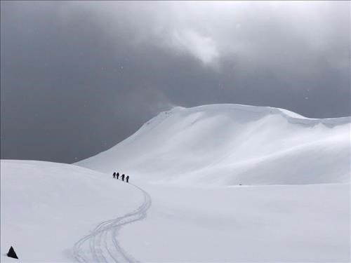
Heading along the moraine SE of Mount Niles.
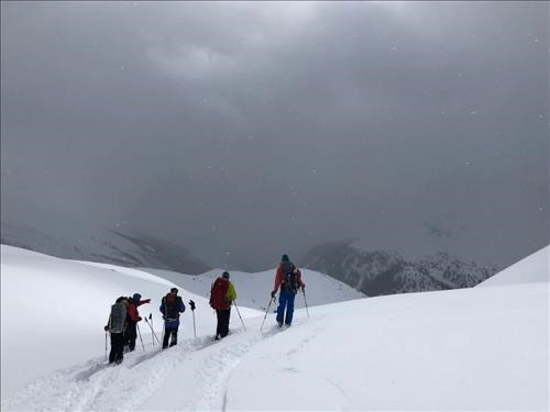
First view of Sherbrooke Creek. Note the fresh powder.
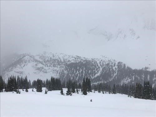
Top of treed run leading to Sherbrook Creek. Nice turns!
Sherbrooke Lake