Quartzite Peak Off-Trail hike on 30-Aug-2017
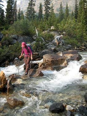
We started under smoky skies shortly after 9 am on the pleasant trail running alongside Mosquito ck,At the point where the trail crosses the creek on a log bridge we left the main trail and took a surprisingly good path to the left (cairn).We went as far as the point where you can see a side stream coming from the right.After carefully crossing the north fork
Crossing the fast flowing creek
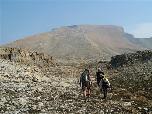
we ascended the slope that gives access to a large rocky plateau just under our objective
In the rocky plateau with Quartzite pk. just ahead
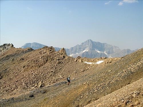
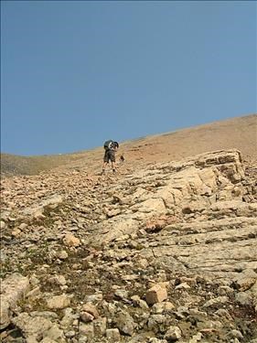
Soon we started the steep climb ,on solid rubble and slabs all the way to the ridge ,from there it was a short walk to the high point .Even with the smoky haze views were good and we enjoyed a long rest with a cooling breeze. Near the col between the west outlier and the main summit
It's a steep grind to the summit ridge
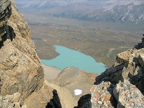
Looking down from the ridge to the brown meadows of Pipestone pass
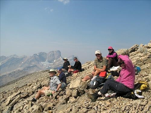
Quartzite Pk.summit
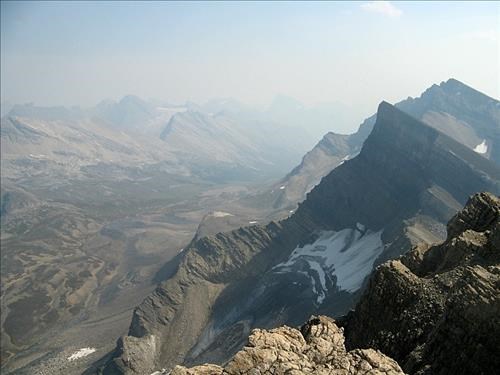
A hazy view to the south. Ramp and Mosquito on the right
In the way down we found a few ribbons of runable scree that made for a fast descent.After retracing our steps we were back at the cars at 5:30 . Ascent time 4 hrs , descent 3:30.Thanks to all Participants: Rosanne,Philip,Cordula,Jeannette,John,Bruce,Harold from Francisco C/S
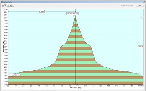
Quartzite Peak - Elevation Profile - Elevation Gain 1036m
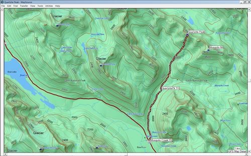
Quartzite Peak - GPS Track - Hike Distance 18km
