Muleshoe Ridge / W. Ridge of Cory Scramble on 30-Aug-2016

It was a beautiful day for almost anything including my first ascent of Muleshoe Ridge near Banff. Only one of today's five scramblers had been up before.We started about 9.00am from the Muleshoe picnic area about 5 km north on 1A from Banff (sign and outhouse). We crossed the road and headed up. The path wound south briefly before a junction and then the serious ascent started. It was steep and higher up there was deadfall.After about 2 hours with some breaks we emerged above treeline for a first snack/lunch break. Then we donned helmets for the rest of the ridge which was rocky and also plenty of talus. You can click on any photo for a bigger image.
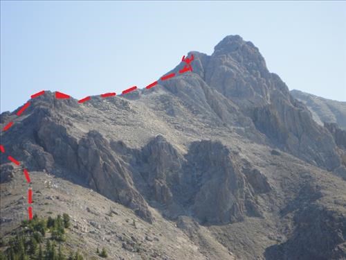
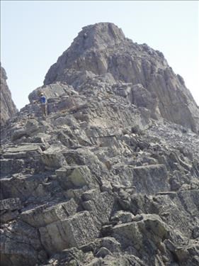
Mulestone Ridge to West Ridge of Mt. Cory, Banff NP.

Summit of West Ridge of Mt. Cory (2 Ramblers in the picture).

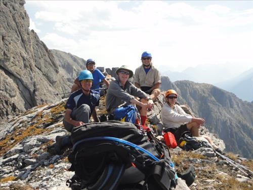
The ridge narrowed in a few spots, but was reasonably solid before a final somewhat exposed move brought us to a cairn and the "end of the road". Further upward progress on the west ridge of Cory would involve technical climbing. A good place for lunch as we struggled to identify the various peaks through the smoke. They included Assiniboine, Bourgeau, Temple and maybe Stanley or Ball. Photos taken, we started back down.

Summit of West Ridge of Mt. Cory David, Peter, Norman, Gary, Harold

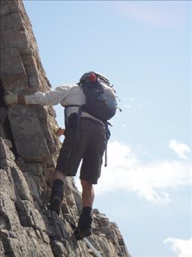
Harold skillfully descends the SC6 section of summit block of Mt. Cory's West Ridge.

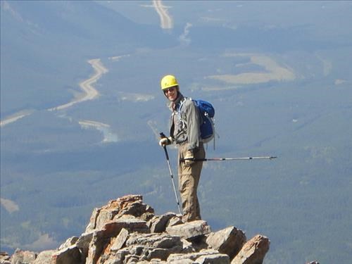
Norman descends West Ridge of Mt. Cory


It was hot and got hotter to reach +26c at the car at 4.00pm. Thanks to a good group who kept together, the trip was incident free apart from a black vest which was lost somewhere in the deadfall. We stopped in Tim Hortons by the Rail Station in Banff for cool drinks.Back in Calgary about 5.30pm. The road was surprisingly busy for a Tuesday afternoon. Stats from the database were 10km, 1128m elevation gain, 7 hours by us including all stops. It was an easy SC6, essentially SC5 with one 2 metre vertical partially exposed move at the very top that was maybe SC6. Of interest, one member reported finding an attached tick prior to taking his evening shower. Norman, Gary, Harold,Peter and David
Edit report | Back to List