Black Rock Mtn L/O Trail hike on 4-Aug-2016
I was surprised that the other three had never climbed this peak which I have done with several hiking clubs. But my last trip was several years ago and I have always walked (or driven) along the river to the bottom of the excellent trail from the valley to the lookout on top. Well we tried that and either the river is a lot bigger than it ever was before or it is now flowing well to the east of it's old course. We fairly quickly ended up on Daffern's trail 10G which traverses the east bank, generally 40 to 80 meters above the valley bottom. 80m, 50m, 70m, 60m, 70m, 45m etc, a lot of small ups and downs. Eventually we found that we seemed to be on trail 10F towards Hidden Pass without having found a route down to the start of the Black Rock trail. We bushwhacked across to the trail up. Easy bushwhack but with a nasty V-canyon to descend and ascend. After about an hour and a half we were on the familiar trail 10-15 minutes above the river bottom.
We were at the top after about 3 1/4 hours to enjoy the fabulous views. I was particularly looking to see if I could identify the furthest right peak that is visible from Scott Lake Hill. I am fairly certain that it is Kink and Fallen which are just north of the Waiporous River. These are recently named in bivouac.com and I believe correctly identified on the Panorama.

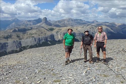
Carl, Greg and Gary on the summit of Black Rock Mtn

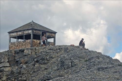
Old lookout on Black Rock Mtn

Panorama from Black Rock (fairly sure of the peak names)
After a break we went back down, wondering about Rambler reports of a route down the ridge directly to the car. It looked pretty scary to us.

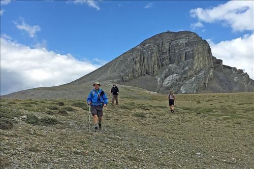
Descent off Black Rock Mtn

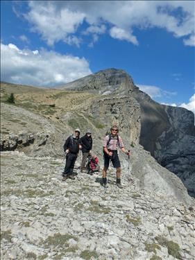
Overlooking the chasm SE of Black Rock
We returned down to the "kiosk and lineman's cabin" and looked for Daffern's trail 10F to 10G but were unable to find it and instead took an easy rising bushwhack to our outbound route. By being nearer the river we did not had to contend with the V-canyon.
Many thanks to Brian, Gary, and Greg for joining me, Carl (C/S).