South Ghost Peak - 2643 m Scramble on 2-May-2016
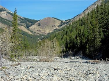
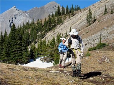
Exshaw Creek suffered greatly from the flood. While there used to be a trail through to Exshaw Pass, much of it has washed away. It is worse up to the south drainage from Mt Fable. North of that we could pick up the old trail enough that it provided a faster path than up the rocky creek bed. We were able to make Exshaw Pass in 5 hours. While below tree-line, the Pass is relatively open with the first spring flowers showing and a large colony of marmots.
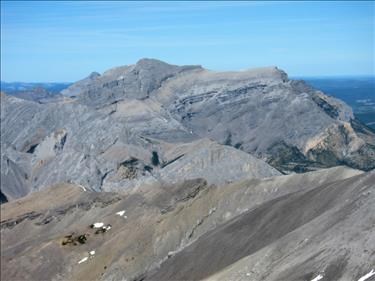
At the pass, we finally saw our objective.
The north side of the pass still had significant snow. While I had planned to use the west ridge, Alda pointed out that we could take the next ridge south and circle to the summit. We agreed on this route as it promised an extended walk along the ridges.
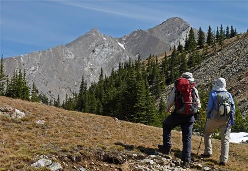
Arnold found a relatively snow free route down to the base of the ridge. The ridge provided relatively stable rock and slab, and steady climbing put us at the top, where we got a good view of our objective.
Great views were had along the ridge. Shortly we were opposite a minor point which has been called East South Ghost Peak. We walked over to it. It was minor ridge, though, and hardly a summit. It was far enough East to give us views of Devil's Head, which was hidden by Saddle Peak for most of the trip.
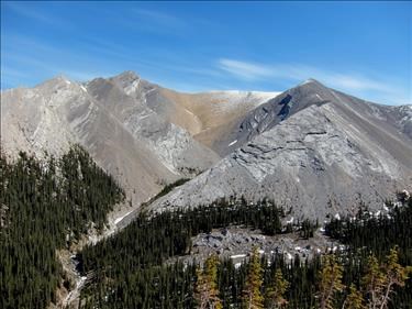
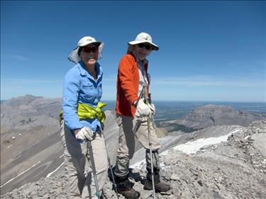
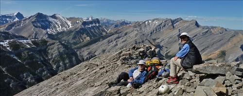
Further travel along the ridge took us to South Ghost Peak. The remaining snow outlined the peaks, making for dramatic views. This peak is centered among more well known groups and provides views not normally seen.
On descent, we headed down the west ridge then down the cirque after the first sub-peak. Loose rock made us thankful that we had not chosen this route for our ascent. Once at the creek, a traverse led us back to our ascent ridge and the route back to the pass.
With sunset not that far away, we moved quickly down Fable Creek, making it out in four hours. It was just getting dark when we reached the car.
Thanks Alda and Arnold on joining me for this visit to a remote peak. Thanks to Arnold for the better photos.
Although the GPS's differed, I recorded 37 km, 1760 m egain and 14.5 hours duration.
