Serendipity Peak 632927 Scramble on 6-Oct-2015
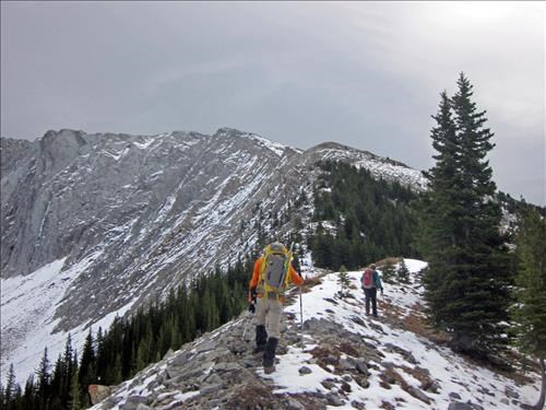
Arnold and Carl on ridge below "Serendipity peak"
In the bush we had kept fairly close together as a group but above tree line where the route was obvious we spread out with the folks arriving at the summit over a period of an hour I guess.
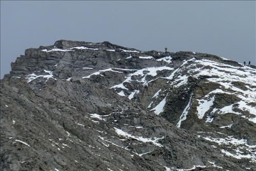
Arnold leading the way to Serendipity Peak
A few of the group found the rubble on a bit of slab in spots that alternated with loose gullies was not the most fun mountain experience they had ever had. As Kevin commented it might have been better with more "good step kicking snow". Near the summit Arnold did kick a nice, unfortunately short, set of steps. On the summit there was a bit of wind and we were in a bit of cloud though there was blue sky to the west - with us on the edge of the chinook arch.
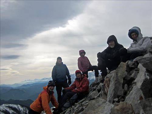
John, Kevin, Manfred, Jeannette, Arnold and Inge on summit "Serendipity peak" below a chinook arch
East of the unofficial named "Serendipity peak" is Patterson's peak which a couple of the group had done on different overnight trips using different approaches (one from upper Trap creek and the other via a col between the Dog tooth range and the Lineham peaks). As indicated in the latest edition of the Andrew Nugara "More Scrambles" guide book it is possible to do Patterson's peak as a long day trip via "Serendipity". Following photo shows Patterson's peak behind "Serendipity":
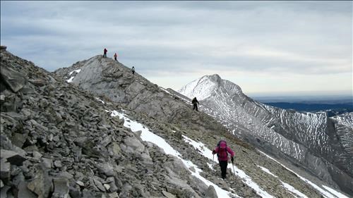
Leaving the summit of Serendipity Peak (Patterson's peak in the background)
As usual a bit of care was needed on the descent with loose rock and some of slabs had to be bypassed occasionally on nice snow.
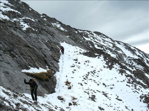
Arnold and Jeanette on the upper slope of Serendipity Peak
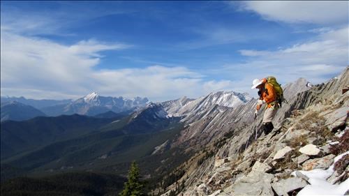
Arnold descending the lower section of the ridge
As we were descending the chinook arch moved a little east and we had some blue skies under which we could admire the upper Highwood valley.
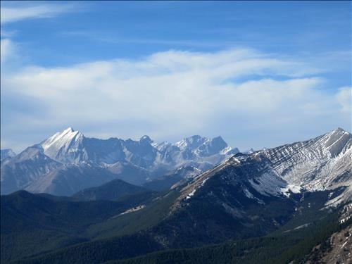
Mts Mist, Storm and Rae with Lineham Ridge in the forground
On the return we nearly repeated a similar error I think to one Bob Spirko mentions. We almost missed the turn in the dog leg to stay on the first ascent ridge. An alert Kevin noticed this and a quick confirmation with the GPS got us back on track. The last of the group got back to the cars at 6:00 pm for a longer day (~9 hours) than I expected. Less snow than I expected and pleasant company made for an enjoyable day for me, John, with Kevin, Carl, Inge, Manfred,Jeannette and Arnold.