Mustang Hills (and Rainy Summit trails) Off-Trail Hike on 29-Oct-2014
Daffern's new books describe a myriad of "new" trails. The area on both sides of Rainy Summit has a number of these. We parked at the Cobble Flats picnic area near the end of the Elbow Falls Trail (hwy66). From there we first followed the river and then headed up trail 27A to the Mustang Hills. I don't think that any of us had been on these trails, most of us weren't even aware that they existed. The route is at time indistinct but the going is easy even when off the "trail".

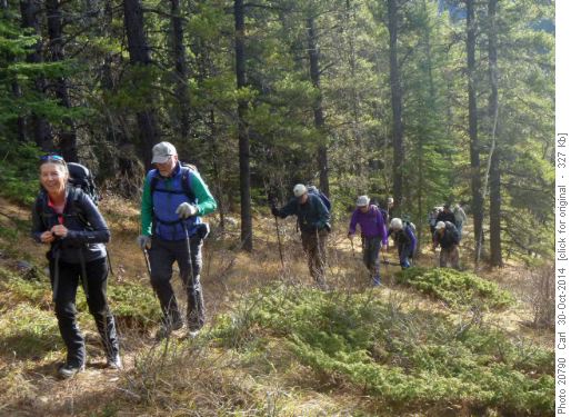
Trail from the Elbow River to Mustang Hills

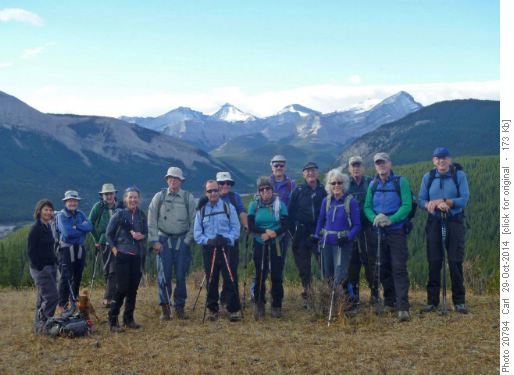
On the east summit of Mustang Hills (Banded-Glasgow in bkg)

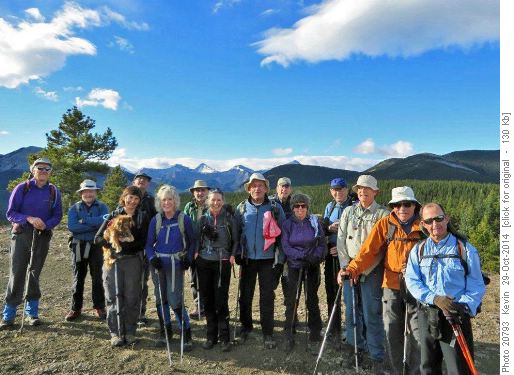
On the centre (highest) summit of Mustang Hills

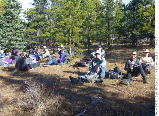
Lunch break near the summit of trail 28D
Many thanks to Carolyn, Deborah (and Honey), Aldis, Bill, Rosanne, Philip, Damian, Enrique, Harold, Joe, Kevin, Peter, Peter, Ron for joining me (and tying my record for participants), Carl (C/S).