Conical Peak Scramble on 17-Oct-2014
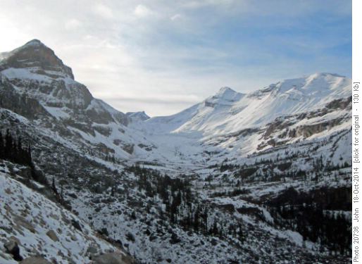
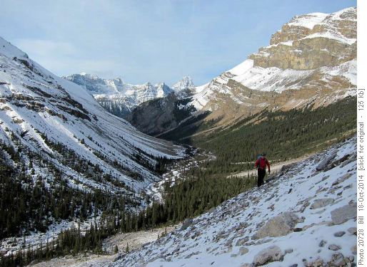
Down the valley, Howse Peak dominates the Divide on the other side of the highway.
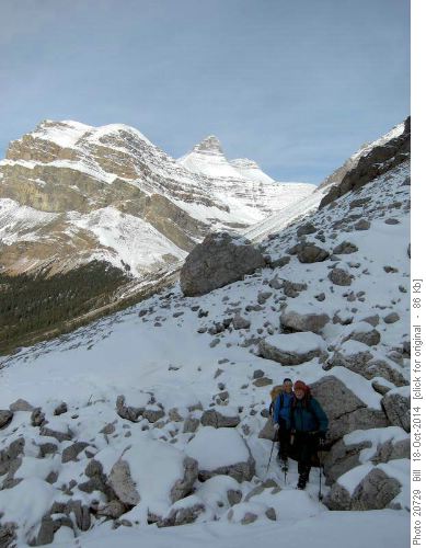
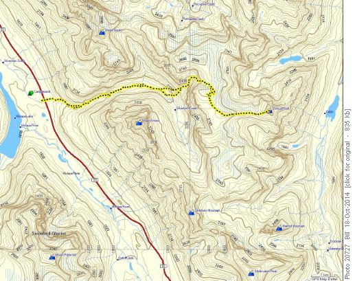
We chose a route up through the first big cirque to the east. As we got higher, Weed and Noyes dominated the view to the west.
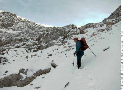
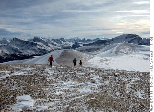
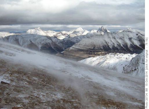
Partially frozen scree with 5 to 10 cm of snow made for rough travel.
Working our way up the cirque, we reached the long flat ridge that leads over a number of small peaks to Silverhorn Pass. Conical Peak is fairly modest at 2819 m. The peculiar thing about doing the peak is that we had to traverse two peaks of similar height on the way to Conical Peak, and climb them again on the way back.
Along the way, good views where had directly up the Dolomite drainage, giving views of Watermelon, Bobac, Oxo, Dolomite and Observation.
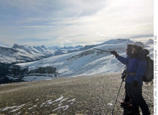
Some time is always spent picking out future objectives.
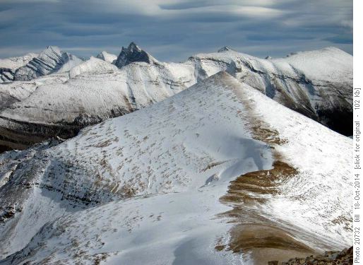
The naming of Conical Peak becomes logical once it is seen.
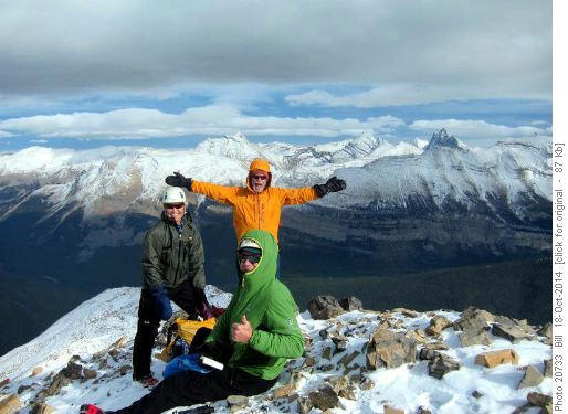
At the summit, we found that our visit was the second since the register was placed by Rick Collier in 1992. Three visited it in 2006.
On the way back, the Recondite group was visible to the East. Five main peaks stick up as pinnacles that are visible from most of northern Banff National Park.
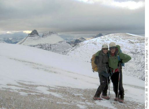
A last look around on the ridge.
After the long process of re-summiting the intervening peaks, we made good time down the cirque. Reaching Silverhorn Creek we realized that we were running out of daylight so we moved quickly out. Luckily, the animal track was easier to follow on the way down. We arrived back at the highway just as it was getting dark.
Stats for the trip were 23 km, 1840 m egain and 11.5 hrs.
Thanks to Alda, Bob and John for joining me in the adventure - Bill.
